
municipality of SpainArtieda, Aragon
Artieda
part of UNESCO World Heritage Site
Typemunicipality of Spain
Built–
Best monthsJun · Sep–Octweather in Artieda
42.59° N, 0.98° WUTC+1 · Central European Standard Time
When to goArtieda · weather score
Best timeJun · Sep–Oct
October: high / low20° / 8°
iAbout
Artieda in brief
Artieda is a municipality of spain in Artieda, Aragon, Spain. Municipality of Aragón.
It holds the designation part of UNESCO World Heritage Site.
For a visit, the weather in Artieda is best in June, September and October; in October afternoons average 20°.
iiLocation
Where to find it
iiiWhen to visit
Climate guideWeather in Artieda
Month score for sightseeing
Best Jun · Sep–Oct21
Jan
33
Feb
47
Mar
61
Apr
65
May
70
Jun
58
Jul
55
Aug
76
Sep
72
Oct
37
Nov
25
Dec
Around here
Artieda and around

Nature

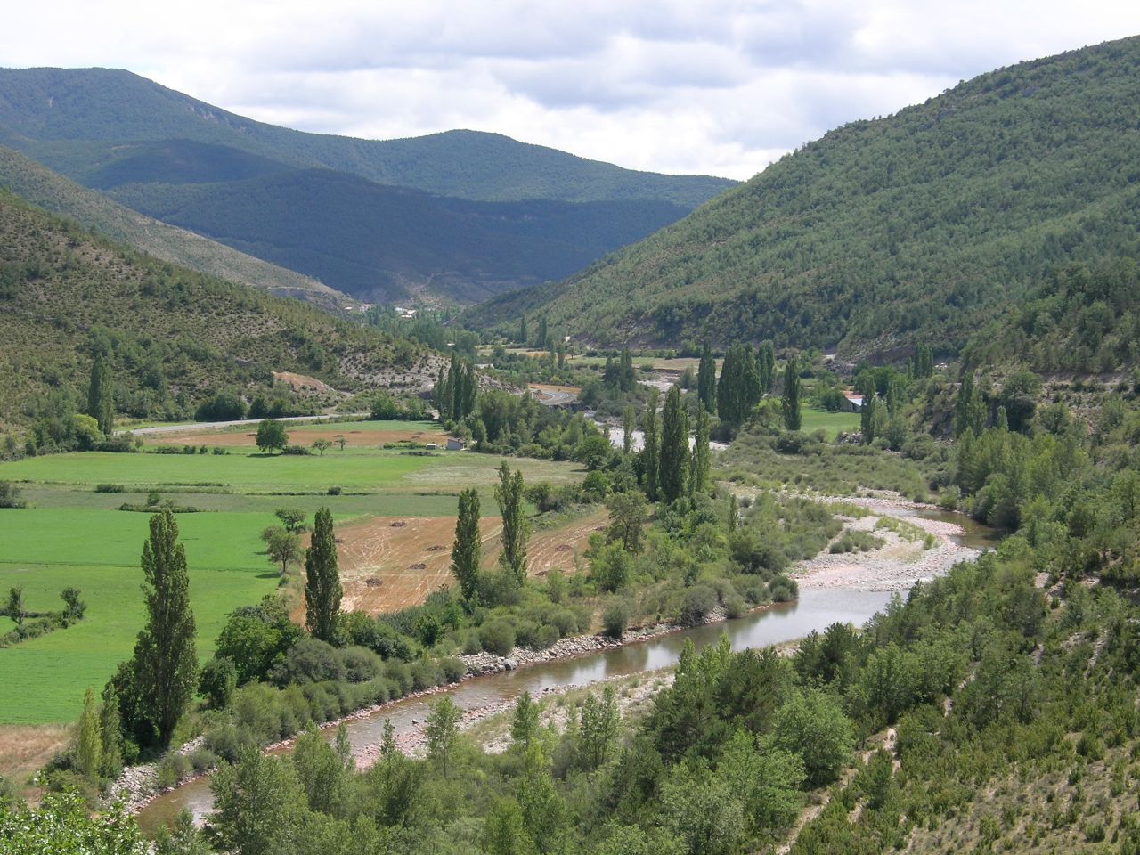
Photo: Jule_Berlin from Berlin, Germany · CC BY 2.0 · Wikimedia CommonsReport this photo · linked, not stored
Yesa Reservoir
Lake · 488 m
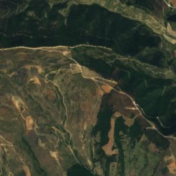
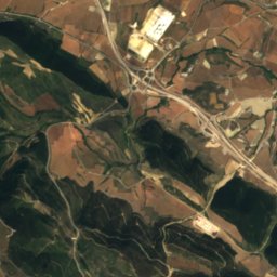
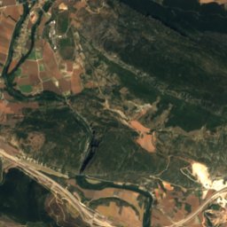
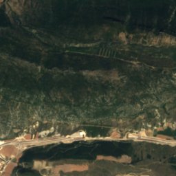
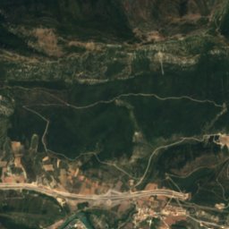
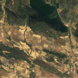
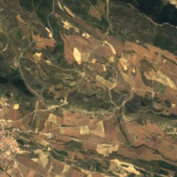
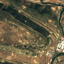
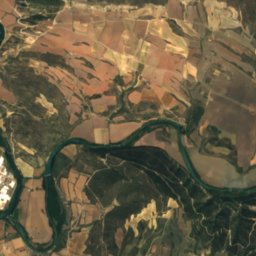
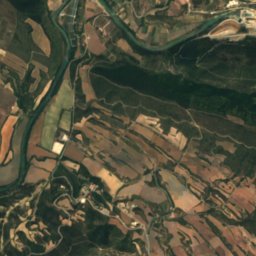
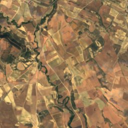
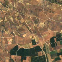
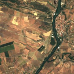
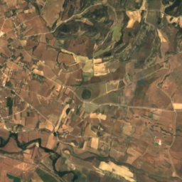
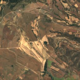
Satellite: Sentinel-2 cloudless 2016 by EOX IT Services GmbH · CC BY 4.0 · Contains modified Copernicus Sentinel data 2016
Irati River
River
Mountains
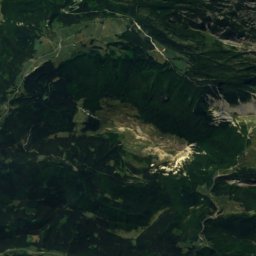
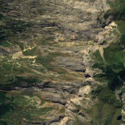
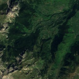
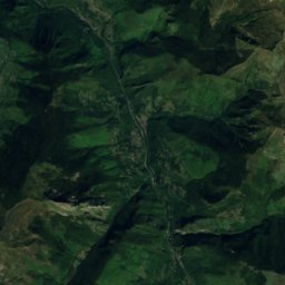
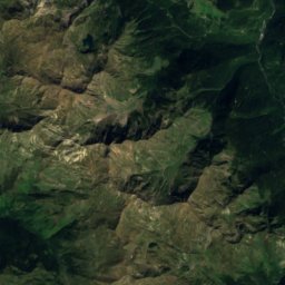
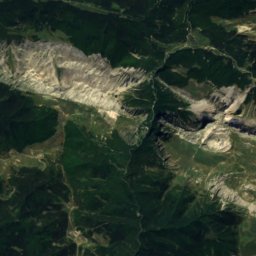
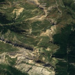
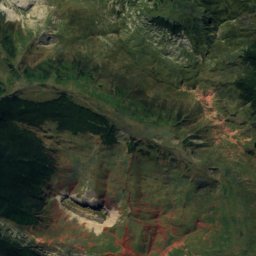
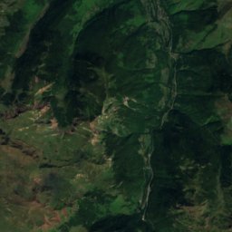
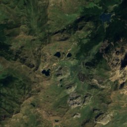
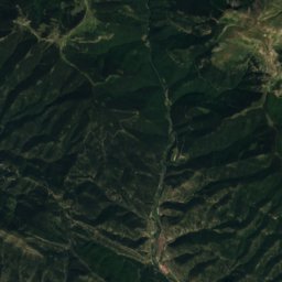
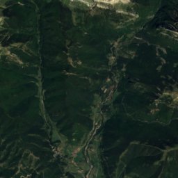
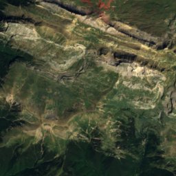
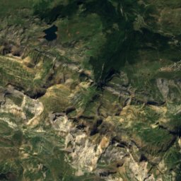
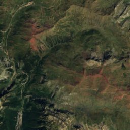
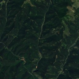
Satellite: Sentinel-2 cloudless 2016 by EOX IT Services GmbH · CC BY 4.0 · Contains modified Copernicus Sentinel data 2016
Bisaurin
2,668 m · Pyrenees

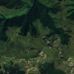
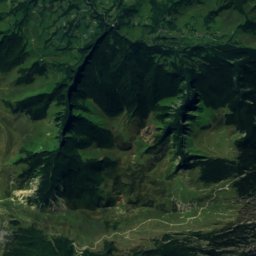
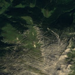
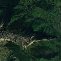
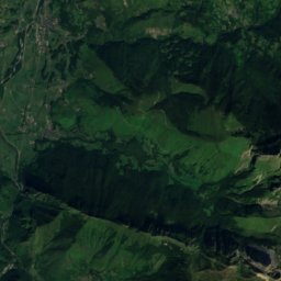
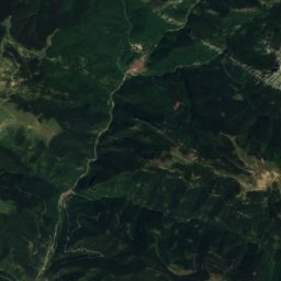
Satellite: Sentinel-2 cloudless 2016 by EOX IT Services GmbH · CC BY 4.0 · Contains modified Copernicus Sentinel data 2016
Mallo de Acherito
2,375 m · Pyrenees
Heritage


Photo: Txo (discusión) Mi discusión en castellano 18:27, 29 October 2007 (UTC) · CC BY-SA 3.0 · Wikimedia CommonsReport this photo · linked, not stored
Tiermas
part of UNESCO World Heritage Site


