Skip to content
Destinations
Weather & climate
Nature
Outdoors
Culture
Events
Sky & live
Arrés
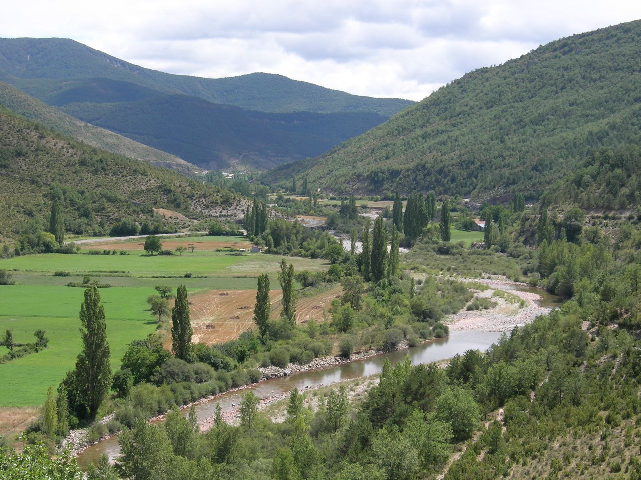
Photo: Ziegelbrenner · CC BY-SA 3.0 · Wikimedia Commons
ArrésReport this photo · linked, not stored
single entity of populationPuente la Reina de Jaca, Aragon

Arrés

part of UNESCO World Heritage Site
Typesingle entity of population
Built–
Best monthsJun · Sep–Octweather in Puente la Reina de Jaca
42.56° N, 0.83° WUTC+2 · Central European Summer Time
When to goPuente la Reina de Jaca · weather score
JanFebMarAprMayJunJulAugSepOctNovDec73October
Best timeJun · Sep–Oct
October: high / low20° / 8°
iAbout

Arrés in brief

Arrés is a single entity of population in Puente la Reina de Jaca, Aragon, Spain. Locality.

It holds the designation part of UNESCO World Heritage Site.

For a visit, the weather in Puente la Reina de Jaca is best in June, September and October; in October afternoons average 20°.

Puente la Reina de Jaca: weather and travel guide

Facts

Type
single entity of population
Designation
part of UNESCO World Heritage Site
Nearest town
Puente la Reina de Jaca
Region
Aragon
Coordinates
42.55574, -0.82689
iiLocation

Where to find it

iiiWhen to visit

Weather in Puente la Reina de Jaca

Climate guide

Month score for sightseeing

Best Jun · Sep–Oct
23
Jan
35
Feb
50
Mar
63
Apr
66
May
70
Jun
56
Jul
54
Aug
75
Sep
73
Oct
40
Nov
29
Dec
Around here

Puente la Reina de Jaca and around

Puente la Reina de Jaca
Photo: Willyman · CC BY-SA 4.0 · Wikimedia CommonsReport this photo · linked, not stored

Puente la Reina de Jaca

Aragon · Spain
Jun · Sep–Octbest months
30°July high
707 maltitude
Puente la Reina de Jaca

Nature

Aragón Subordán
Photo: Eneko Astigarraga · CC BY-SA 2.0 · Wikimedia CommonsReport this photo · linked, not stored
0.8 km E

Aragón Subordán

River
Aragón Subordán
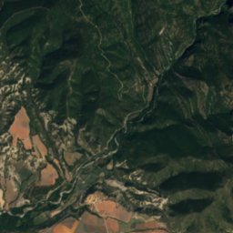
Satellite: Sentinel-2 cloudless 2016 by EOX IT Services GmbH · CC BY 4.0 · Contains modified Copernicus Sentinel data 2016
7.8 km NW

Veral River

River
Veral River
La Peña Reservoir
Photo: McBodes · CC BY 3.0 · Wikimedia CommonsReport this photo · linked, not stored
20 km S

La Peña Reservoir

Lake · 538 m
La Peña Reservoir

Mountains

Collarada
Photo: Gcc32 · CC BY-SA 3.0 · Wikimedia CommonsReport this photo · linked, not stored
31 km NE

Collarada

2,886 m · Pyrenees
Collarada
Pala de Ip
Photo: Willtron · CC BY-SA 3.0 · Wikimedia CommonsReport this photo · linked, not stored
34 km NE

Pala de Ip

2,779 m · Pyrenees
Pala de Ip
Escarra Peak
Photo: Willtron · CC BY-SA 3.0 · Wikimedia CommonsReport this photo · linked, not stored
35 km NE

Escarra Peak

2,760 m · Pyrenees
Escarra Peak

Heritage

Royal Monastery of San Juan de la Peña
Photo: Elemaki · CC BY 3.0 · Wikimedia CommonsReport this photo · linked, not stored
11 km SE

Royal Monastery of San Juan de la Peña

part of UNESCO World Heritage Site · 900
Royal Monastery of San Juan de la Peña
San Caprasio
Photo: Zarateman · CC BY-SA 3.0 es · Wikimedia CommonsReport this photo · linked, not stored
10 km E

San Caprasio

part of UNESCO World Heritage Site · 1001
San Caprasio
Santa Cilia
Photo: Tkt2011 · CC BY-SA 3.0 · Wikimedia CommonsReport this photo · linked, not stored
6.0 km E

Santa Cilia

part of UNESCO World Heritage Site
Santa Cilia

Museums

Interpretation Center of San Juan de la Peña
Photo: Zarateman · CC0 · Wikimedia CommonsReport this photo · linked, not stored
11 km SE

Interpretation Center of San Juan de la Peña

Interpretation centre
Interpretation Center of San Juan de la Peña