




Satellite: Sentinel-2 cloudless 2016 by EOX IT Services GmbH · CC BY 4.0 · Contains modified Copernicus Sentinel data 2016

Photo: Matjaž Mirt from Krško, Slovenia · CC BY 2.0 · Wikimedia Commons
Veliki PodlogReport this photo · linked, not stored
Veliki PodlogVeliki PodlogReport this photo · linked, not stored
 Neviodunum

Photo: Janezdrilc · CC0 · Wikimedia Commons
Our Lady of Sorrows Church, Leskovec pri KrškemReport this photo · linked, not stored
Our Lady of Sorrows Church, Leskovec pri KrškemOur Lady of Sorrows Church, Leskovec pri KrškemReport this photo · linked, not stored
cultural heritage site in SloveniaVeliki Podlog, Urban Municipality of Krško
Jelše
registered immobile cultural heritage of Slovenia
Typecultural heritage site in Slovenia
Built–
Best monthsApr · Sep–Octweather in Veliki Podlog
45.90° N, 15.47° EUTC+1 · Central European Standard Time
When to goVeliki Podlog · weather score
Best timeApr · Sep–Oct
October: high / low17° / 7°
iAbout
Jelše in brief
Jelše is a cultural heritage site in slovenia in Veliki Podlog, Urban Municipality of Krško, Slovenia.
It holds the designation registered immobile cultural heritage of Slovenia.
For a visit, the weather in Veliki Podlog is best in April, September and October; in October afternoons average 17°.
Facts
- Type
- cultural heritage site in Slovenia
- Designation
- registered immobile cultural heritage of Slovenia
- Nearest town
- Veliki Podlog
- Region
- Urban Municipality of Krško
- Coordinates
- 45.89951, 15.46948
iiLocation
Where to find it
iiiWhen to visit
Climate guideWeather in Veliki Podlog
Month score for sightseeing
Best Apr · Sep–Oct33
Jan
30
Feb
46
Mar
69
Apr
65
May
61
Jun
56
Jul
61
Aug
72
Sep
67
Oct
30
Nov
27
Dec
ivNearby
All monuments in SloveniaMore heritage close by
Photo: Matjaž Mirt from Krško, Slovenia · CC BY 2.0 · Wikimedia CommonsReport this photo · linked, not stored
Veliki Podlog
1.3 km W
registered immobile cultural heritage of Slovenia
Satellite: Sentinel-2 cloudless 2016 by EOX IT Services GmbH · CC BY 4.0 · Contains modified Copernicus Sentinel data 2016
Brege
3.3 km NE
registered immobile cultural heritage of Slovenia
Satellite: Sentinel-2 cloudless 2016 by EOX IT Services GmbH · CC BY 4.0 · Contains modified Copernicus Sentinel data 2016
Podbočje
3.8 km S
registered immobile cultural heritage of Slovenia
Our Lady of Sorrows Church, Leskovec pri Krškem
4.9 km N
monument of local significance
Around here
Veliki Podlog and around
Photo: Matjaž Mirt from Krško, Slovenia · CC BY 2.0 · Wikimedia CommonsReport this photo · linked, not stored
Veliki Podlog
Urban Municipality of Krško · Slovenia
Apr · Sep–Octbest months
28°July high
155 maltitude
Nature
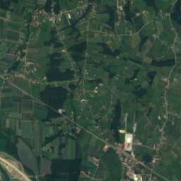
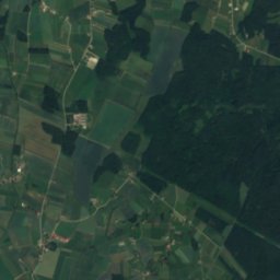
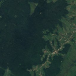
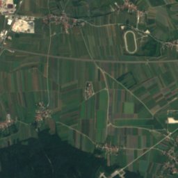
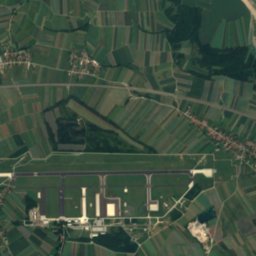
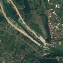
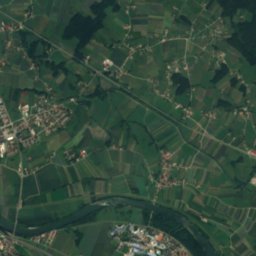
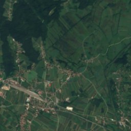
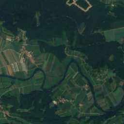
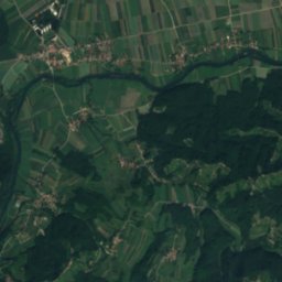
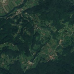
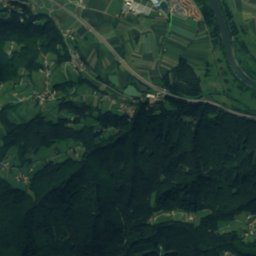
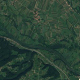
Satellite: Sentinel-2 cloudless 2016 by EOX IT Services GmbH · CC BY 4.0 · Contains modified Copernicus Sentinel data 2016
Krka
River

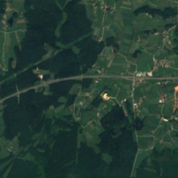
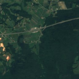
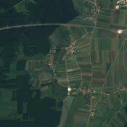
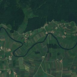
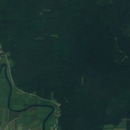
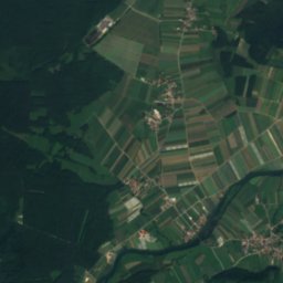
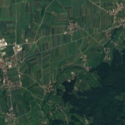
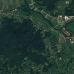
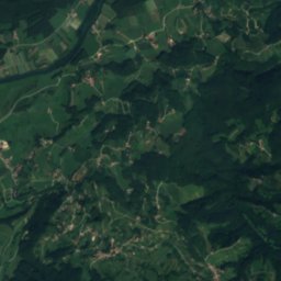
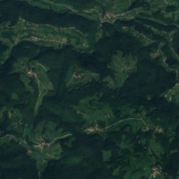
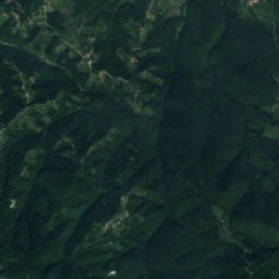
Satellite: Sentinel-2 cloudless 2016 by EOX IT Services GmbH · CC BY 4.0 · Contains modified Copernicus Sentinel data 2016
Levak cave
Cave
Mountains

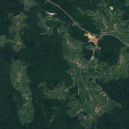
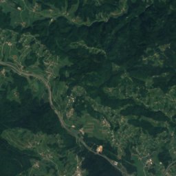
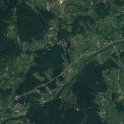
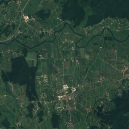
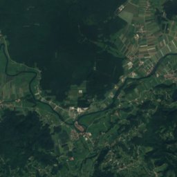
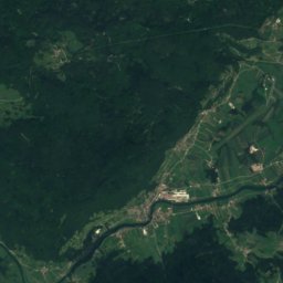
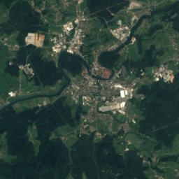
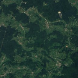
Satellite: Sentinel-2 cloudless 2016 by EOX IT Services GmbH · CC BY 4.0 · Contains modified Copernicus Sentinel data 2016
Sveta Gera
1,181 m · Žumberak Mountains
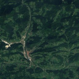
Satellite: Sentinel-2 cloudless 2016 by EOX IT Services GmbH · CC BY 4.0 · Contains modified Copernicus Sentinel data 2016
Veliki Javornik, Urban Municipality of Krško
1,023 m · Bohor
Heritage





Satellite: Sentinel-2 cloudless 2016 by EOX IT Services GmbH · CC BY 4.0 · Contains modified Copernicus Sentinel data 2016
Veliki Podlog
registered immobile cultural heritage of Slovenia


