Skip to content
Destinations
Weather & climate
Nature
Outdoors
Culture
Events
Sky & live
Rugezi Marsh
Photo: Bisoke · CC BY-SA 4.0 · Wikimedia Commons
Rugezi MarshReport this photo · linked, not stored
protected areaRuhunde, Northern Province

Rugezi Marsh

Important Bird AreaRamsar site
Typeprotected area
Built–
Best monthsJun–Augweather in Ruhunde
1.53° S, 29.91° EUTC+2 · Central Africa Time
When to goRuhunde · weather score
JanFebMarAprMayJunJulAugSepOctNovDec53October
Best timeJun–Aug
October: high / low20° / 12°
iAbout

Rugezi Marsh in brief

Rugezi Marsh is a protected area in Ruhunde, Northern Province, Rwanda.

It holds the designations Important Bird Area and Ramsar site.

For a visit, the weather in Ruhunde is best in June, July and August; in October afternoons average 20°.

Ruhunde: weather and travel guide

Facts

Type
protected area
Designation
Important Bird Area
Ramsar site
Nearest town
Ruhunde
Region
Northern Province
Coordinates
-1.52889, 29.90944
iiLocation

Where to find it

iiiWhen to visit

Weather in Ruhunde

Climate guide

Month score for sightseeing

Best Jun–Aug
57
Jan
56
Feb
54
Mar
52
Apr
56
May
69
Jun
76
Jul
60
Aug
58
Sep
53
Oct
53
Nov
57
Dec
Around here

Ruhunde and around

Ruhunde
Photo: Bisoke · CC BY-SA 4.0 · Wikimedia CommonsReport this photo · linked, not stored

Ruhunde

Northern Province · Rwanda
Jun–Augbest months
21°July high
2,197 maltitude
Ruhunde

Nature

Lake Burera
Photo: Serge · CC BY-SA 4.0 · Wikimedia CommonsReport this photo · linked, not stored
22 km NW

Lake Burera

Lake · 1,862 m
Lake Burera
Lake Ruhondo
Photo: Joseph Lionceau · CC BY-SA 4.0 · Wikimedia CommonsReport this photo · linked, not stored
22 km W

Lake Ruhondo

Lake · 1,764 m
Lake Ruhondo
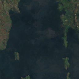
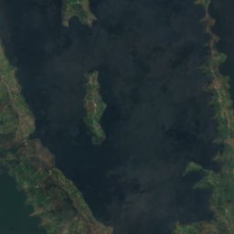
Satellite: Sentinel-2 cloudless 2016 by EOX IT Services GmbH · CC BY 4.0 · Contains modified Copernicus Sentinel data 2016
21 km NW

Birwa I Island

Island
Birwa I Island

Mountains

Mount Muhabura
Photo: The1ste · CC BY-SA 4.0 · Wikimedia CommonsReport this photo · linked, not stored
35 km NW

Mount Muhabura

4,127 m · Virunga Mountains
Mount Muhabura
Mount Gahinga
Photo: Happyartst · CC BY-SA 4.0 · Wikimedia CommonsReport this photo · linked, not stored
37 km NW

Mount Gahinga

3,474 m · Virunga Mountains
Mount Gahinga
Kabuye
Photo: Dpiskho · CC BY-SA 4.0 · Wikimedia CommonsReport this photo · linked, not stored
15 km SW

Kabuye

2,643 m
Kabuye

Museums

National Liberation Museum Park
Photo: Jeanpaul.yeswecan · CC0 · Wikimedia CommonsReport this photo · linked, not stored
14 km NE

National Liberation Museum Park

National Liberation Museum Park