












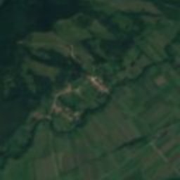







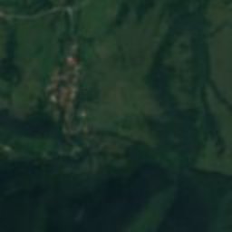


















Satellite: Sentinel-2 cloudless 2016 by EOX IT Services GmbH · CC BY 4.0 · Contains modified Copernicus Sentinel data 2016
human settlementCârnești, Hunedoara County
Tapae
Historic Monument
Typehuman settlement
Built–
Best monthsMay · Sep–Octweather in Cârnești
45.51° N, 22.72° EUTC+3 · Eastern European Summer Time
When to goCârnești · weather score
Best timeMay · Sep–Oct
October: high / low17° / 6°
iAbout
Tapae in brief
Tapae is a human settlement in Cârnești, Hunedoara County, Romania. Site of two battles between Dacians and Romans during the 1st century CE.
It holds the designation Historic Monument.
For a visit, the weather in Cârnești is best in May, September and October; in October afternoons average 17°.
Facts
- Type
- human settlement
- Designation
- Historic Monument
- Nearest town
- Cârnești
- Region
- Hunedoara County
- Coordinates
- 45.50560, 22.72470
iiLocation
Where to find it
iiiWhen to visit
Climate guideWeather in Cârnești
Month score for sightseeing
Best May · Sep–Oct28
Jan
34
Feb
32
Mar
64
Apr
65
May
64
Jun
57
Jul
65
Aug
74
Sep
70
Oct
27
Nov
28
Dec
Around here
Cârnești and around

Nature


Mountains


Photo: Igor.skokan at English Wikipedia · Public domain · Wikimedia CommonsReport this photo · linked, not stored
Păpușa Peak
2,504 m · Retezat Mountains
Heritage

Photo: Țetcu Mircea Rareș · CC BY-SA 3.0 ro · Wikimedia CommonsReport this photo · linked, not stored
Pogany mansion in Păclișa, Hunedoara
Historic Monument

Photo: Țetcu Mircea Rareș · CC BY-SA 3.0 ro · Wikimedia CommonsReport this photo · linked, not stored
Church of the Pentecost in Ostrov, Hunedoara
Historic Monument








Satellite: Sentinel-2 cloudless 2016 by EOX IT Services GmbH · CC BY 4.0 · Contains modified Copernicus Sentinel data 2016
Sânpetru Formation
Tentative World Heritage Site
Museums













Satellite: Sentinel-2 cloudless 2016 by EOX IT Services GmbH · CC BY 4.0 · Contains modified Copernicus Sentinel data 2016