
Photo: I, AgainErick · CC BY-SA 3.0 · Wikimedia Commons
TunanmarkaReport this photo · linked, not stored
TunanmarkaReport this photo · linked, not stored
archaeological siteJauja, Junin
Tunanmarka
cultural heritage of Peru
Typearchaeological site
Built–
Best monthsMay · Jul–Augweather in Jauja
11.72° S, 75.60° WUTC−5 · Peru Standard Time
When to goJauja · weather score
Best timeMay · Jul–Aug
October: high / low15° / 5°
iAbout
Tunanmarka in brief
Tunanmarka is an archaeological site in Jauja, Junin, Peru.
It holds the designation cultural heritage of Peru.
For a visit, the weather in Jauja is best in May, July and August; in October afternoons average 15°.
iiLocation
Where to find it
Around here
Jauja and around

Nature

Photo: Giancarlo Antonio Chiappe Aguilar · CC BY-SA 4.0 · Wikimedia CommonsReport this photo · linked, not stored
Laguna de Paca
Lake
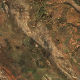
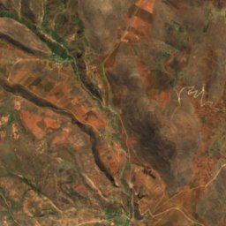
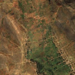
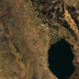
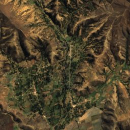
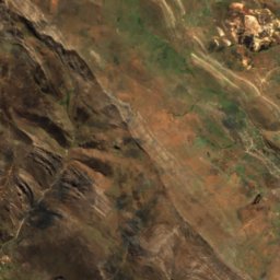
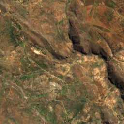
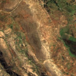
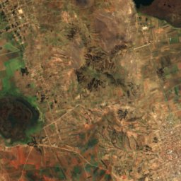
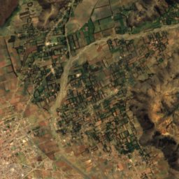
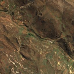
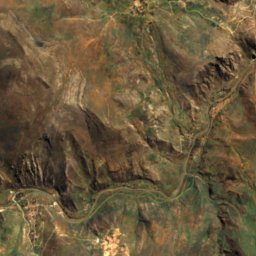
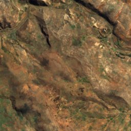
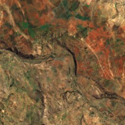
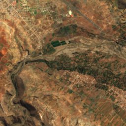
Satellite: Sentinel-2 cloudless 2016 by EOX IT Services GmbH · CC BY 4.0 · Contains modified Copernicus Sentinel data 2016
Lake Tragadero
Lake · 3,460 m
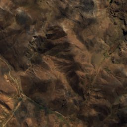
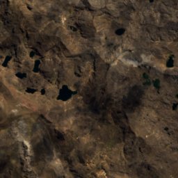
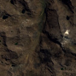
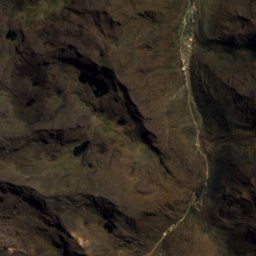
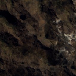
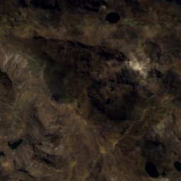
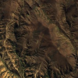
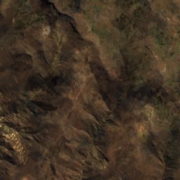
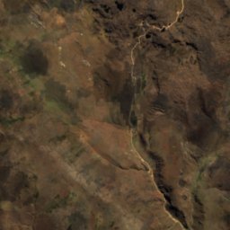
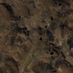
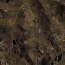
Satellite: Sentinel-2 cloudless 2016 by EOX IT Services GmbH · CC BY 4.0 · Contains modified Copernicus Sentinel data 2016
Laguna Chulluncocha
Lake
Mountains
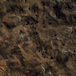
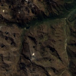
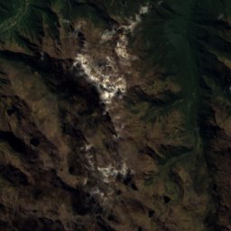
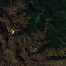
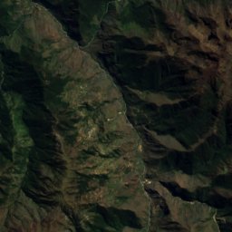
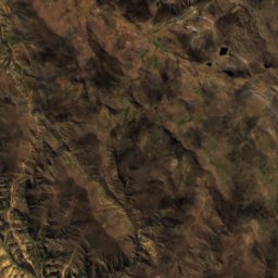
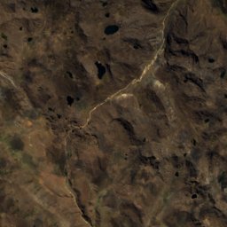
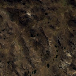
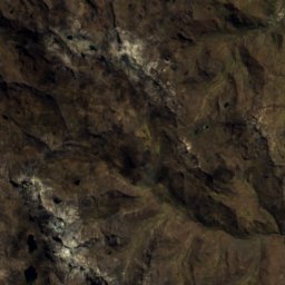
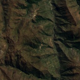
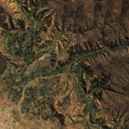
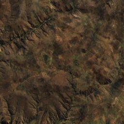
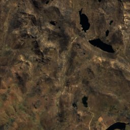
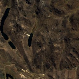
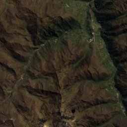
Satellite: Sentinel-2 cloudless 2016 by EOX IT Services GmbH · CC BY 4.0 · Contains modified Copernicus Sentinel data 2016
Utkhulasu
5,000 m · Andes
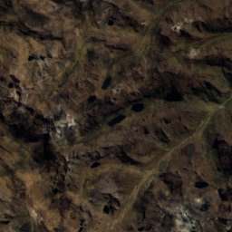
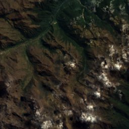
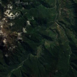
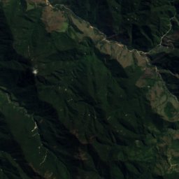
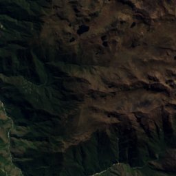
Satellite: Sentinel-2 cloudless 2016 by EOX IT Services GmbH · CC BY 4.0 · Contains modified Copernicus Sentinel data 2016
Marairazo
4,943 m · Andes
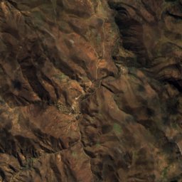
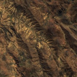
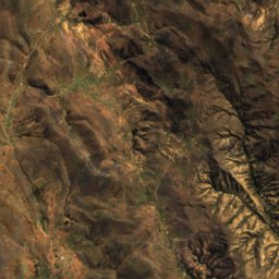
Satellite: Sentinel-2 cloudless 2016 by EOX IT Services GmbH · CC BY 4.0 · Contains modified Copernicus Sentinel data 2016
Uqsha Mach'ay
4,800 m · Andes
Heritage





Satellite: Sentinel-2 cloudless 2016 by EOX IT Services GmbH · CC BY 4.0 · Contains modified Copernicus Sentinel data 2016
Cathedral of Jauja
cultural heritage of Peru
Satellite: Sentinel-2 cloudless 2016 by EOX IT Services GmbH · CC BY 4.0 · Contains modified Copernicus Sentinel data 2016
Plaza de armas de Jauja
cultural heritage of Peru