
archaeological siteLlata, Huánuco Department
Rapayán
cultural heritage of Peru
Typearchaeological site
Built–
Best monthsJul–Sepweather in Llata
9.20° S, 76.76° WUTC−5 · Peru Standard Time
When to goLlata · weather score
Best timeJul–Sep
October: high / low16° / 7°
iAbout
Rapayán in brief
Rapayán is an archaeological site in Llata, Huánuco Department, Peru.
It holds the designation cultural heritage of Peru.
For a visit, the weather in Llata is best in July, August and September; in October afternoons average 16°.
Facts
- Type
- archaeological site
- Designation
- cultural heritage of Peru
- Nearest town
- Llata
- Region
- Huánuco Department
- Coordinates
- -9.20333, -76.75667
iiLocation
Where to find it
iiiWhen to visit
Climate guideWeather in Llata
Month score for sightseeing
Best Jul–Sep42
Jan
40
Feb
39
Mar
44
Apr
54
May
59
Jun
63
Jul
66
Aug
63
Sep
50
Oct
45
Nov
44
Dec
Around here
Llata and around

Nature
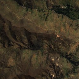
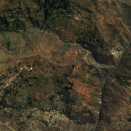
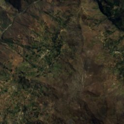
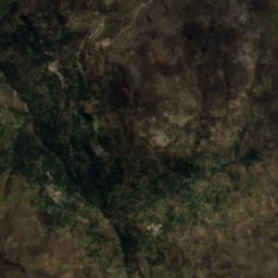
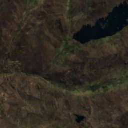
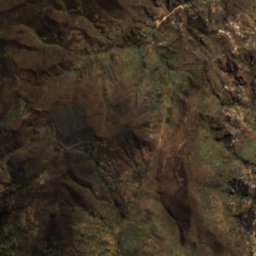
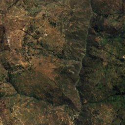
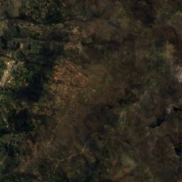
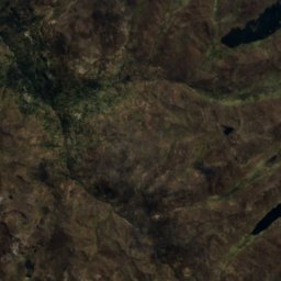
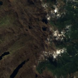
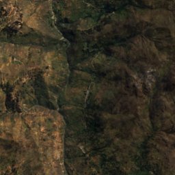
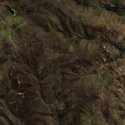
Satellite: Sentinel-2 cloudless 2016 by EOX IT Services GmbH · CC BY 4.0 · Contains modified Copernicus Sentinel data 2016
Wiqruqucha (Huamalíes)
Lake


Mountains
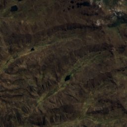
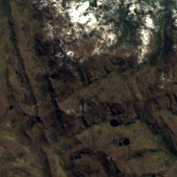
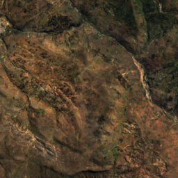
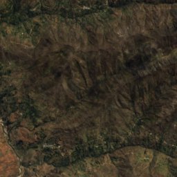
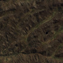
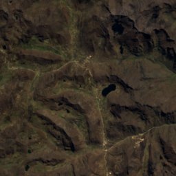
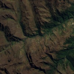
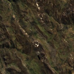
Satellite: Sentinel-2 cloudless 2016 by EOX IT Services GmbH · CC BY 4.0 · Contains modified Copernicus Sentinel data 2016
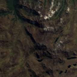
Quriqucha (Huánuco)
4,600 m · Andes
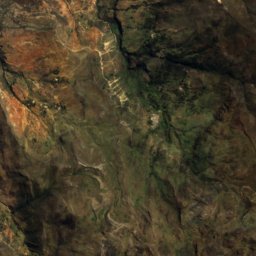
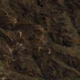
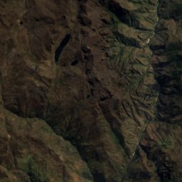
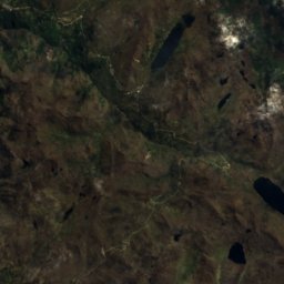
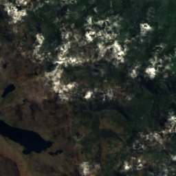
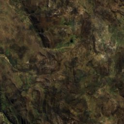
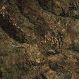
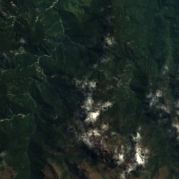
Satellite: Sentinel-2 cloudless 2016 by EOX IT Services GmbH · CC BY 4.0 · Contains modified Copernicus Sentinel data 2016
Segosh
4,575 m · Cordillera Central


