
archaeological sitePucará, Puno
Pucará
cultural heritage of Peru
Typearchaeological site
Built–
Best monthsJul–Sepweather in Pucará
15.05° S, 70.37° WUTC−5 · Peru Standard Time
When to goPucará · weather score
Best timeJul–Sep
October: high / low15° / 3°
iAbout
Pucará in brief
Pucará is an archaeological site in Pucará, Puno, Peru.
It holds the designation cultural heritage of Peru.
For a visit, the weather in Pucará is best in July, August and September; in October afternoons average 15°.
iiLocation
Where to find it
iiiWhen to visit
Climate guideWeather in Pucará
Month score for sightseeing
Best Jul–Sep27
Jan
30
Feb
36
Mar
55
Apr
72
May
75
Jun
77
Jul
80
Aug
77
Sep
63
Oct
59
Nov
34
Dec
Around here
Pucará and around

Photo: Pierre André Leclercq · CC BY-SA 4.0 · Wikimedia CommonsReport this photo · linked, not stored
Pucará
Puno · Peru
Jul–Sepbest months
14°July high
3,878 maltitude
Nature
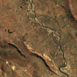
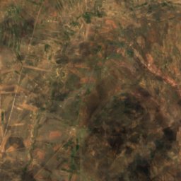
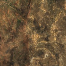
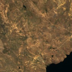
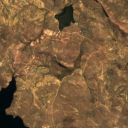
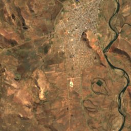
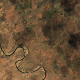
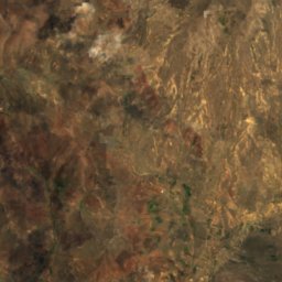
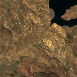
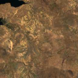
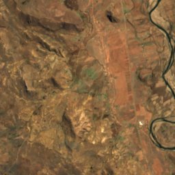
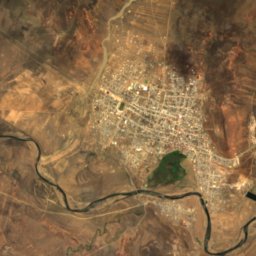
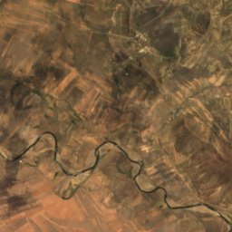
Satellite: Sentinel-2 cloudless 2016 by EOX IT Services GmbH · CC BY 4.0 · Contains modified Copernicus Sentinel data 2016
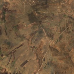
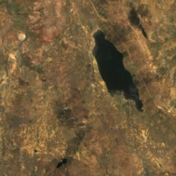
Laguna Quequerana
Lake
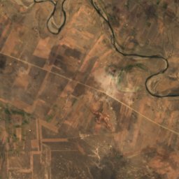
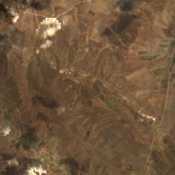
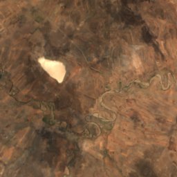
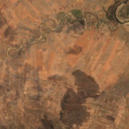
Satellite: Sentinel-2 cloudless 2016 by EOX IT Services GmbH · CC BY 4.0 · Contains modified Copernicus Sentinel data 2016
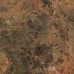
Laguna Yuraccocha, Puno
Lake
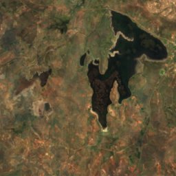
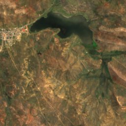
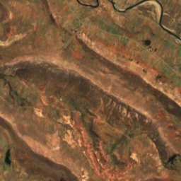
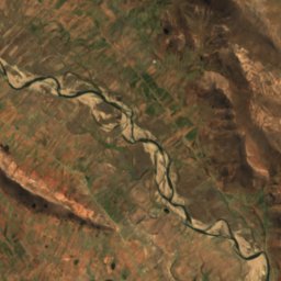
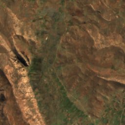
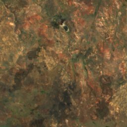
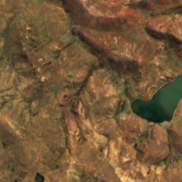
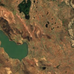
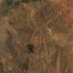
Satellite: Sentinel-2 cloudless 2016 by EOX IT Services GmbH · CC BY 4.0 · Contains modified Copernicus Sentinel data 2016
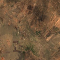
Laguna Jallapicsé
Lake
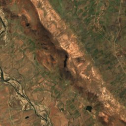
Mountains
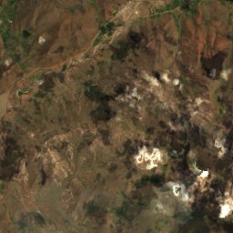
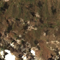
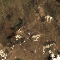
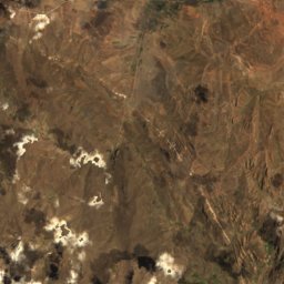
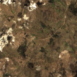
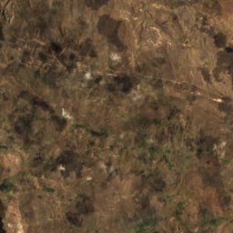
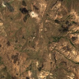
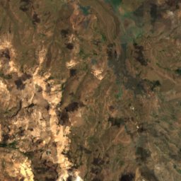
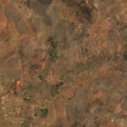
Satellite: Sentinel-2 cloudless 2016 by EOX IT Services GmbH · CC BY 4.0 · Contains modified Copernicus Sentinel data 2016
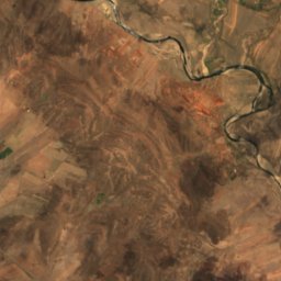
Achucallani
5,000 m · Andes
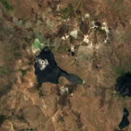
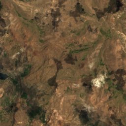
Satellite: Sentinel-2 cloudless 2016 by EOX IT Services GmbH · CC BY 4.0 · Contains modified Copernicus Sentinel data 2016
Ch'ulla Rinri
4,950 m · Andes
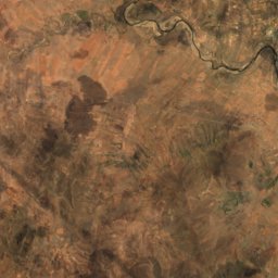
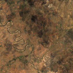
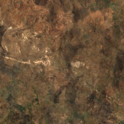
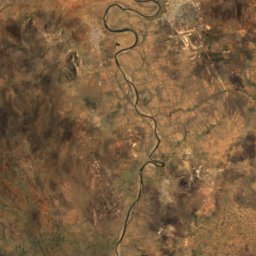
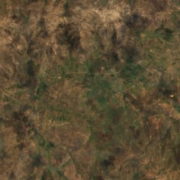
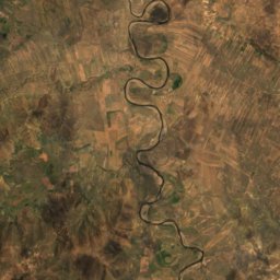
Satellite: Sentinel-2 cloudless 2016 by EOX IT Services GmbH · CC BY 4.0 · Contains modified Copernicus Sentinel data 2016
Qullqi (Puno)
4,916 m · Andes
Museums















Satellite: Sentinel-2 cloudless 2016 by EOX IT Services GmbH · CC BY 4.0 · Contains modified Copernicus Sentinel data 2016
Pukara Lithic Museum
1999