
Photo: Martin St-Amant (S23678) · CC BY-SA 3.0 · Wikimedia Commons
PaucartamboReport this photo · linked, not stored
PaucartamboReport this photo · linked, not stored
cityPaucartambo, Cuzco Department
Paucartambo
cultural heritage of Peru
Typecity
Built–
Best monthsMay · Jul–Augweather in Paucartambo
13.32° S, 71.59° WUTC−5 · Peru Standard Time
When to goPaucartambo · weather score
Best timeMay · Jul–Aug
October: high / low16° / 7°
iAbout
Paucartambo in brief
Paucartambo is a city in Paucartambo, Cuzco Department, Peru.
It holds the designation cultural heritage of Peru.
For a visit, the weather in Paucartambo is best in May, July and August; in October afternoons average 16°.
Facts
- Type
- city
- Designation
- cultural heritage of Peru
- Nearest town
- Paucartambo
- Region
- Cuzco Department
- Coordinates
- -13.31556, -71.59167
iiLocation
Where to find it
iiiWhen to visit
Climate guideWeather in Paucartambo
Month score for sightseeing
Best May · Jul–Aug35
Jan
35
Feb
37
Mar
45
Apr
64
May
64
Jun
67
Jul
73
Aug
64
Sep
49
Oct
39
Nov
37
Dec
Around here
Paucartambo and around

Photo: Martin St-Amant (S23678) · CC BY-SA 3.0 · Wikimedia CommonsReport this photo · linked, not stored
Paucartambo
Cuzco Department · Peru
May · Jul–Augbest months
14°July high
3,050 maltitude
Nature
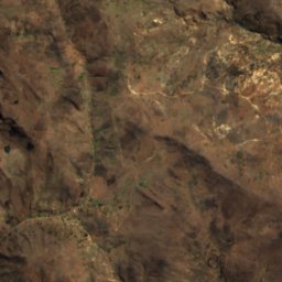
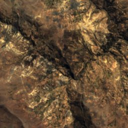
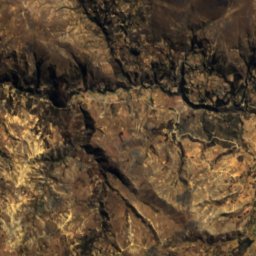
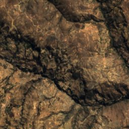
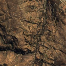
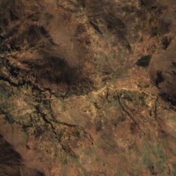
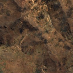
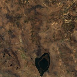
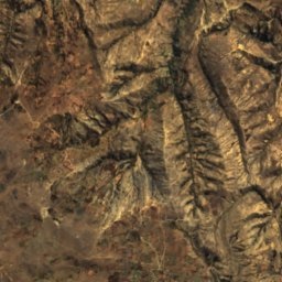
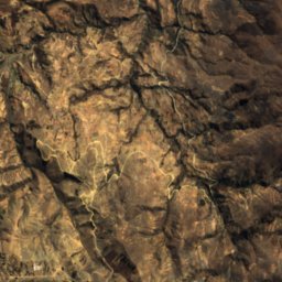
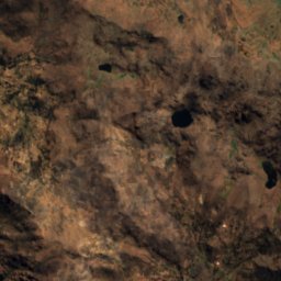
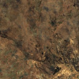
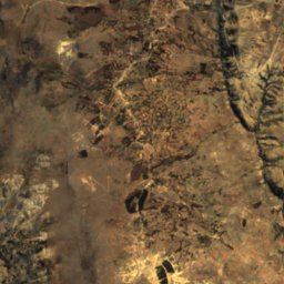
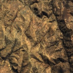
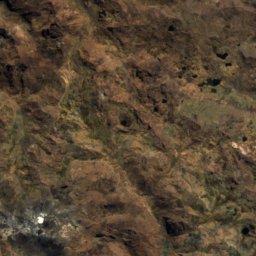
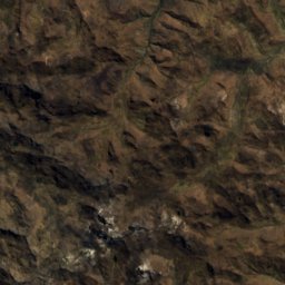
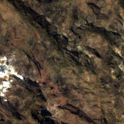
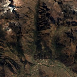
Satellite: Sentinel-2 cloudless 2016 by EOX IT Services GmbH · CC BY 4.0 · Contains modified Copernicus Sentinel data 2016
Laguna Quescay
Lake
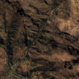
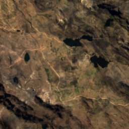
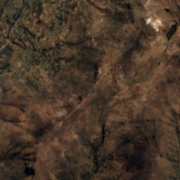
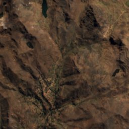
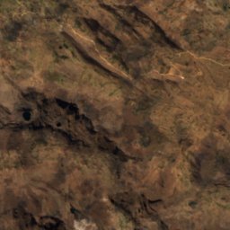
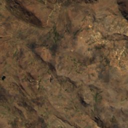
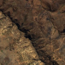
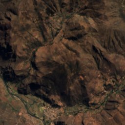
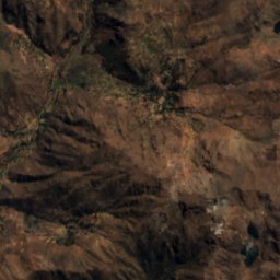
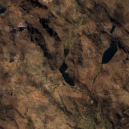
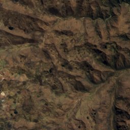
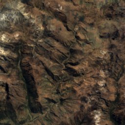
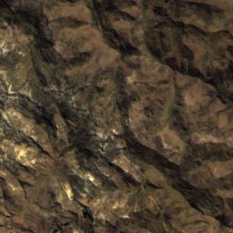
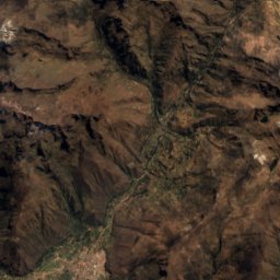
Satellite: Sentinel-2 cloudless 2016 by EOX IT Services GmbH · CC BY 4.0 · Contains modified Copernicus Sentinel data 2016
Laguna Azul Cocha, Cuzco Department
Lake
Mountains


Photo: McKay Savage from London, UK · CC BY 2.0 · Wikimedia CommonsReport this photo · linked, not stored
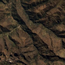
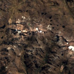
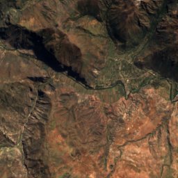
Chulluncunayoc
4,800 m · Andes
Museums

















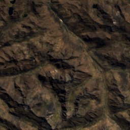
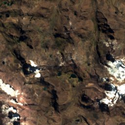
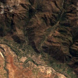
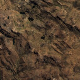
Satellite: Sentinel-2 cloudless 2016 by EOX IT Services GmbH · CC BY 4.0 · Contains modified Copernicus Sentinel data 2016
Museo de los Pueblos de Paucartambo
2013