
Photo: Draceane · CC BY-SA 4.0 · Wikimedia Commons
Machu PicchuReport this photo · linked, not stored
Machu PicchuReport this photo · linked, not stored
 Wiñay Wayna
World Heritage SiteAguas Calientes, Cuzco Department
Machu Picchu
cultural heritage of PeruHistoric Civil Engineering LandmarkBuilt 1450
TypeWorld Heritage Site
Built1450
Best monthsJun–Augweather in Aguas Calientes
13.16° S, 72.55° WUTC−5 · Peru Standard Time
Standing for576 years
built 1450today 2026
When to goAguas Calientes · weather score
Best timeJun–Aug
October: high / low20° / 11°
iAbout
Machu Picchu in brief
Machu Picchu is a world heritage site in Aguas Calientes, Cuzco Department, Peru.
It holds the designations cultural heritage of Peru and Historic Civil Engineering Landmark.
The world heritage site dates from 1450.
For a visit, the weather in Aguas Calientes is best in June, July and August; in October afternoons average 20°.
Facts
- Type
- World Heritage Site
- Designation
- cultural heritage of Peru
- Historic Civil Engineering Landmark
- Built
- 1450
- Nearest town
- Aguas Calientes
- Region
- Cuzco Department
- Coordinates
- -13.16333, -72.54556
iiLocation
Where to find it
iiiWhen to visit
Climate guideWeather in Aguas Calientes
Month score for sightseeing
Best Jun–Aug47
Jan
48
Feb
48
Mar
70
Apr
85
May
88
Jun
93
Jul
93
Aug
85
Sep
68
Oct
54
Nov
47
Dec
ivNearby
All monuments in PeruMore heritage close by
Around here
Aguas Calientes and around

Nature

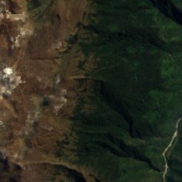
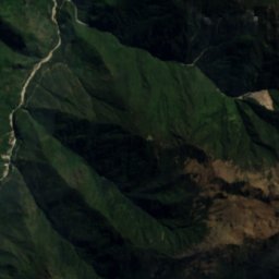
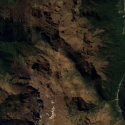
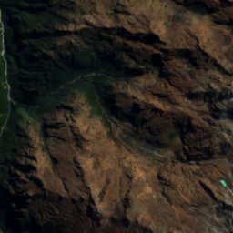
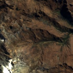
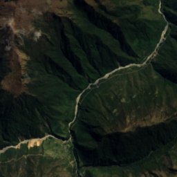
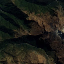
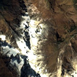
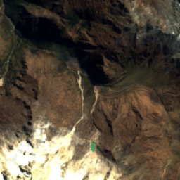
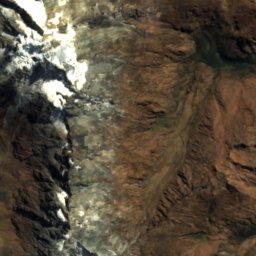
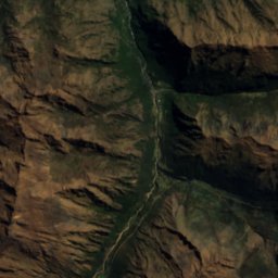
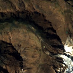
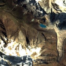
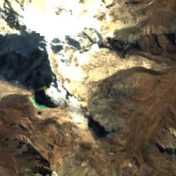
Satellite: Sentinel-2 cloudless 2016 by EOX IT Services GmbH · CC BY 4.0 · Contains modified Copernicus Sentinel data 2016
Nevado Salcantay
Glacier
Satellite: Sentinel-2 cloudless 2016 by EOX IT Services GmbH · CC BY 4.0 · Contains modified Copernicus Sentinel data 2016
Salcantay East Glacier
Glacier
Mountains


Photo: McKay Savage from London, UK · CC BY 2.0 · Wikimedia CommonsReport this photo · linked, not stored
Pumasillo
5,991 m · Vilcabamba mountain range
Heritage











Satellite: Sentinel-2 cloudless 2016 by EOX IT Services GmbH · CC BY 4.0 · Contains modified Copernicus Sentinel data 2016
Historic Sanctuary of Machu Picchu
World Heritage Site · 1981
Museums








Satellite: Sentinel-2 cloudless 2016 by EOX IT Services GmbH · CC BY 4.0 · Contains modified Copernicus Sentinel data 2016