
Photo: Semillaymuerte · CC BY-SA 4.0 · Wikimedia Commons
ChupaniReport this photo · linked, not stored
ChupaniReport this photo · linked, not stored
archaeological siteUrubamba, Cuzco Department
Chupani
cultural heritage of Peru
Typearchaeological site
Built–
Best monthsMay · Jul–Augweather in Urubamba
13.26° S, 72.13° WUTC−5 · Peru Standard Time
When to goUrubamba · weather score
Best timeMay · Jul–Aug
October: high / low17° / 9°
iAbout
Chupani in brief
Chupani is an archaeological site in Urubamba, Cuzco Department, Peru.
It holds the designation cultural heritage of Peru.
For a visit, the weather in Urubamba is best in May, July and August; in October afternoons average 17°.
Facts
- Type
- archaeological site
- Designation
- cultural heritage of Peru
- Nearest town
- Urubamba
- Region
- Cuzco Department
- Coordinates
- -13.26151, -72.12582
iiLocation
Where to find it
iiiWhen to visit
Climate guideWeather in Urubamba
Month score for sightseeing
Best May · Jul–Aug44
Jan
47
Feb
46
Mar
67
Apr
85
May
82
Jun
88
Jul
91
Aug
85
Sep
72
Oct
51
Nov
47
Dec
Around here
Urubamba and around

Photo: Kilcaff at the English Wikipedia · CC BY-SA 3.0 · Wikimedia CommonsReport this photo · linked, not stored
Urubamba
Cuzco Department · Peru
May · Jul–Augbest months
16°July high
2,875 maltitude
Nature
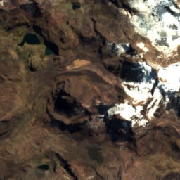
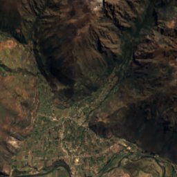
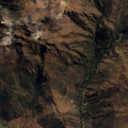
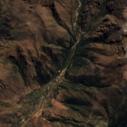
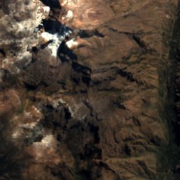
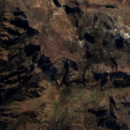
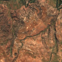
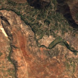
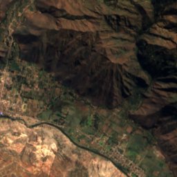
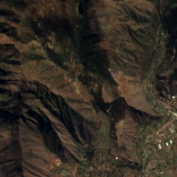
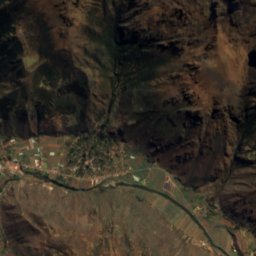
Satellite: Sentinel-2 cloudless 2016 by EOX IT Services GmbH · CC BY 4.0 · Contains modified Copernicus Sentinel data 2016
Kellococha
Lake
Satellite: Sentinel-2 cloudless 2016 by EOX IT Services GmbH · CC BY 4.0 · Contains modified Copernicus Sentinel data 2016
Yanacocha (Cusco)
Lake

Photo: Reyna Stephany Aráoz Castillo · CC BY-SA 4.0 · Wikimedia CommonsReport this photo · linked, not stored
Laguna Huaypo
Lake · 4 m
Mountains
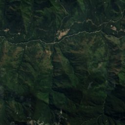
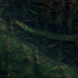
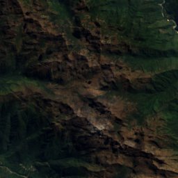
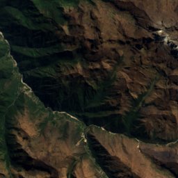
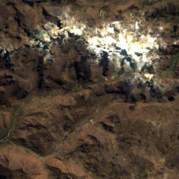
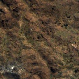
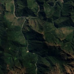
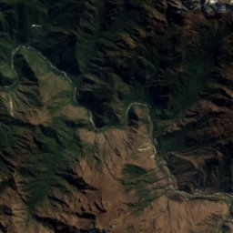
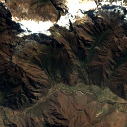
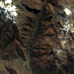
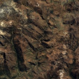
Satellite: Sentinel-2 cloudless 2016 by EOX IT Services GmbH · CC BY 4.0 · Contains modified Copernicus Sentinel data 2016
Veronica Mountain
5,893 m · Urubamba mountain range

Photo: McKay Savage from London, UK · CC BY 2.0 · Wikimedia CommonsReport this photo · linked, not stored
Sahuasiray
5,818 m · Urubamba mountain range

Photo: McKay Savage from London, UK · CC BY 2.0 · Wikimedia CommonsReport this photo · linked, not stored
Chicon
5,530 m · Andes
Heritage


Museums

Photo: PIERRE ANDRE LECLERCQ · CC BY-SA 4.0 · Wikimedia CommonsReport this photo · linked, not stored
Museo de Sitio de Chinchero








Satellite: Sentinel-2 cloudless 2016 by EOX IT Services GmbH · CC BY 4.0 · Contains modified Copernicus Sentinel data 2016
Inkariy Museum
2002