

Photo: F igy · Public domain · Wikimedia Commons
Bat, Al-Khutm and Al-Ayn archaeological sitesReport this photo · linked, not stored
Bat, Al-Khutm and Al-Ayn archaeological sitesBat, Al-Khutm and Al-Ayn archaeological sitesReport this photo · linked, not stored
archaeological siteIbri, Ad Dhahirah
Bat
part of UNESCO World Heritage Site
Typearchaeological site
Built–
Best monthsJan–Feb · Decweather in Ibri
23.27° N, 56.74° EUTC+4 · Gulf Standard Time
When to goIbri · weather score
Best timeJan–Feb · Dec
October: high / low36° / 23°
iAbout
Bat in brief
Bat is an archaeological site in Ibri, Ad Dhahirah, Oman. Archaeological site.
It holds the designation part of UNESCO World Heritage Site.
For a visit, the weather in Ibri is best in January, February and December; in October afternoons average 36°.
Facts
- Type
- archaeological site
- Designation
- part of UNESCO World Heritage Site
- Nearest town
- Ibri
- Region
- Ad Dhahirah
- Coordinates
- 23.26990, 56.74500
iiLocation
Where to find it
ivNearby
All monuments in OmanMore heritage close by
Bat, Al-Khutm and Al-Ayn archaeological sites
under 100 m N
World Heritage Site
Around here
Ibri and around

Photo: https://www.flickr.com/photos/brianharringtonspier/ · CC BY-SA 2.0 · Wikimedia CommonsReport this photo · linked, not stored
Ibri
Ad Dhahirah · Oman
Jan–Feb · Decbest months
43°July high
359 maltitude
Nature

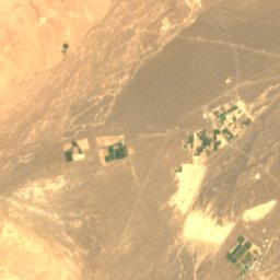
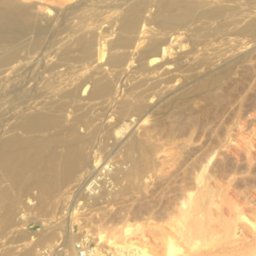
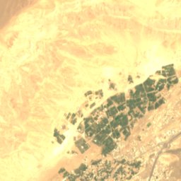
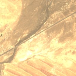
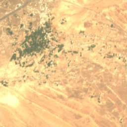
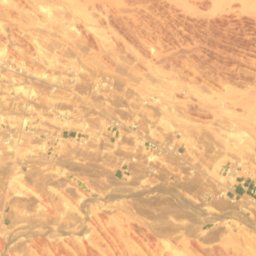
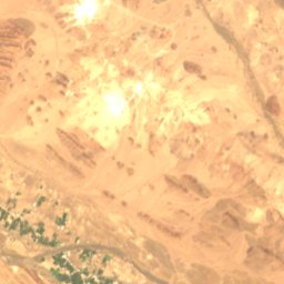
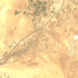
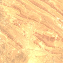
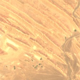
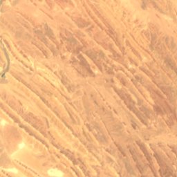
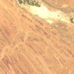
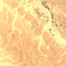
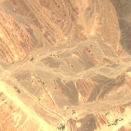
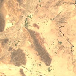
Satellite: Sentinel-2 cloudless 2016 by EOX IT Services GmbH · CC BY 4.0 · Contains modified Copernicus Sentinel data 2016
Wadi Al Hijar
River
Mountains
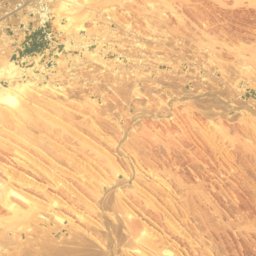
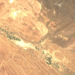
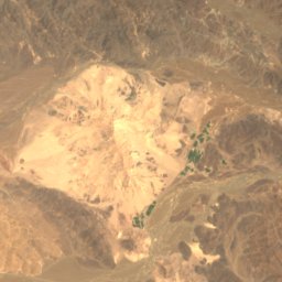
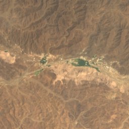
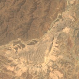
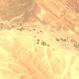
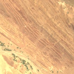
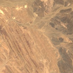
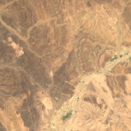
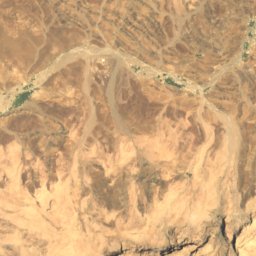

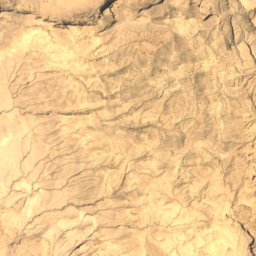


Satellite: Sentinel-2 cloudless 2016 by EOX IT Services GmbH · CC BY 4.0 · Contains modified Copernicus Sentinel data 2016
Jabal Sumarrah
846 m