

Photo: Ximonic (Simo Räsänen) · CC BY-SA 4.0 · Wikimedia Commons
Sildpollnes ChurchReport this photo · linked, not stored
Sildpollnes ChurchSildpollnes ChurchReport this photo · linked, not stored
island groupStraumnes, Nordland
Lofoten
Tentative World Heritage Site
Typeisland group
Built–
Best monthsJun–Augweather in Straumnes
68.33° N, 14.67° EUTC+2 · Central European Summer Time
When to goStraumnes · weather score
Best timeJun–Aug
October: high / low8° / 5°
iAbout
Lofoten in brief
Lofoten is an island group in Straumnes, Nordland, Norway.
It holds the designation Tentative World Heritage Site.
For a visit, the weather in Straumnes is best in June, July and August; in October afternoons average 8°.
iiLocation
Where to find it
iiiWhen to visit
Climate guideWeather in Straumnes
Month score for sightseeing
Best Jun–Aug15
Jan
16
Feb
18
Mar
19
Apr
20
May
31
Jun
45
Jul
44
Aug
28
Sep
17
Oct
17
Nov
16
Dec
ivNearby
All monuments in NorwayMore heritage close by
Photo: Ximonic (Simo Räsänen) · CC BY-SA 4.0 · Wikimedia CommonsReport this photo · linked, not stored
Sildpollnes Church
2.5 km SE
cultural heritage preservation in Norway
Around here
Straumnes and around

Nature
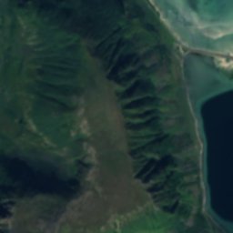
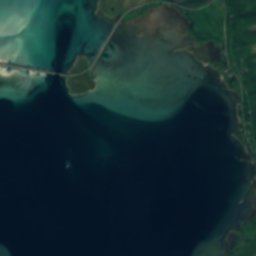
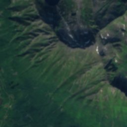
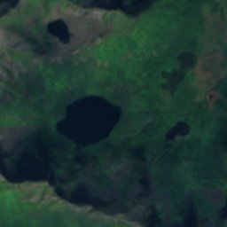
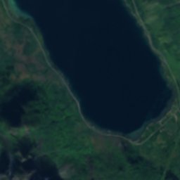
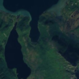
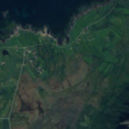
Satellite: Sentinel-2 cloudless 2016 by EOX IT Services GmbH · CC BY 4.0 · Contains modified Copernicus Sentinel data 2016
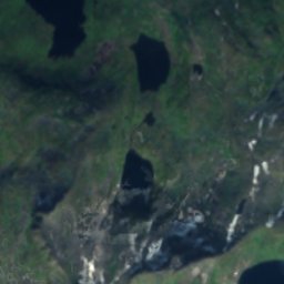
Storvatnet, Straumnes
Lake · 16 m
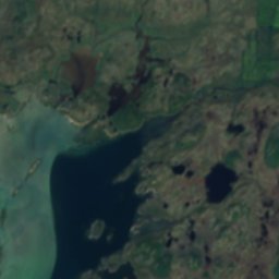
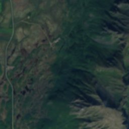
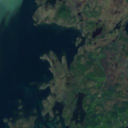
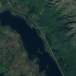
Satellite: Sentinel-2 cloudless 2016 by EOX IT Services GmbH · CC BY 4.0 · Contains modified Copernicus Sentinel data 2016
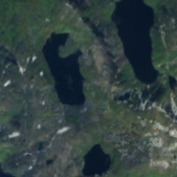
Heimrevatnet
Lake · 7 m


Satellite: Sentinel-2 cloudless 2016 by EOX IT Services GmbH · CC BY 4.0 · Contains modified Copernicus Sentinel data 2016
Strumpvatnet
Lake · 256 m
Mountains

Photo: Kirsti Julie Kristiansen · CC BY-SA 3.0 · Wikimedia CommonsReport this photo · linked, not stored

Higravstinden
1,138 m · Scandinavian Mountains

Photo: Ximonic (Simo Räsänen) · CC BY-SA 4.0 · Wikimedia CommonsReport this photo · linked, not stored

Rulten
1,058 m

Photo: Ximonic (Simo Räsänen) · CC BY-SA 4.0 · Wikimedia CommonsReport this photo · linked, not stored

Litlkorsnestinden
980 m
Heritage

Photo: Kristian Magnus Kanstad · Public domain · Wikimedia CommonsReport this photo · linked, not stored

Strandlandet Church
cultural heritage preservation in Norway · 1938


Gimsøy Church, Gimsøysand
cultural heritage preservation in Norway · 1876
Photo: Ximonic (Simo Räsänen) · CC BY-SA 4.0 · Wikimedia CommonsReport this photo · linked, not stored
Sildpollnes Church
cultural heritage preservation in Norway · 1891