
Photo: Frokor · CC BY-SA 3.0 · Wikimedia Commons
Hellisøy LighthouseReport this photo · linked, not stored
Hellisøy LighthouseReport this photo · linked, not stored

Photo: Espen Faugstad · CC BY 3.0 · Wikimedia Commons
Fedje ChurchReport this photo · linked, not stored
Fedje ChurchFedje ChurchReport this photo · linked, not stored
lighthouseFedje, Vestland
Hellisøy Lighthouse
cultural propertyBuilt 1855
Typelighthouse
Built1855
Best monthsJul–Sepweather in Fedje
60.75° N, 4.71° EUTC+1 · Central European Standard Time
Standing for171 years
built 1855today 2026
When to goFedje · weather score
Best timeJul–Sep
October: high / low12° / 9°
iAbout
Hellisøy Lighthouse in brief
Hellisøy Lighthouse is a lighthouse in Fedje, Vestland, Norway.
It holds the designation cultural property.
The lighthouse dates from 1855.
For a visit, the weather in Fedje is best in July, August and September; in October afternoons average 12°.
iiLocation
Where to find it
iiiWhen to visit
Climate guideWeather in Fedje
Month score for sightseeing
Best Jul–Sep15
Jan
15
Feb
16
Mar
22
Apr
26
May
40
Jun
51
Jul
55
Aug
44
Sep
27
Oct
16
Nov
16
Dec
ivNearby
All monuments in NorwayMore heritage close by
Around here
Fedje and around

Nature
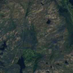
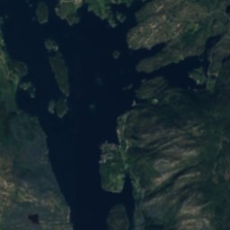
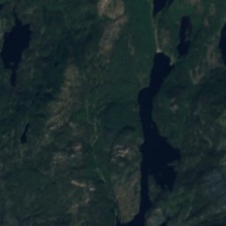
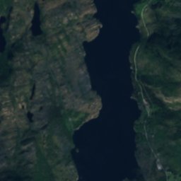
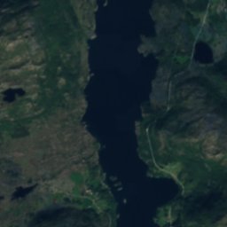
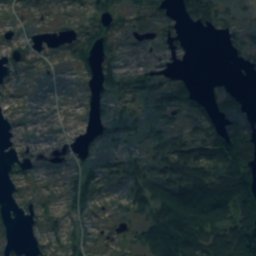
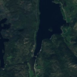
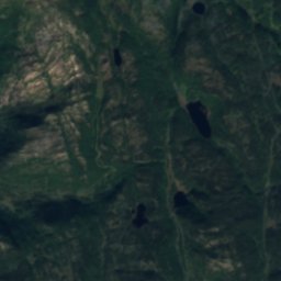
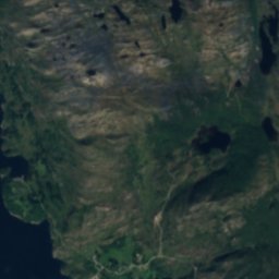
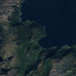
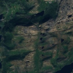
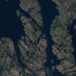
Satellite: Sentinel-2 cloudless 2016 by EOX IT Services GmbH · CC BY 4.0 · Contains modified Copernicus Sentinel data 2016
Langevatnet, Dalsøyra
Lake · 8 m
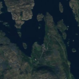
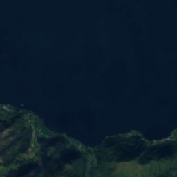
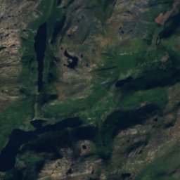
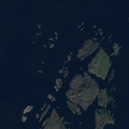
Satellite: Sentinel-2 cloudless 2016 by EOX IT Services GmbH · CC BY 4.0 · Contains modified Copernicus Sentinel data 2016
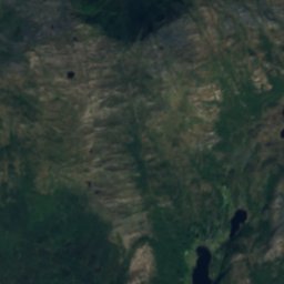
Svardalsvatnet
Lake · 20 m
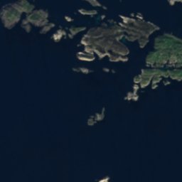
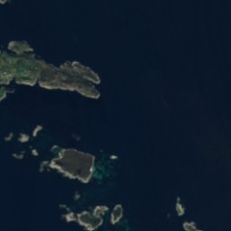

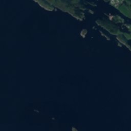
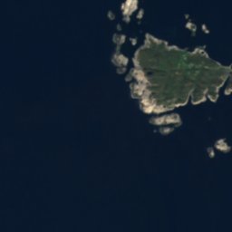
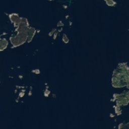
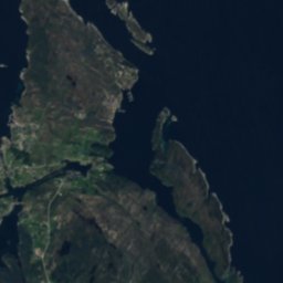

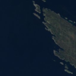
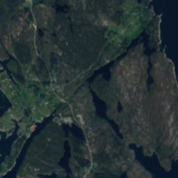

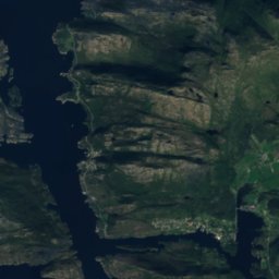
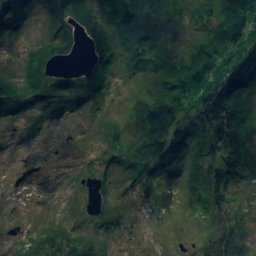
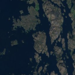
Satellite: Sentinel-2 cloudless 2016 by EOX IT Services GmbH · CC BY 4.0 · Contains modified Copernicus Sentinel data 2016
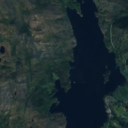
Hjelmevatnet, Haugland
Lake · 10 m
Mountains
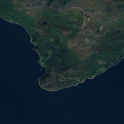
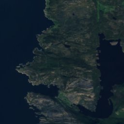
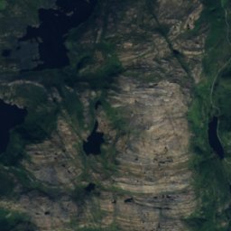
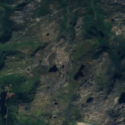
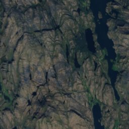
Satellite: Sentinel-2 cloudless 2016 by EOX IT Services GmbH · CC BY 4.0 · Contains modified Copernicus Sentinel data 2016
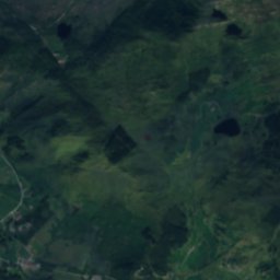
Arnipa
624 m




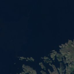



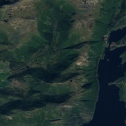
Satellite: Sentinel-2 cloudless 2016 by EOX IT Services GmbH · CC BY 4.0 · Contains modified Copernicus Sentinel data 2016
Vardefjellet
316 m
Heritage


Museums

Photo: Smtunli, Svein-Magne Tunli - http://www.tunliweb.no/SM/English/sm_eng.htm · CC BY-SA 3.0 · Wikimedia CommonsReport this photo · linked, not stored
