






















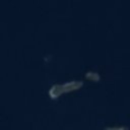








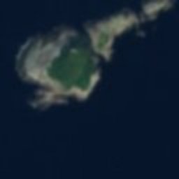




















Satellite: Sentinel-2 cloudless 2016 by EOX IT Services GmbH · CC BY 4.0 · Contains modified Copernicus Sentinel data 2016
lighthouseLangenes, Nordland
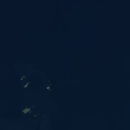
Anda Lighthouse
cultural heritage preservation in NorwayBuilt 1932
Typelighthouse
Built1932
Best monthsJun–Augweather in Langenes
69.07° N, 15.17° EUTC+1 · Central European Standard Time
Standing for94 years
built 1932today 2026
When to goLangenes · weather score
Best timeJun–Aug
October: high / low8° / 4°
iAbout
Anda Lighthouse in brief
Anda Lighthouse is a lighthouse in Langenes, Nordland, Norway.
It holds the designation cultural heritage preservation in Norway.
The lighthouse dates from 1932.
For a visit, the weather in Langenes is best in June, July and August; in October afternoons average 8°.
iiLocation
Where to find it
iiiWhen to visit
Climate guideWeather in Langenes
Month score for sightseeing
Best Jun–Aug15
Jan
16
Feb
18
Mar
18
Apr
19
May
29
Jun
43
Jul
38
Aug
26
Sep
16
Oct
17
Nov
16
Dec
Around here
Langenes and around

Nature
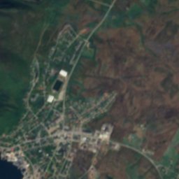
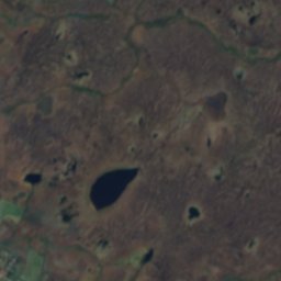
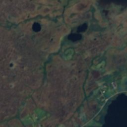
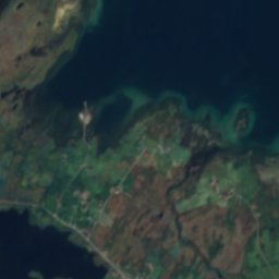
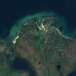
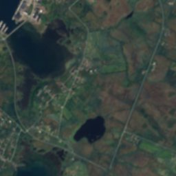
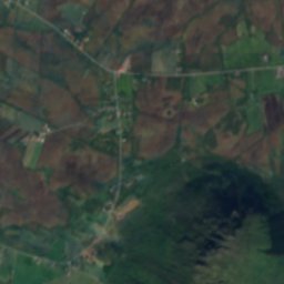
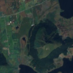
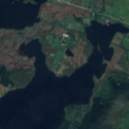
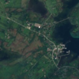
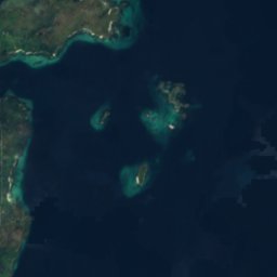
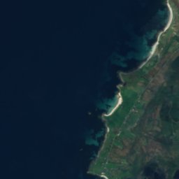
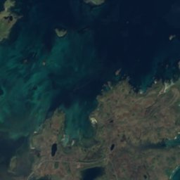
Satellite: Sentinel-2 cloudless 2016 by EOX IT Services GmbH · CC BY 4.0 · Contains modified Copernicus Sentinel data 2016
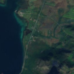
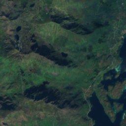
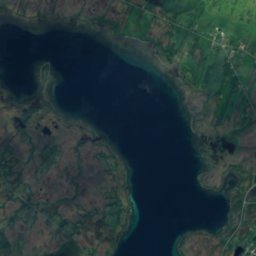
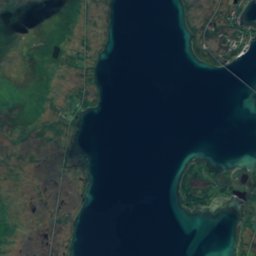
Sørvågvatnet, Alsvåg
Lake · 11 m
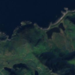
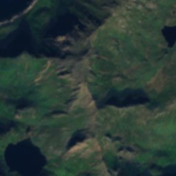

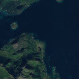
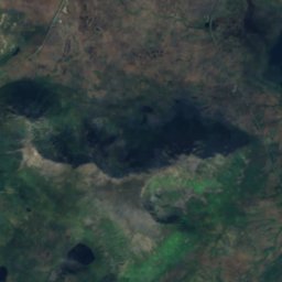
Satellite: Sentinel-2 cloudless 2016 by EOX IT Services GmbH · CC BY 4.0 · Contains modified Copernicus Sentinel data 2016
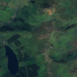
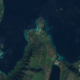
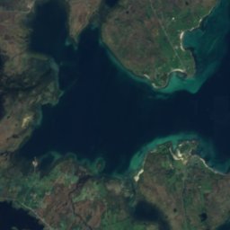
Lakseblikkan
Waterfall
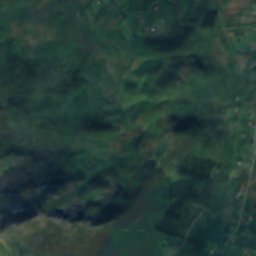
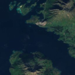
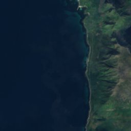
Satellite: Sentinel-2 cloudless 2016 by EOX IT Services GmbH · CC BY 4.0 · Contains modified Copernicus Sentinel data 2016
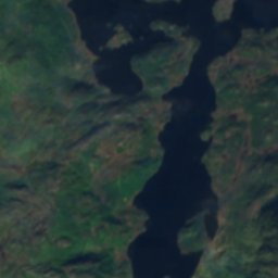
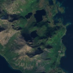
Alsvågvatnet
Lake · 7 m
Mountains
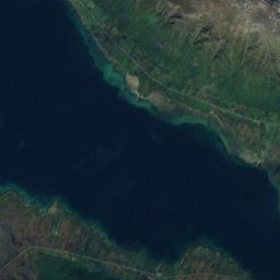
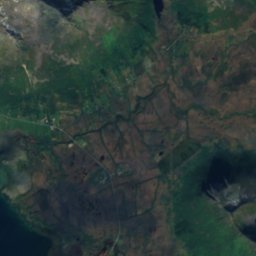
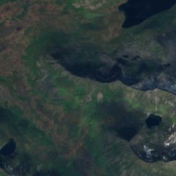
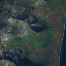
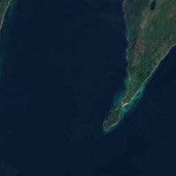
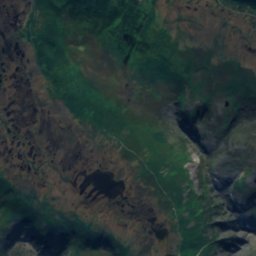
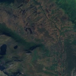
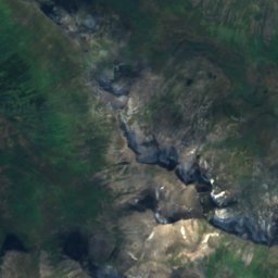
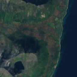
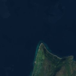
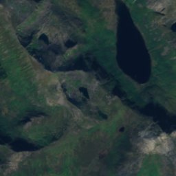
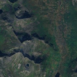
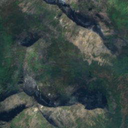
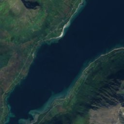
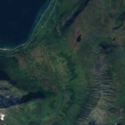
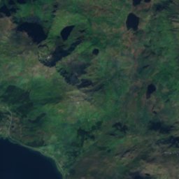
Satellite: Sentinel-2 cloudless 2016 by EOX IT Services GmbH · CC BY 4.0 · Contains modified Copernicus Sentinel data 2016
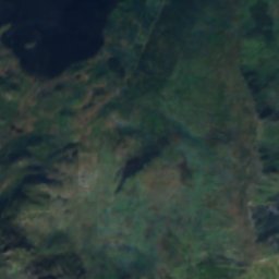
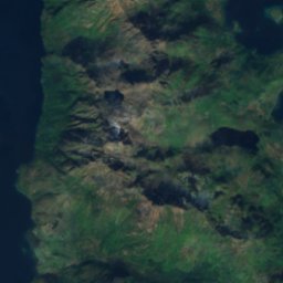
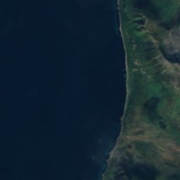
Skardtindan
890 m
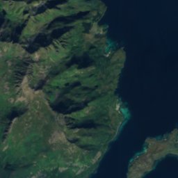
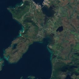
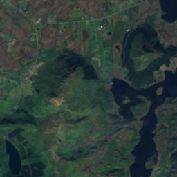
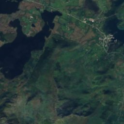
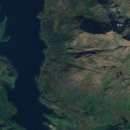
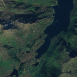
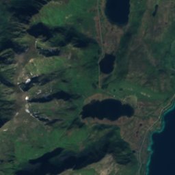
Satellite: Sentinel-2 cloudless 2016 by EOX IT Services GmbH · CC BY 4.0 · Contains modified Copernicus Sentinel data 2016
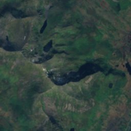
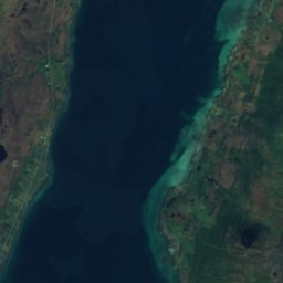
Snøkolla
763 m
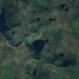
Satellite: Sentinel-2 cloudless 2016 by EOX IT Services GmbH · CC BY 4.0 · Contains modified Copernicus Sentinel data 2016
Kvasstinden
705 m


