Skip to content
Destinations
Weather & climate
Nature
Outdoors
Culture
Events
Sky & live
Pyongyang
Photo: Christophe95 · CC BY-SA 4.0 · Wikimedia Commons
PyongyangReport this photo · linked, not stored
Kaeson Revolutionary Site
Photo: Uwe Brodrecht · CC BY-SA 2.0 · Wikimedia Commons
Kaeson Revolutionary SiteReport this photo · linked, not stored
Kaeson Revolutionary Site
first-level administrative divisionPyongyang, Pyongyang

Pyongyang

Tentative World Heritage Site
Typefirst-level administrative division
Built–
Best monthsApr–May · Octweather in Pyongyang
39.02° N, 125.75° EUTC+9 · Korean Standard Time
When to goPyongyang · weather score
JanFebMarAprMayJunJulAugSepOctNovDec73October
Best timeApr–May · Oct
October: high / low18° / 8°
iAbout

Pyongyang in brief

Pyongyang is a first-level administrative division in Pyongyang, North Korea.

It holds the designation Tentative World Heritage Site.

For a visit, the weather in Pyongyang is best in April, May and October; in October afternoons average 18°.

Pyongyang: weather and travel guide

Facts

Type
first-level administrative division
Designation
Tentative World Heritage Site
Nearest town
Pyongyang
Region
Pyongyang
Coordinates
39.01667, 125.74750
iiLocation

Where to find it

iiiWhen to visit

Weather in Pyongyang

Climate guide

Month score for sightseeing

Best Apr–May · Oct
ivNearby

More heritage close by

All monuments in North Korea
Kaeson Revolutionary Site
Photo: Uwe Brodrecht · CC BY-SA 2.0 · Wikimedia CommonsReport this photo · linked, not stored

Kaeson Revolutionary Site

3.3 km N
Revolutionary Site
Kaeson Revolutionary Site
Around here

Pyongyang and around

Pyongyang
Photo: Christophe95 · CC BY-SA 4.0 · Wikimedia CommonsReport this photo · linked, not stored

Pyongyang

Pyongyang · North Korea
Apr–May · Octbest months
28°July high
43 maltitude
Pyongyang

Nature

Potong River
Photo: Cnes - Spot Image · CC BY-SA 3.0 · Wikimedia CommonsReport this photo · linked, not stored
5.8 km SW

Potong River

River · 12 m
Potong River
Pothonggang Canal
Photo: Christophe95 · CC BY-SA 4.0 · Wikimedia CommonsReport this photo · linked, not stored
2.7 km SW

Pothonggang Canal

River
Pothonggang Canal
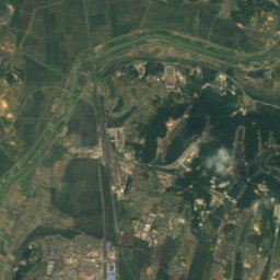
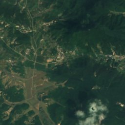
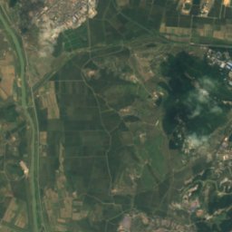
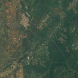
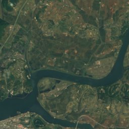
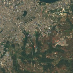
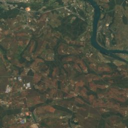
Satellite: Sentinel-2 cloudless 2016 by EOX IT Services GmbH · CC BY 4.0 · Contains modified Copernicus Sentinel data 2016
8.6 km NE

lake Michon

Lake
lake Michon

Mountains

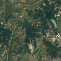
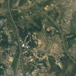
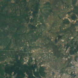
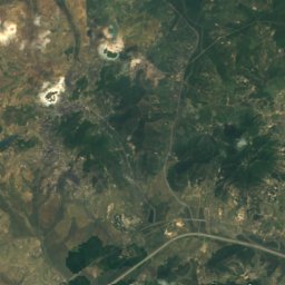
Satellite: Sentinel-2 cloudless 2016 by EOX IT Services GmbH · CC BY 4.0 · Contains modified Copernicus Sentinel data 2016
0.8 km NE

Kŭmsu-san

96 m
Kŭmsu-san

Heritage

Kaeson Revolutionary Site
Photo: Uwe Brodrecht · CC BY-SA 2.0 · Wikimedia CommonsReport this photo · linked, not stored
1.3 km N

Kaeson Revolutionary Site

Revolutionary Site
Kaeson Revolutionary Site
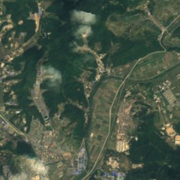
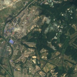
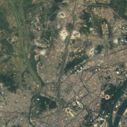
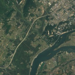
Satellite: Sentinel-2 cloudless 2016 by EOX IT Services GmbH · CC BY 4.0 · Contains modified Copernicus Sentinel data 2016
4.4 km N

Changsan Revolutionary Site

Revolutionary Site
Changsan Revolutionary Site
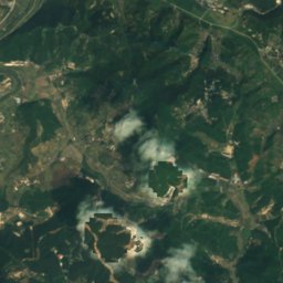
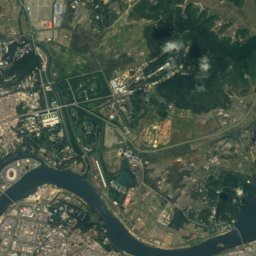
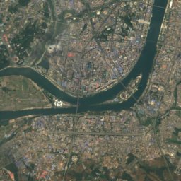
Satellite: Sentinel-2 cloudless 2016 by EOX IT Services GmbH · CC BY 4.0 · Contains modified Copernicus Sentinel data 2016
8.8 km NE

Taesong Fortress

National Treasures of North Korea
Taesong Fortress

Museums

Korean Revolution Museum
Photo: David Stanley · CC BY 3.0 · Wikimedia CommonsReport this photo · linked, not stored
0.3 km SW

Korean Revolution Museum

1948
Korean Revolution Museum
Korean Central History Museum
Photo: Mark Fahey · CC BY 2.0 · Wikimedia CommonsReport this photo · linked, not stored
1.5 km S

Korean Central History Museum

1945
Korean Central History Museum
Victorious Fatherland Liberation War Museum
Photo: Laika ac from USA · CC BY-SA 2.0 · Wikimedia CommonsReport this photo · linked, not stored
1.7 km NW

Victorious Fatherland Liberation War Museum

1953
Victorious Fatherland Liberation War Museum