

Photo: Gouwenaar · Public domain · Wikimedia Commons
Jacobskerk (Roderwolde)Report this photo · linked, not stored
Jacobskerk (Roderwolde)Jacobskerk (Roderwolde)Report this photo · linked, not stored

Photo: Silver Spoon · CC BY-SA 3.0 · Wikimedia Commons
Paiser MeulReport this photo · linked, not stored
Paiser MeulPaiser MeulReport this photo · linked, not stored

Photo: Wutsje / Wikimedia Commons · CC BY-SA 3.0 · Wikimedia Commons
Raadhuis (Peize)Report this photo · linked, not stored
Raadhuis (Peize)Raadhuis (Peize)Report this photo · linked, not stored

Photo: Rijksdienst voor het Cultureel Erfgoed · CC BY-SA 4.0 · Wikimedia Commons
Kerk van Oostwold (Westerkwartier)Report this photo · linked, not stored
Kerk van Oostwold (Westerkwartier)Kerk van Oostwold (Westerkwartier)Report this photo · linked, not stored
stellingmillRoderwolde, Drenthe
Woldzigt
Rijksmonument
Typestellingmill
Built–
Best monthsMay–Julweather in Roderwolde
53.17° N, 6.47° EUTC+1 · Central European Standard Time
When to goRoderwolde · weather score
Best timeMay–Jul
October: high / low14° / 7°
iAbout
Woldzigt in brief
Woldzigt is a stellingmill in Roderwolde, Drenthe, Netherlands.
It holds the designation Rijksmonument.
For a visit, the weather in Roderwolde is best in May, June and July; in October afternoons average 14°.
Facts
- Type
- stellingmill
- Designation
- Rijksmonument
- Nearest town
- Roderwolde
- Region
- Drenthe
- Coordinates
- 53.16889, 6.47389
iiLocation
Where to find it
iiiWhen to visit
Climate guideWeather in Roderwolde
Month score for sightseeing
Best May–Jul15
Jan
20
Feb
23
Mar
53
Apr
68
May
65
Jun
64
Jul
64
Aug
63
Sep
40
Oct
16
Nov
15
Dec
ivNearby
All monuments in the NetherlandsMore heritage close by
Photo: Wutsje / Wikimedia Commons · CC BY-SA 3.0 · Wikimedia CommonsReport this photo · linked, not stored
Raadhuis (Peize)
2.6 km SE
Rijksmonument
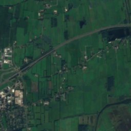
Satellite: Sentinel-2 cloudless 2016 by EOX IT Services GmbH · CC BY 4.0 · Contains modified Copernicus Sentinel data 2016
Brinkweg 2
2.7 km SE
Rijksmonument
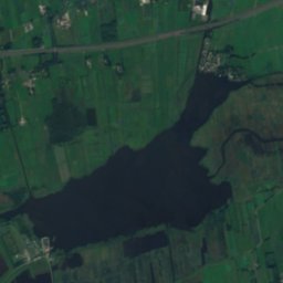
Satellite: Sentinel-2 cloudless 2016 by EOX IT Services GmbH · CC BY 4.0 · Contains modified Copernicus Sentinel data 2016
Leekstermeergebied
2.9 km NW
Ramsar site
Photo: Rijksdienst voor het Cultureel Erfgoed · CC BY-SA 4.0 · Wikimedia CommonsReport this photo · linked, not stored
Kerk van Oostwold (Westerkwartier)
4.3 km NW
Rijksmonument
Around here
Roderwolde and around

Nature

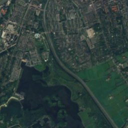
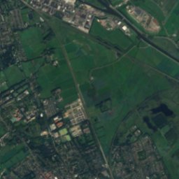
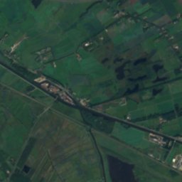
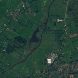
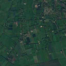
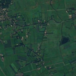
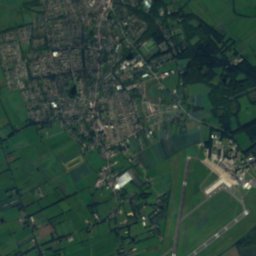
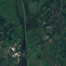
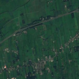
Satellite: Sentinel-2 cloudless 2016 by EOX IT Services GmbH · CC BY 4.0 · Contains modified Copernicus Sentinel data 2016
Drentsche Aa
River
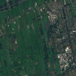
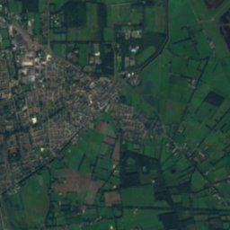
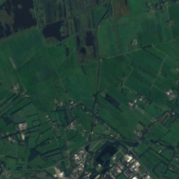
Satellite: Sentinel-2 cloudless 2016 by EOX IT Services GmbH · CC BY 4.0 · Contains modified Copernicus Sentinel data 2016
Shell grotto in Nienoord
Cave
Heritage
Photo: Wutsje / Wikimedia Commons · CC BY-SA 3.0 · Wikimedia CommonsReport this photo · linked, not stored
Raadhuis (Peize)
Rijksmonument
Museums
Satellite: Sentinel-2 cloudless 2016 by EOX IT Services GmbH · CC BY 4.0 · Contains modified Copernicus Sentinel data 2016
Nederlands Graanmuseum


Satellite: Sentinel-2 cloudless 2016 by EOX IT Services GmbH · CC BY 4.0 · Contains modified Copernicus Sentinel data 2016
Groninger Museum
1874

Photo: Fruggo at nl.wikipedia · CC BY 1.0 nl · Wikimedia CommonsReport this photo · linked, not stored

Nederlands Stripmuseum
2004