
Photo: Quistnix at nl.wikipedia · CC BY-SA 2.5 · Wikimedia Commons
WindvangReport this photo · linked, not stored
WindvangReport this photo · linked, not stored
 Toren van Goedereede

Photo: Michiel1972 · CC BY-SA 3.0 · Wikimedia Commons
Town hall of GoedereedeReport this photo · linked, not stored
Town hall of GoedereedeTown hall of GoedereedeReport this photo · linked, not stored

Photo: Yhoitink · CC BY-SA 3.0 nl · Wikimedia Commons
De Gouden Leeuw, GoedereedeReport this photo · linked, not stored
De Gouden Leeuw, GoedereedeDe Gouden Leeuw, GoedereedeReport this photo · linked, not stored

Photo: Thunder106 · CC BY-SA 3.0 nl · Wikimedia Commons
Cichoreifabriek CeresReport this photo · linked, not stored
Cichoreifabriek CeresCichoreifabriek CeresReport this photo · linked, not stored
grondzeilerGoedereede, South Holland
Windvang
RijksmonumentBuilt 1791
Typegrondzeiler
Built1791
Best monthsJun–Jul · Sepweather in Goedereede
51.82° N, 3.97° EUTC+1 · Central European Standard Time
Standing for235 years
built 1791today 2026
When to goGoedereede · weather score
Best timeJun–Jul · Sep
October: high / low15° / 9°
iAbout
Windvang in brief
Windvang is a grondzeiler in Goedereede, South Holland, Netherlands.
It holds the designation Rijksmonument.
The grondzeiler dates from 1791.
For a visit, the weather in Goedereede is best in June, July and September; in October afternoons average 15°.
Facts
- Type
- grondzeiler
- Designation
- Rijksmonument
- Built
- 1791
- Nearest town
- Goedereede
- Region
- South Holland
- Coordinates
- 51.81861, 3.97361
iiLocation
Where to find it
iiiWhen to visit
Climate guideWeather in Goedereede
Month score for sightseeing
Best Jun–Jul · Sep17
Jan
20
Feb
24
Mar
51
Apr
63
May
68
Jun
65
Jul
65
Aug
66
Sep
46
Oct
20
Nov
16
Dec
ivNearby
All monuments in the NetherlandsMore heritage close by
Satellite: Sentinel-2 cloudless 2016 by EOX IT Services GmbH · CC BY 4.0 · Contains modified Copernicus Sentinel data 2016
Catharinakerk, Goedereede
0.2 km E
Rijksmonument

Around here
Goedereede and around
Nature


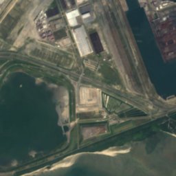
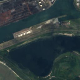
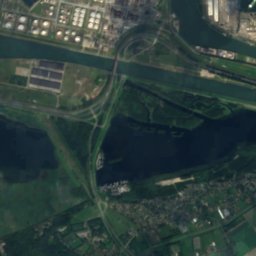


Satellite: Sentinel-2 cloudless 2016 by EOX IT Services GmbH · CC BY 4.0 · Contains modified Copernicus Sentinel data 2016
Brede Water
Lake · 3 m

Heritage
Satellite: Sentinel-2 cloudless 2016 by EOX IT Services GmbH · CC BY 4.0 · Contains modified Copernicus Sentinel data 2016
Toren van Goedereede
Rijksmonument · 1512
Satellite: Sentinel-2 cloudless 2016 by EOX IT Services GmbH · CC BY 4.0 · Contains modified Copernicus Sentinel data 2016
Catharinakerk, Goedereede
Rijksmonument · 1709


