
Photo: Peter van der Wielen · CC BY-SA 3.0 nl · Wikimedia Commons
WarmeloReport this photo · linked, not stored
WarmeloReport this photo · linked, not stored

Photo: Gouwenaar · CC0 · Wikimedia Commons
Johanneskerk, DiepenheimReport this photo · linked, not stored
Johanneskerk, DiepenheimJohanneskerk, DiepenheimReport this photo · linked, not stored

Photo: Gouwenaar · CC0 · Wikimedia Commons
Gemeentehuis, DiepenheimReport this photo · linked, not stored
Gemeentehuis, DiepenheimGemeentehuis, DiepenheimReport this photo · linked, not stored

Photo: Michielverbeek · CC BY-SA 3.0 nl · Wikimedia Commons
Huis DiepenheimReport this photo · linked, not stored
Huis DiepenheimHuis DiepenheimReport this photo · linked, not stored

Photo: Peter van der Wielen · CC BY-SA 3.0 nl · Wikimedia Commons
PeckedamReport this photo · linked, not stored
PeckedamPeckedamReport this photo · linked, not stored
manor estateDiepenheim, Overijssel
Warmelo
Rijksmonument
Typemanor estate
Built–
Best monthsMay–Jun · Sepweather in Diepenheim
52.20° N, 6.55° EUTC+1 · Central European Standard Time
When to goDiepenheim · weather score
Best timeMay–Jun · Sep
October: high / low15° / 7°
iAbout
Warmelo in brief
Warmelo is a manor estate in Diepenheim, Overijssel, Netherlands.
It holds the designation Rijksmonument.
For a visit, the weather in Diepenheim is best in May, June and September; in October afternoons average 15°.
Facts
- Type
- manor estate
- Designation
- Rijksmonument
- Nearest town
- Diepenheim
- Region
- Overijssel
- Coordinates
- 52.19639, 6.54722
iiLocation
Where to find it
iiiWhen to visit
Climate guideWeather in Diepenheim
Month score for sightseeing
Best May–Jun · Sep15
Jan
22
Feb
25
Mar
56
Apr
66
May
66
Jun
64
Jul
64
Aug
66
Sep
44
Oct
15
Nov
14
Dec
ivNearby
All monuments in the NetherlandsMore heritage close by
Photo: Peter van der Wielen · CC BY-SA 3.0 nl · Wikimedia CommonsReport this photo · linked, not stored
Peckedam
1.2 km NE
Rijksmonument

Photo: Rijksdienst voor het Cultureel Erfgoed · CC BY-SA 4.0 · Wikimedia CommonsReport this photo · linked, not stored
Jewish Cemetery (Diepenheim)
1.6 km N
Rijksmonument

Around here
Diepenheim and around
Nature

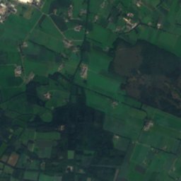
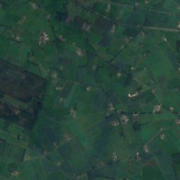
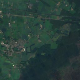
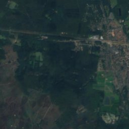
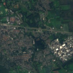
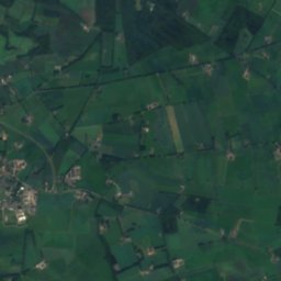
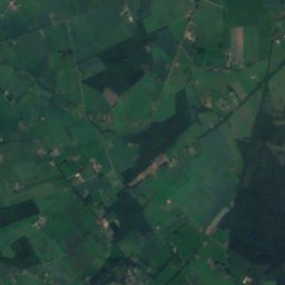
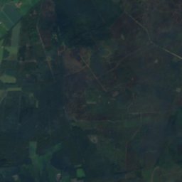

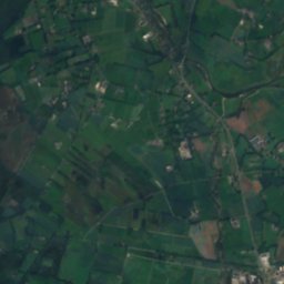
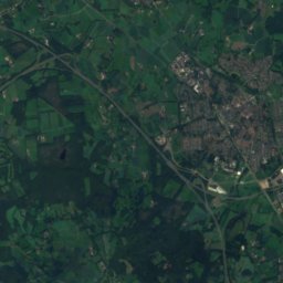
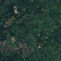
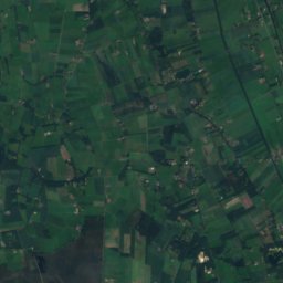
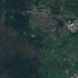
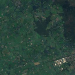
Satellite: Sentinel-2 cloudless 2016 by EOX IT Services GmbH · CC BY 4.0 · Contains modified Copernicus Sentinel data 2016
Sallandse Heuvelrug National Park
National park

Mountains
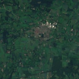
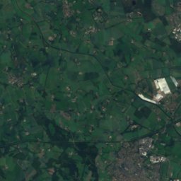
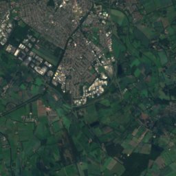
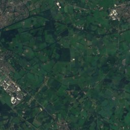
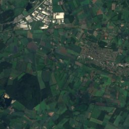
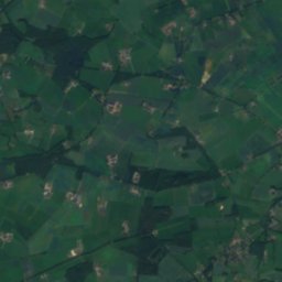
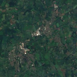
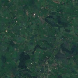
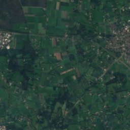
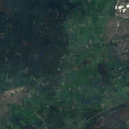
Satellite: Sentinel-2 cloudless 2016 by EOX IT Services GmbH · CC BY 4.0 · Contains modified Copernicus Sentinel data 2016
Paasberg
80 m
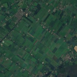
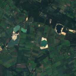
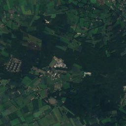
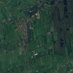
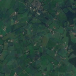
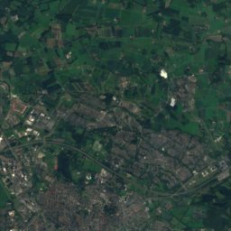
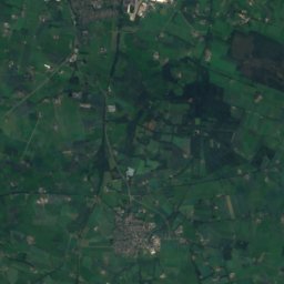
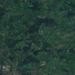
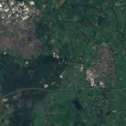
Satellite: Sentinel-2 cloudless 2016 by EOX IT Services GmbH · CC BY 4.0 · Contains modified Copernicus Sentinel data 2016
Braamberg
76 m
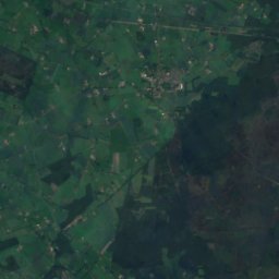
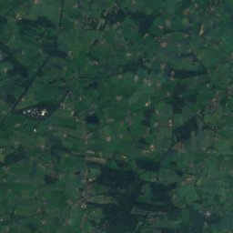
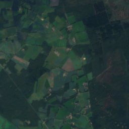
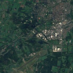
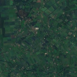
Satellite: Sentinel-2 cloudless 2016 by EOX IT Services GmbH · CC BY 4.0 · Contains modified Copernicus Sentinel data 2016
Holterberg
60 m
Heritage

Museums


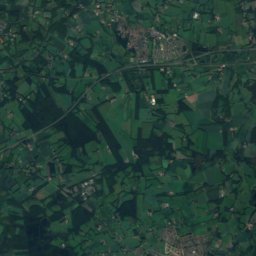
Satellite: Sentinel-2 cloudless 2016 by EOX IT Services GmbH · CC BY 4.0 · Contains modified Copernicus Sentinel data 2016


