Skip to content
Destinations
Weather & climate
Nature
Outdoors
Culture
Events
Sky & live
Matilo
Photo: Bic · CC BY-SA 3.0 · Wikimedia Commons
MatiloReport this photo · linked, not stored
Buitenplaats "Buitenzorg" met tuin, inrijhek met hekpijlers, waarop Lod. XV-bekroningen en twee hoekpaviljoens
Photo: Goodness Shamrock · CC BY 3.0 · Wikimedia Commons
Buitenplaats "Buitenzorg" met tuin, inrijhek met hekpijlers, waarop Lod. XV-bekroningen en twee hoekpaviljoensReport this photo · linked, not stored
Buitenplaats "Buitenzorg" met tuin, inrijhek met hekpijlers, waarop Lod. XV-bekroningen en twee hoekpaviljoens
Rijkskaasmerkenfabriek
Photo: Unknown authorUnknown author · Public domain · Wikimedia Commons
RijkskaasmerkenfabriekReport this photo · linked, not stored
Rijkskaasmerkenfabriek
Onze-Lieve-Vrouw-Onbevlekt-Ontvangenkerk (Zoeterwoude)
Photo: Joris · CC BY-SA 3.0 · Wikimedia Commons
Onze-Lieve-Vrouw-Onbevlekt-Ontvangenkerk (Zoeterwoude)Report this photo · linked, not stored
Onze-Lieve-Vrouw-Onbevlekt-Ontvangenkerk (Zoeterwoude)
water tower, Leiderdorp
Photo: I, Rudolphous · CC BY-SA 3.0 · Wikimedia Commons
water tower, LeiderdorpReport this photo · linked, not stored
water tower, Leiderdorp
Roman military frontiers and fortificationsLeiderdorp, South Holland

Matilo

Rijksmonumentpart of UNESCO World Heritage Site
TypeRoman military frontiers and fortifications
Built–
Best monthsMay–Julweather in Leiderdorp
52.15° N, 4.52° EUTC+1 · Central European Standard Time
When to goLeiderdorp · weather score
JanFebMarAprMayJunJulAugSepOctNovDec43October
Best timeMay–Jul
October: high / low15° / 8°
iAbout

Matilo in brief

Matilo is a roman military frontiers and fortifications in Leiderdorp, South Holland, Netherlands.

It holds the designations Rijksmonument and part of UNESCO World Heritage Site.

For a visit, the weather in Leiderdorp is best in May, June and July; in October afternoons average 15°.

Leiderdorp: weather and travel guide

Facts

Type
Roman military frontiers and fortifications
Designation
Rijksmonument
part of UNESCO World Heritage Site
Nearest town
Leiderdorp
Region
South Holland
Coordinates
52.14971, 4.51841
iiLocation

Where to find it

iiiWhen to visit

Weather in Leiderdorp

Climate guide

Month score for sightseeing

Best May–Jul
ivNearby

More heritage close by

All monuments in the Netherlands
Buitenplaats "Buitenzorg" met tuin, inrijhek met hekpijlers, waarop Lod. XV-bekroningen en twee hoekpaviljoens
Photo: Goodness Shamrock · CC BY 3.0 · Wikimedia CommonsReport this photo · linked, not stored

Buitenplaats "Buitenzorg" met tuin, inrijhek met hekpijlers, waarop Lod. XV-bekroningen en twee hoekpaviljoens

0.3 km E
Rijksmonument
Buitenplaats "Buitenzorg" met tuin, inrijhek met hekpijlers, waarop Lod. XV-bekroningen en twee hoekpaviljoens
Rijkskaasmerkenfabriek
Photo: Unknown authorUnknown author · Public domain · Wikimedia CommonsReport this photo · linked, not stored

Rijkskaasmerkenfabriek

0.5 km NW
municipal monument in the Netherlands
Rijkskaasmerkenfabriek
Onze-Lieve-Vrouw-Onbevlekt-Ontvangenkerk (Zoeterwoude)
Photo: Joris · CC BY-SA 3.0 · Wikimedia CommonsReport this photo · linked, not stored

Onze-Lieve-Vrouw-Onbevlekt-Ontvangenkerk (Zoeterwoude)

0.6 km SE
Rijksmonument
Onze-Lieve-Vrouw-Onbevlekt-Ontvangenkerk (Zoeterwoude)
water tower, Leiderdorp
Photo: I, Rudolphous · CC BY-SA 3.0 · Wikimedia CommonsReport this photo · linked, not stored

water tower, Leiderdorp

0.7 km NW
Rijksmonument
water tower, Leiderdorp
Rodenburgermolen
Photo: Quistnix at nl.wikipedia · CC BY-SA 2.5 · Wikimedia CommonsReport this photo · linked, not stored

Rodenburgermolen

1.1 km W
Rijksmonument
Rodenburgermolen
Tevelingshof
Photo: Rudolphous · CC BY 3.0 · Wikimedia CommonsReport this photo · linked, not stored

Tevelingshof

1.3 km NW
Rijksmonument
Tevelingshof
Around here

Leiderdorp and around

Leiderdorp
Photo: Vincent van Zeijst · CC BY-SA 3.0 · Wikimedia CommonsReport this photo · linked, not stored

Leiderdorp

South Holland · Netherlands
May–Julbest months
22°July high
4 maltitude
Leiderdorp

Nature

Kagerplassen
Photo: Janwillemvanaalst · CC BY-SA 3.0 · Wikimedia CommonsReport this photo · linked, not stored
5.3 km N

Kagerplassen

Lake · -2 m
Kagerplassen
Zijl
Photo: Vincent van Zeijst · CC BY-SA 3.0 · Wikimedia CommonsReport this photo · linked, not stored
2.2 km SW

Zijl

River
Zijl
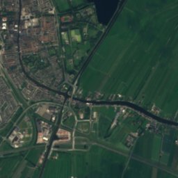
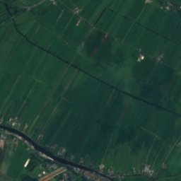
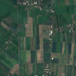
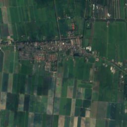
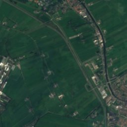
Satellite: Sentinel-2 cloudless 2016 by EOX IT Services GmbH · CC BY 4.0 · Contains modified Copernicus Sentinel data 2016
11 km SE

Gouwe

River
Gouwe

Heritage

Leiden City Hall
Photo: Erik Zachte · CC BY-SA 3.0 · Wikimedia CommonsReport this photo · linked, not stored
2.6 km W

Leiden City Hall

Rijksmonument · 1597
Leiden City Hall
Pieterskerk
Photo: Erik Zachte · CC BY-SA 4.0 · Wikimedia CommonsReport this photo · linked, not stored
2.8 km W

Pieterskerk

Rijksmonument · 1121
Pieterskerk
Het Volkshuis
Photo: Rudolphous · CC BY 3.0 · Wikimedia CommonsReport this photo · linked, not stored
2.8 km W

Het Volkshuis

Rijksmonument · 1899
Het Volkshuis

Museums

Rijksmuseum van Oudheden
Photo: Goodness Shamrock · CC BY-SA 3.0 · Wikimedia CommonsReport this photo · linked, not stored
3.0 km W

Rijksmuseum van Oudheden

1818
Rijksmuseum van Oudheden
Naturalis Biodiversity Center
Photo: Hay Kranen · CC BY 4.0 · Wikimedia CommonsReport this photo · linked, not stored
3.9 km W

Naturalis Biodiversity Center

Natural history museum · 1984
Naturalis Biodiversity Center
Wereldmuseum Leiden
Photo: Sneeuwvlakte · CC BY-SA 4.0 · Wikimedia CommonsReport this photo · linked, not stored
3.2 km W

Wereldmuseum Leiden

1837
Wereldmuseum Leiden