
Photo: Quistnix at nl.wikipedia · CC BY-SA 2.5 · Wikimedia Commons
LeonideReport this photo · linked, not stored
LeonideReport this photo · linked, not stored

Photo: Quistnix at nl.wikipedia · CC BY-SA 2.5 · Wikimedia Commons
De Hoop, WieringerwaardReport this photo · linked, not stored
De Hoop, WieringerwaardDe Hoop, WieringerwaardReport this photo · linked, not stored

Photo: Gebruiker:Rudolphous · CC BY-SA 3.0 · Wikimedia Commons
Hervormde kerk (Wieringerwaard)Report this photo · linked, not stored
Hervormde kerk (Wieringerwaard)Hervormde kerk (Wieringerwaard)Report this photo · linked, not stored

Photo: Gebruiker:Rudolphous · CC BY-SA 3.0 · Wikimedia Commons
Railway station WieringerwaardReport this photo · linked, not stored
Railway station WieringerwaardRailway station WieringerwaardReport this photo · linked, not stored

Photo: Quistnix at nl.wikipedia · CC BY-SA 3.0 · Wikimedia Commons
Molen PReport this photo · linked, not stored
Molen PMolen PReport this photo · linked, not stored
stellingmillAnna Paulowna, North Holland
Leonide
Rijksmonument
Typestellingmill
Built–
Best monthsJun–Augweather in Anna Paulowna
52.86° N, 4.83° EUTC+1 · Central European Standard Time
When to goAnna Paulowna · weather score
Best timeJun–Aug
October: high / low14° / 9°
iAbout
Leonide in brief
Leonide is a stellingmill in Anna Paulowna, North Holland, Netherlands.
It holds the designation Rijksmonument.
For a visit, the weather in Anna Paulowna is best in June, July and August; in October afternoons average 14°.
Facts
- Type
- stellingmill
- Designation
- Rijksmonument
- Nearest town
- Anna Paulowna
- Region
- North Holland
- Coordinates
- 52.85574, 4.83448
iiLocation
Where to find it
iiiWhen to visit
Climate guideWeather in Anna Paulowna
Month score for sightseeing
Best Jun–Aug17
Jan
20
Feb
25
Mar
48
Apr
60
May
68
Jun
65
Jul
65
Aug
64
Sep
42
Oct
17
Nov
16
Dec
ivNearby
All monuments in the NetherlandsMore heritage close by
Photo: Quistnix at nl.wikipedia · CC BY-SA 2.5 · Wikimedia CommonsReport this photo · linked, not stored
De Hoop, Wieringerwaard
2.3 km SE
Rijksmonument
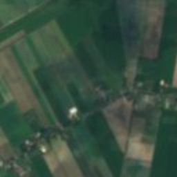
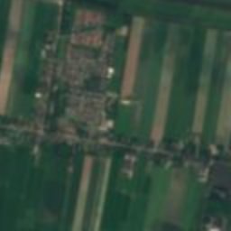
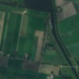
Satellite: Sentinel-2 cloudless 2016 by EOX IT Services GmbH · CC BY 4.0 · Contains modified Copernicus Sentinel data 2016
Watertoren van Wieringerwaard
2.4 km SE
Rijksmonument
Photo: Gebruiker:Rudolphous · CC BY-SA 3.0 · Wikimedia CommonsReport this photo · linked, not stored
Hervormde kerk (Wieringerwaard)
3.0 km SE
Rijksmonument
Photo: Gebruiker:Rudolphous · CC BY-SA 3.0 · Wikimedia CommonsReport this photo · linked, not stored
Railway station Wieringerwaard
3.1 km SE
Rijksmonument
Photo: Quistnix at nl.wikipedia · CC BY-SA 3.0 · Wikimedia CommonsReport this photo · linked, not stored
Molen P
3.8 km SW
Rijksmonument

Photo: Quistnix at nl.wikipedia · CC BY-SA 3.0 · Wikimedia CommonsReport this photo · linked, not stored
Molen P-V
4.2 km SW
Rijksmonument
Around here
Anna Paulowna and around

Photo: Quistnix at nl.wikipedia · CC BY-SA 2.5 · Wikimedia CommonsReport this photo · linked, not stored
Anna Paulowna
North Holland · Netherlands
Jun–Augbest months
21°July high
-3 maltitude
Nature


Photo: Archief Alkmaar Commons from Alkmaar, The Netherlands · Public domain · Wikimedia CommonsReport this photo · linked, not stored
Geestmerambacht
Lake

Mountains


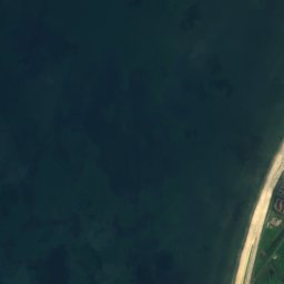
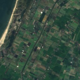
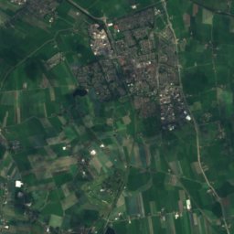


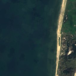
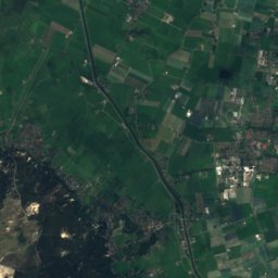
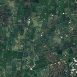


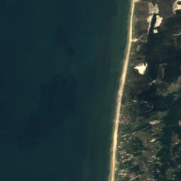
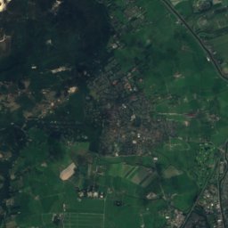
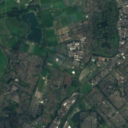
Satellite: Sentinel-2 cloudless 2016 by EOX IT Services GmbH · CC BY 4.0 · Contains modified Copernicus Sentinel data 2016
Catrijper Nok
55 m
Heritage
Photo: Quistnix at nl.wikipedia · CC BY-SA 2.5 · Wikimedia CommonsReport this photo · linked, not stored
De Hoop, Wieringerwaard
Rijksmonument
Satellite: Sentinel-2 cloudless 2016 by EOX IT Services GmbH · CC BY 4.0 · Contains modified Copernicus Sentinel data 2016
Watertoren van Wieringerwaard
Rijksmonument · 1950

Museums

Photo: bertknot from scarborough, australia · CC BY-SA 2.0 · Wikimedia CommonsReport this photo · linked, not stored
Dutch Navy Museum
Naval museum


Photo: Henk Stapel, director of the Reddingmuseum · Public domain · Wikimedia CommonsReport this photo · linked, not stored

Nationaal Reddingmuseum Dorus Rijkers
1982