
Photo: Roleff · CC BY-SA 3.0 nl · Wikimedia Commons
KlinkenbergReport this photo · linked, not stored
KlinkenbergReport this photo · linked, not stored

Photo: Michielverbeek · CC BY-SA 3.0 · Wikimedia Commons
Hervormde kerk (Oosterhesselen)Report this photo · linked, not stored
Hervormde kerk (Oosterhesselen)Hervormde kerk (Oosterhesselen)Report this photo · linked, not stored
ruinsGeesbrug, Drenthe
Klinkenberg
Rijksmonument
Typeruins
Built–
Best monthsMay–Jun · Sepweather in Geesbrug
52.74° N, 6.65° EUTC+1 · Central European Standard Time
When to goGeesbrug · weather score
Best timeMay–Jun · Sep
October: high / low14° / 7°
iAbout
Klinkenberg in brief
Klinkenberg is a ruins in Geesbrug, Drenthe, Netherlands.
It holds the designation Rijksmonument.
For a visit, the weather in Geesbrug is best in May, June and September; in October afternoons average 14°.
iiLocation
Where to find it
iiiWhen to visit
Climate guideWeather in Geesbrug
Month score for sightseeing
Best May–Jun · Sep15
Jan
21
Feb
23
Mar
53
Apr
68
May
66
Jun
64
Jul
64
Aug
66
Sep
41
Oct
15
Nov
14
Dec
ivNearby
All monuments in the NetherlandsMore heritage close by
Around here
Geesbrug and around

Nature
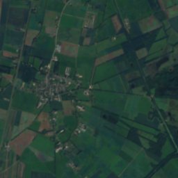
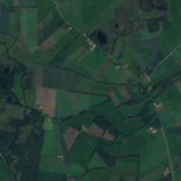
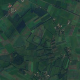
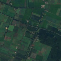
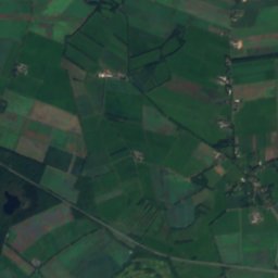
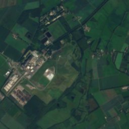
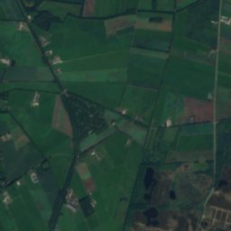
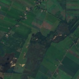
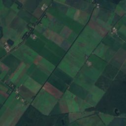
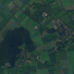
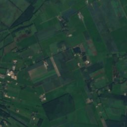
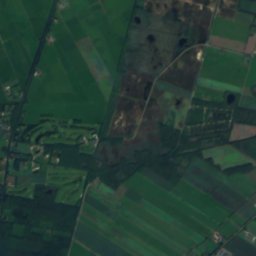
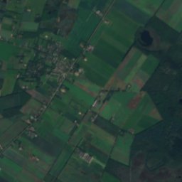
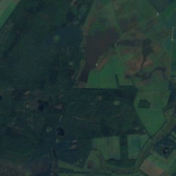
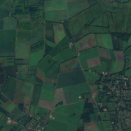
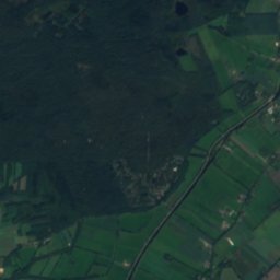
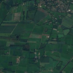
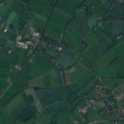
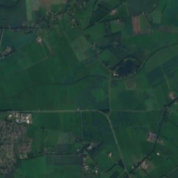
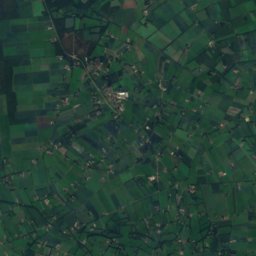
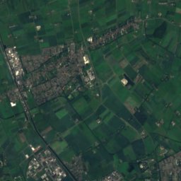
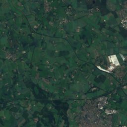
Satellite: Sentinel-2 cloudless 2016 by EOX IT Services GmbH · CC BY 4.0 · Contains modified Copernicus Sentinel data 2016
Mekelermeer
Lake
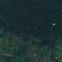
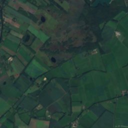
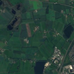
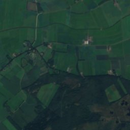
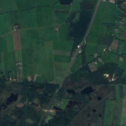
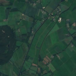
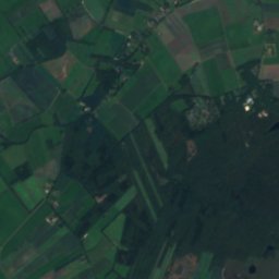
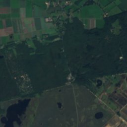
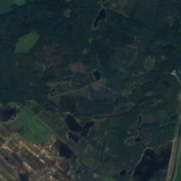
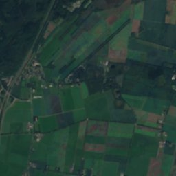
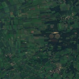
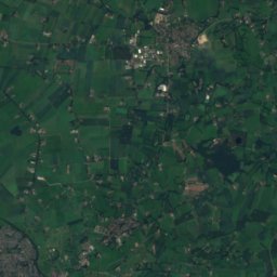
Satellite: Sentinel-2 cloudless 2016 by EOX IT Services GmbH · CC BY 4.0 · Contains modified Copernicus Sentinel data 2016
Dwingelderveld National Park
National park

Mountains
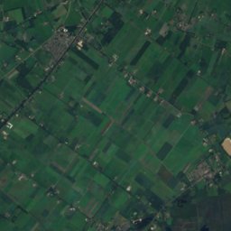
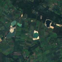

Heritage


Photo: Jeroen Hilbrink, Hoogeveen · CC BY-SA 4.0 · Wikimedia CommonsReport this photo · linked, not stored
Woonhuis in eclectische stijl
Rijksmonument · 1878
Museums


Photo: Richard Broekhuijzen · CC BY-SA 4.0 · Wikimedia CommonsReport this photo · linked, not stored
Jan Kruis Museum



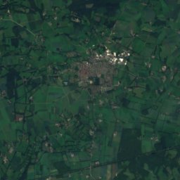
Satellite: Sentinel-2 cloudless 2016 by EOX IT Services GmbH · CC BY 4.0 · Contains modified Copernicus Sentinel data 2016