
Photo: Rijksdienst voor het Cultureel Erfgoed · CC BY-SA 4.0 · Wikimedia Commons
Hof de RisseltReport this photo · linked, not stored
Hof de RisseltReport this photo · linked, not stored

Photo: Rijksdienst voor het Cultureel Erfgoed · CC BY-SA 4.0 · Wikimedia Commons
RisseltkapelReport this photo · linked, not stored
RisseltkapelRisseltkapelReport this photo · linked, not stored

Photo: Kasteelbeer · CC BY-SA 3.0 nl · Wikimedia Commons
Huys ter HorstReport this photo · linked, not stored
Huys ter HorstHuys ter HorstReport this photo · linked, not stored

Photo: Els Diederen at li.wikipedia · CC BY-SA 3.0 · Wikimedia Commons
Sint-Lambertuskerk, HorstReport this photo · linked, not stored
Sint-Lambertuskerk, HorstSint-Lambertuskerk, HorstReport this photo · linked, not stored

Photo: abcvandenberg · CC BY-SA 3.0 · Wikimedia Commons
Sint-Jozefkapel, HorstReport this photo · linked, not stored
Sint-Jozefkapel, HorstSint-Jozefkapel, HorstReport this photo · linked, not stored
farmHorst, Limburg
Hof de Risselt
Rijksmonument
Typefarm
Built–
Best monthsMay–Jun · Sepweather in Horst
51.46° N, 6.06° EUTC+1 · Central European Standard Time
When to goHorst · weather score
Best timeMay–Jun · Sep
October: high / low15° / 7°
iAbout
Hof de Risselt in brief
Hof de Risselt is a farm in Horst, Limburg, Netherlands.
It holds the designation Rijksmonument.
For a visit, the weather in Horst is best in May, June and September; in October afternoons average 15°.
iiLocation
Where to find it
iiiWhen to visit
Climate guideWeather in Horst
Month score for sightseeing
Best May–Jun · Sep15
Jan
21
Feb
28
Mar
59
Apr
67
May
66
Jun
64
Jul
64
Aug
69
Sep
49
Oct
18
Nov
15
Dec
ivNearby
All monuments in the NetherlandsMore heritage close by
Photo: Rijksdienst voor het Cultureel Erfgoed · CC BY-SA 4.0 · Wikimedia CommonsReport this photo · linked, not stored
Risseltkapel
under 100 m NE
Rijksmonument
Photo: Els Diederen at li.wikipedia · CC BY-SA 3.0 · Wikimedia CommonsReport this photo · linked, not stored
Sint-Lambertuskerk, Horst
0.9 km S
Rijksmonument

Photo: Rijksdienst voor het Cultureel Erfgoed · CC BY-SA 4.0 · Wikimedia CommonsReport this photo · linked, not stored
Zuid Nederlandse Kantfabriek
1.1 km SW
Rijksmonument

Around here
Horst and around
Photo: Els Diederen at li.wikipedia · CC BY-SA 3.0 · Wikimedia CommonsReport this photo · linked, not stored
Horst
Limburg · Netherlands
May–Jun · Sepbest months
25°July high
27 maltitude
Nature
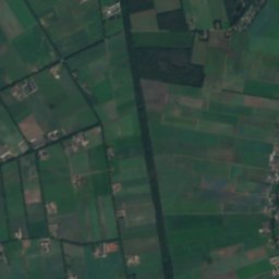
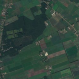
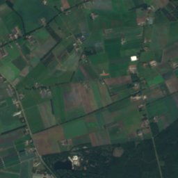
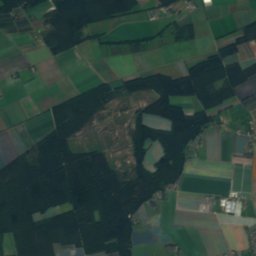
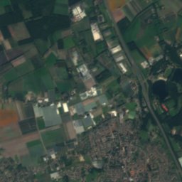
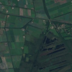
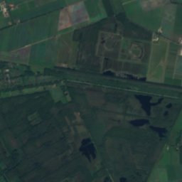
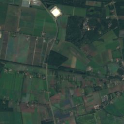
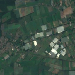
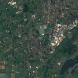
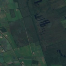
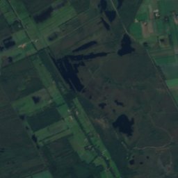
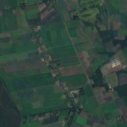
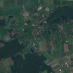
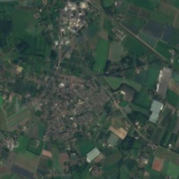
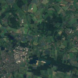
Satellite: Sentinel-2 cloudless 2016 by EOX IT Services GmbH · CC BY 4.0 · Contains modified Copernicus Sentinel data 2016
De Put, Limburg
Lake
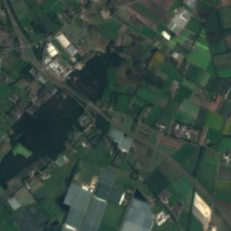
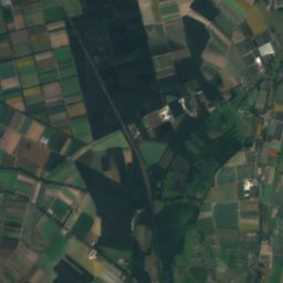
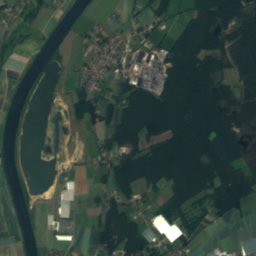
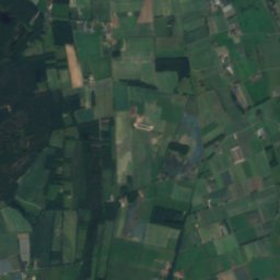
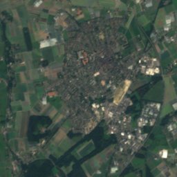
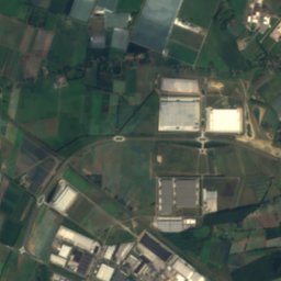
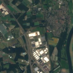
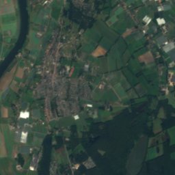
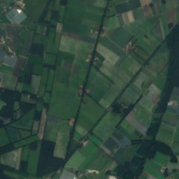
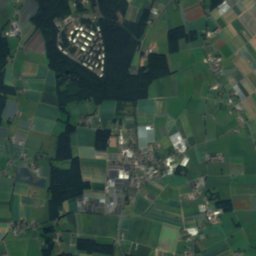
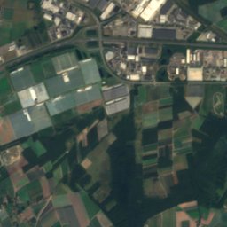
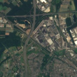
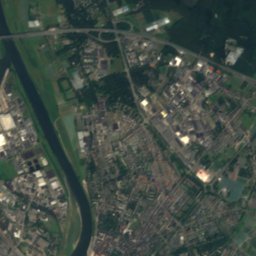
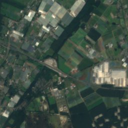
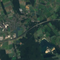
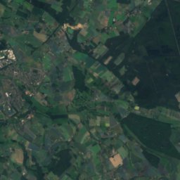
Satellite: Sentinel-2 cloudless 2016 by EOX IT Services GmbH · CC BY 4.0 · Contains modified Copernicus Sentinel data 2016
Venkoelen
Lake

Mountains

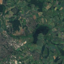
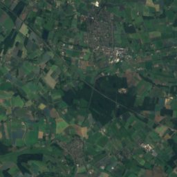
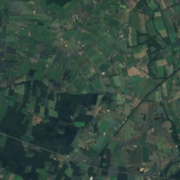
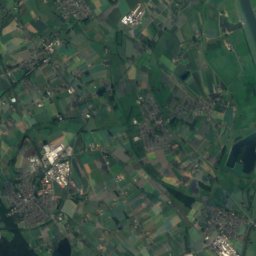
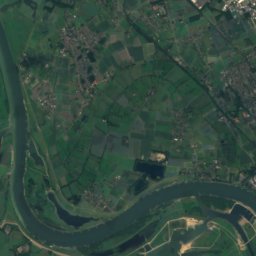
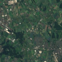
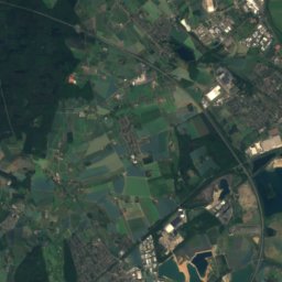
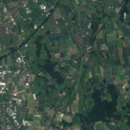
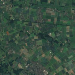
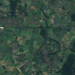
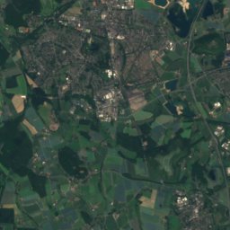
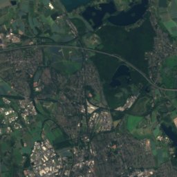
Satellite: Sentinel-2 cloudless 2016 by EOX IT Services GmbH · CC BY 4.0 · Contains modified Copernicus Sentinel data 2016
Eyllsche Berg
77 m

Heritage
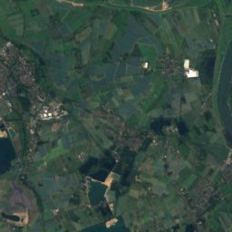
Satellite: Sentinel-2 cloudless 2016 by EOX IT Services GmbH · CC BY 4.0 · Contains modified Copernicus Sentinel data 2016
Sint-Lambertuskerk, Horst
Rijksmonument · 1950


Sint-Hubertuskerk, Hegelsom
municipal monument in the Netherlands · 1930
Museums
Satellite: Sentinel-2 cloudless 2016 by EOX IT Services GmbH · CC BY 4.0 · Contains modified Copernicus Sentinel data 2016
Museum de Locht
Open-air museum


Satellite: Sentinel-2 cloudless 2016 by EOX IT Services GmbH · CC BY 4.0 · Contains modified Copernicus Sentinel data 2016
Museum Oorlog in de Peel
Satellite: Sentinel-2 cloudless 2016 by EOX IT Services GmbH · CC BY 4.0 · Contains modified Copernicus Sentinel data 2016