

Photo: Harry Pot for Anefo · CC0 · Wikimedia Commons
Zendmast bij het PaardenveldReport this photo · linked, not stored
Zendmast bij het PaardenveldZendmast bij het PaardenveldReport this photo · linked, not stored

Photo: The original uploader was P.H. Louw at Dutch Wikipedia. · CC BY 2.5 nl · Wikimedia Commons
De WindotterReport this photo · linked, not stored
De WindotterDe WindotterReport this photo · linked, not stored

Photo: Onderwijsgek · CC BY-SA 3.0 · Wikimedia Commons
Sint-NicolaasbasiliekReport this photo · linked, not stored
Sint-NicolaasbasiliekSint-NicolaasbasiliekReport this photo · linked, not stored

Photo: Rijksdienst voor het Cultureel Erfgoed · CC BY-SA 4.0 · Wikimedia Commons
Saint Nicholas Church, IJsselsteinReport this photo · linked, not stored
Saint Nicholas Church, IJsselsteinSaint Nicholas Church, IJsselsteinReport this photo · linked, not stored
transmitter mastIJsselstein, Utrecht
Gerbrandy Tower
RijksmonumentBuilt 1961
Typetransmitter mastreconstruction-period
Built1961by Hans Wilhelm Auer
Best monthsMay–Jun · Sepweather in IJsselstein
52.01° N, 5.05° EUTC+1 · Central European Standard Time
Standing for65 years
built 1961today 2026
When to goIJsselstein · weather score
Best timeMay–Jun · Sep
October: high / low15° / 7°
iAbout
Gerbrandy Tower in brief
Gerbrandy Tower is a transmitter mast in IJsselstein, Utrecht, Netherlands.
It holds the designation Rijksmonument.
The transmitter mast dates from 1961, was designed by Hans Wilhelm Auer and is built in the reconstruction-period style.
For a visit, the weather in IJsselstein is best in May, June and September; in October afternoons average 15°.
Facts
- Type
- transmitter mast
- Designation
- Rijksmonument
- Built
- 1961
- Architect
- Hans Wilhelm Auer
- Style
- reconstruction-period
- Nearest town
- IJsselstein
- Region
- Utrecht
- Coordinates
- 52.01007, 5.05358
iiLocation
Where to find it
ivNearby
All monuments in the NetherlandsMore heritage close by
Zendmast bij het Paardenveld
0.8 km NW
municipal monument in the Netherlands
Photo: The original uploader was P.H. Louw at Dutch Wikipedia. · CC BY 2.5 nl · Wikimedia CommonsReport this photo · linked, not stored
De Windotter
1.1 km NW
Rijksmonument
Photo: Rijksdienst voor het Cultureel Erfgoed · CC BY-SA 4.0 · Wikimedia CommonsReport this photo · linked, not stored
Saint Nicholas Church, IJsselstein
1.4 km NW
Rijksmonument


Around here
IJsselstein and around

Nature


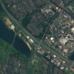
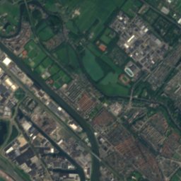
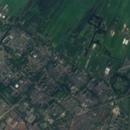
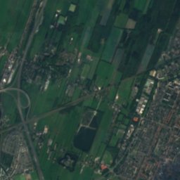
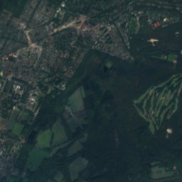
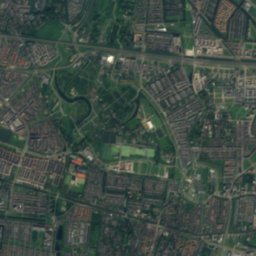
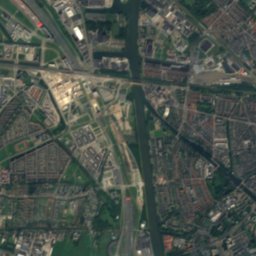
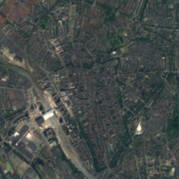
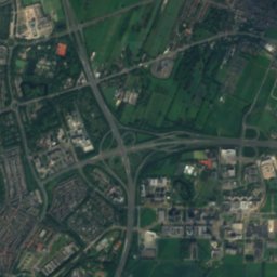
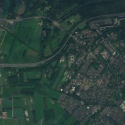
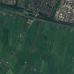
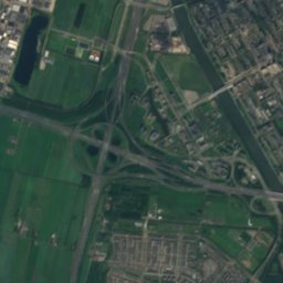
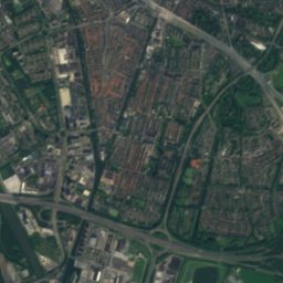
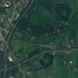
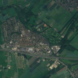
Satellite: Sentinel-2 cloudless 2016 by EOX IT Services GmbH · CC BY 4.0 · Contains modified Copernicus Sentinel data 2016
Kromme Rijn
River
Mountains

Heritage
Photo: Rijksdienst voor het Cultureel Erfgoed · CC BY-SA 4.0 · Wikimedia CommonsReport this photo · linked, not stored
Saint Nicholas Church, IJsselstein
Rijksmonument · 1309

Photo: Rijksdienst voor het Cultureel Erfgoed · CC BY-SA 4.0 · Wikimedia CommonsReport this photo · linked, not stored
Emmauskerk, Nieuwegein
Rijksmonument · 1976
Museums


Photo: Lex vB at Dutch Wikipedia · Public domain · Wikimedia CommonsReport this photo · linked, not stored
Museumwerf Vreeswijk
Maritime museum


Satellite: Sentinel-2 cloudless 2016 by EOX IT Services GmbH · CC BY 4.0 · Contains modified Copernicus Sentinel data 2016