
Photo: Ben Bender · CC BY-SA 3.0 · Wikimedia Commons
EducatoriumReport this photo · linked, not stored
EducatoriumReport this photo · linked, not stored

Photo: Choinowski · CC BY-SA 4.0 · Wikimedia Commons
SterrentorenReport this photo · linked, not stored
SterrentorenSterrentorenReport this photo · linked, not stored

Photo: Unknown author · CC BY-SA 2.5 nl · Wikimedia Commons
New Dutch Waterline works at HoofddijkReport this photo · linked, not stored
New Dutch Waterline works at HoofddijkNew Dutch Waterline works at HoofddijkReport this photo · linked, not stored

Photo: Original uploader was Roland Vaandrager (Roland1 at nl.wikipedia)(Original text: · Public domain · Wikimedia Commons
Minnaert buildingReport this photo · linked, not stored
Minnaert buildingMinnaert buildingReport this photo · linked, not stored

Photo: Rijksdienst voor het Cultureel Erfgoed · CC BY-SA 4.0 · Wikimedia Commons
Farmhouse De UithofReport this photo · linked, not stored
Farmhouse De UithofFarmhouse De UithofReport this photo · linked, not stored
universityDe Bilt, Utrecht
Educatorium
municipal monument in the NetherlandsBuilt 1992
Typeuniversity
Built1992by Office for Metropolitan Architecture, Rem Koolhaas
Best monthsMay–Jun · Sepweather in De Bilt
52.09° N, 5.17° EUTC+2 · Central European Summer Time
Standing for34 years
built 1992today 2026
When to goDe Bilt · weather score
Best timeMay–Jun · Sep
October: high / low15° / 7°
iAbout
Educatorium in brief
Educatorium is an university in De Bilt, Utrecht, Netherlands.
It holds the designation municipal monument in the Netherlands.
The university dates from 1992 and was designed by Office for Metropolitan Architecture, Rem Koolhaas.
For a visit, the weather in De Bilt is best in May, June and September; in October afternoons average 15°.
iiLocation
Where to find it
iiiWhen to visit
Climate guideWeather in De Bilt
Month score for sightseeing
Best May–Jun · Sep16
Jan
21
Feb
27
Mar
56
Apr
66
May
66
Jun
64
Jul
65
Aug
66
Sep
43
Oct
16
Nov
15
Dec
ivNearby
All monuments in the NetherlandsMore heritage close by
New Dutch Waterline works at Hoofddijk
0.3 km NW
Rijksmonument complex
Photo: Original uploader was Roland Vaandrager (Roland1 at nl.wikipedia)(Original text: · Public domain · Wikimedia CommonsReport this photo · linked, not stored
Minnaert building
0.4 km W
municipal monument in the Netherlands
Photo: Rijksdienst voor het Cultureel Erfgoed · CC BY-SA 4.0 · Wikimedia CommonsReport this photo · linked, not stored
Farmhouse De Uithof
0.6 km S
Rijksmonument


Around here
De Bilt and around
Photo: Original uploader was Roland Vaandrager (Roland1 at nl.wikipedia)(Original text: · Public domain · Wikimedia CommonsReport this photo · linked, not stored
De Bilt
Utrecht · Netherlands
May–Jun · Sepbest months
23°July high
4 maltitude
Nature

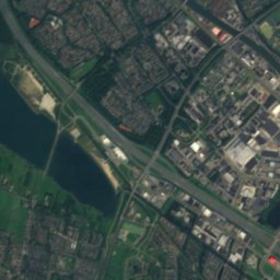
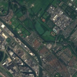
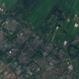
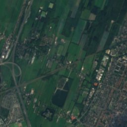
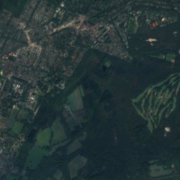
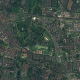
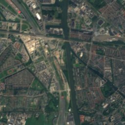
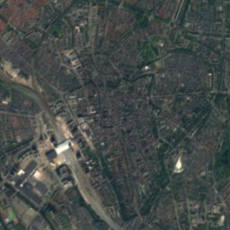
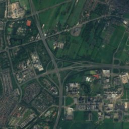
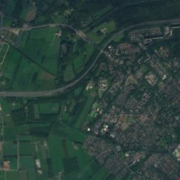
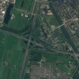
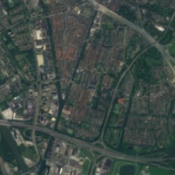
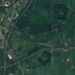
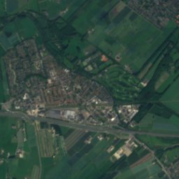
Satellite: Sentinel-2 cloudless 2016 by EOX IT Services GmbH · CC BY 4.0 · Contains modified Copernicus Sentinel data 2016
Kromme Rijn
River

Mountains

Heritage
Satellite: Sentinel-2 cloudless 2016 by EOX IT Services GmbH · CC BY 4.0 · Contains modified Copernicus Sentinel data 2016
Minnaert building
municipal monument in the Netherlands · 1994
Museums




Satellite: Sentinel-2 cloudless 2016 by EOX IT Services GmbH · CC BY 4.0 · Contains modified Copernicus Sentinel data 2016


