

Photo: Michel Dellebeke · CC BY-SA 3.0 · Wikimedia Commons
BergReport this photo · linked, not stored
BergBergReport this photo · linked, not stored

Photo: Michel Dellebeke · CC BY-SA 3.0 · Wikimedia Commons
EdensReport this photo · linked, not stored
EdensEdensReport this photo · linked, not stored

Photo: Hilda Morassi · CC BY-SA 3.0 nl · Wikimedia Commons
Sociëteit De HarmonieReport this photo · linked, not stored
Sociëteit De HarmonieSociëteit De HarmonieReport this photo · linked, not stored

Photo: Rijksdienst voor het Cultureel Erfgoed · CC BY-SA 4.0 · Wikimedia Commons
MarktpleinkerkReport this photo · linked, not stored
MarktpleinkerkMarktpleinkerkReport this photo · linked, not stored
windmillWinschoten, Groningen
Dijkstra
Rijksmonument
Typewindmill
Built–
Best monthsMay–Julweather in Winschoten
53.15° N, 7.03° EUTC+1 · Central European Standard Time
When to goWinschoten · weather score
Best timeMay–Jul
October: high / low14° / 7°
iAbout
Dijkstra in brief
Dijkstra is a windmill in Winschoten, Groningen, Netherlands.
It holds the designation Rijksmonument.
For a visit, the weather in Winschoten is best in May, June and July; in October afternoons average 14°.
Facts
- Type
- windmill
- Designation
- Rijksmonument
- Nearest town
- Winschoten
- Region
- Groningen
- Coordinates
- 53.14778, 7.02778
iiLocation
Where to find it
ivNearby
All monuments in the NetherlandsMore heritage close by
Photo: Rijksdienst voor het Cultureel Erfgoed · CC BY-SA 4.0 · Wikimedia CommonsReport this photo · linked, not stored
Marktpleinkerk
1.0 km SE
Rijksmonument
Satellite: Sentinel-2 cloudless 2016 by EOX IT Services GmbH · CC BY 4.0 · Contains modified Copernicus Sentinel data 2016
Graaf Adolfmonument
1.9 km NW
Rijksmonument

Around here
Winschoten and around
Photo: Rijksdienst voor het Cultureel Erfgoed · CC BY-SA 4.0 · Wikimedia CommonsReport this photo · linked, not stored
Winschoten
Groningen · Netherlands
May–Julbest months
23°July high
3 maltitude
Nature
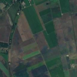
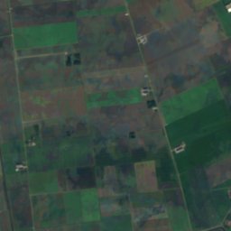
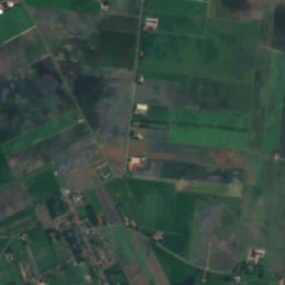
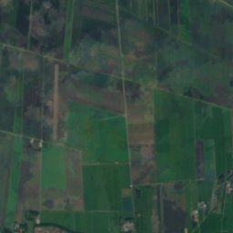
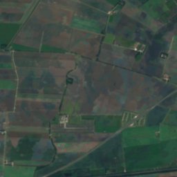
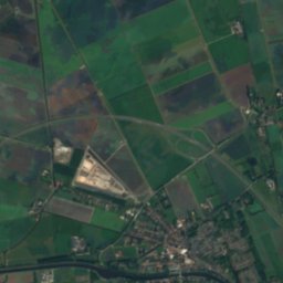
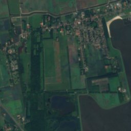
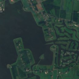
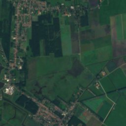
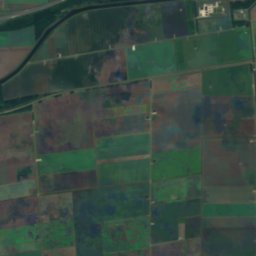
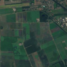
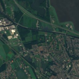
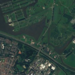
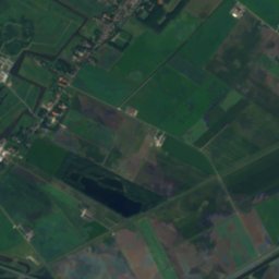
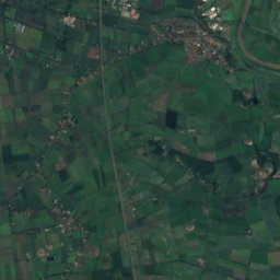
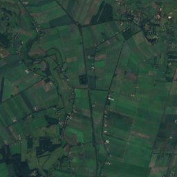
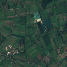
Satellite: Sentinel-2 cloudless 2016 by EOX IT Services GmbH · CC BY 4.0 · Contains modified Copernicus Sentinel data 2016
Oldambtmeer
Lake
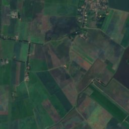
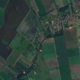
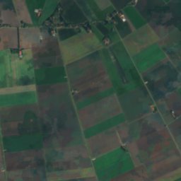
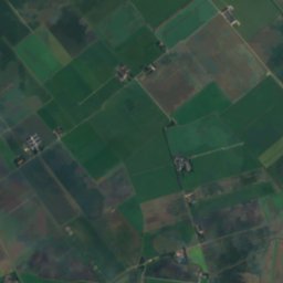
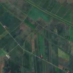
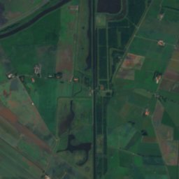
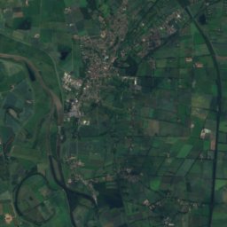
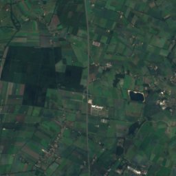
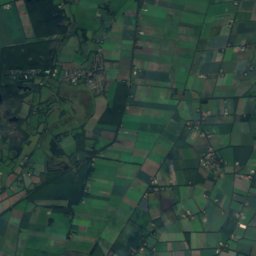
Satellite: Sentinel-2 cloudless 2016 by EOX IT Services GmbH · CC BY 4.0 · Contains modified Copernicus Sentinel data 2016
Huningameer
Lake
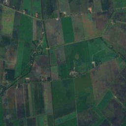
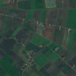
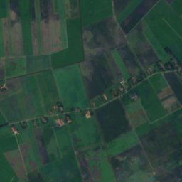
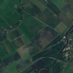
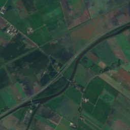
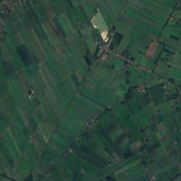
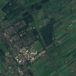
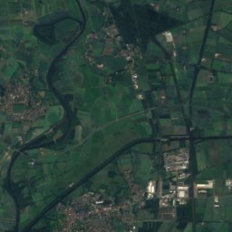
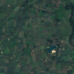
Satellite: Sentinel-2 cloudless 2016 by EOX IT Services GmbH · CC BY 4.0 · Contains modified Copernicus Sentinel data 2016
Binnen-Tjamme
Lake · -5 m
Mountains
Heritage
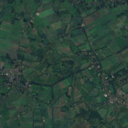
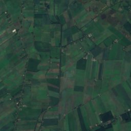
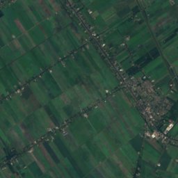
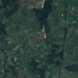
Satellite: Sentinel-2 cloudless 2016 by EOX IT Services GmbH · CC BY 4.0 · Contains modified Copernicus Sentinel data 2016
Marktpleinkerk
Rijksmonument
Museums









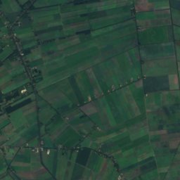
Satellite: Sentinel-2 cloudless 2016 by EOX IT Services GmbH · CC BY 4.0 · Contains modified Copernicus Sentinel data 2016
Museum de Oude Wolden
Local museum · 1973