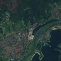
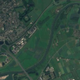
Satellite: Sentinel-2 cloudless 2016 by EOX IT Services GmbH · CC BY 4.0 · Contains modified Copernicus Sentinel data 2016

Photo: Peter van der Wielen · CC BY-SA 3.0 nl · Wikimedia Commons
Huis Den BoschReport this photo · linked, not stored
Huis Den BoschHuis Den BoschReport this photo · linked, not stored

Photo: Trudi Dorreboom-Rosenboom · CC BY-SA 3.0 · Wikimedia Commons
De WildbaanReport this photo · linked, not stored
De WildbaanDe WildbaanReport this photo · linked, not stored

Photo: Ymblanter · CC BY-SA 4.0 · Wikimedia Commons
Oude- of Sint-Pancratiuskerk, BrummenReport this photo · linked, not stored
Oude- of Sint-Pancratiuskerk, BrummenOude- of Sint-Pancratiuskerk, BrummenReport this photo · linked, not stored

Photo: Koosg (Koos de Geest) · CC BY-SA 3.0 · Wikimedia Commons
Spaensweertweg 2, SteenderenReport this photo · linked, not stored
Spaensweertweg 2, SteenderenSpaensweertweg 2, SteenderenReport this photo · linked, not stored
mansionBrummen, Gelderland
De Rees
Rijksmonument
Typemansion
Built–
Best monthsMay–Jun · Sepweather in Brummen
52.08° N, 6.15° EUTC+2 · Central European Summer Time
When to goBrummen · weather score
Best timeMay–Jun · Sep
October: high / low15° / 7°
iAbout
De Rees in brief
De Rees is a mansion in Brummen, Gelderland, Netherlands.
It holds the designation Rijksmonument.
For a visit, the weather in Brummen is best in May, June and September; in October afternoons average 15°.
Facts
- Type
- mansion
- Designation
- Rijksmonument
- Nearest town
- Brummen
- Region
- Gelderland
- Coordinates
- 52.07959, 6.14741
iiLocation
Where to find it
iiiWhen to visit
Climate guideWeather in Brummen
Month score for sightseeing
Best May–Jun · Sep15
Jan
21
Feb
27
Mar
57
Apr
66
May
65
Jun
64
Jul
64
Aug
66
Sep
44
Oct
16
Nov
15
Dec
ivNearby
All monuments in the NetherlandsMore heritage close by
Photo: Peter van der Wielen · CC BY-SA 3.0 nl · Wikimedia CommonsReport this photo · linked, not stored
Huis Den Bosch
0.8 km W
Rijksmonument complex
Photo: Trudi Dorreboom-Rosenboom · CC BY-SA 3.0 · Wikimedia CommonsReport this photo · linked, not stored
De Wildbaan
1.1 km SW
Rijksmonument
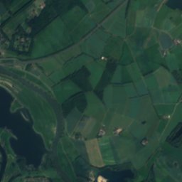
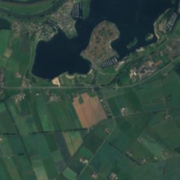
Satellite: Sentinel-2 cloudless 2016 by EOX IT Services GmbH · CC BY 4.0 · Contains modified Copernicus Sentinel data 2016
Kasteel Groot Engelenburg
1.5 km NW
Rijksmonument complex
Photo: Koosg (Koos de Geest) · CC BY-SA 3.0 · Wikimedia CommonsReport this photo · linked, not stored
Spaensweertweg 2, Steenderen
1.9 km SE
Rijksmonument

Photo: Heidi Touw - VisitBrummenEerbeek · CC BY-SA 4.0 · Wikimedia CommonsReport this photo · linked, not stored
Grafmonument op de Algemene Begraafplaats in Brummen
2.1 km N
Rijksmonument
Around here
Brummen and around
Photo: Peter van der Wielen · CC BY-SA 3.0 nl · Wikimedia CommonsReport this photo · linked, not stored
Brummen
Gelderland · Netherlands
May–Jun · Sepbest months
24°July high
12 maltitude
Nature


Photo: © Günter Seggebäing, CC BY-SA 3.0 · CC BY-SA 3.0 · Wikimedia CommonsReport this photo · linked, not stored
Berkel
River
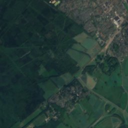
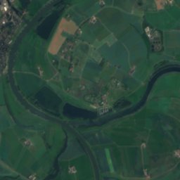
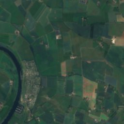
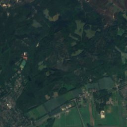
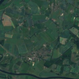
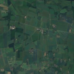
Satellite: Sentinel-2 cloudless 2016 by EOX IT Services GmbH · CC BY 4.0 · Contains modified Copernicus Sentinel data 2016
Oude IJssel
River
Mountains

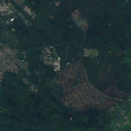
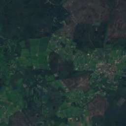
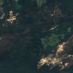
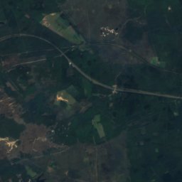
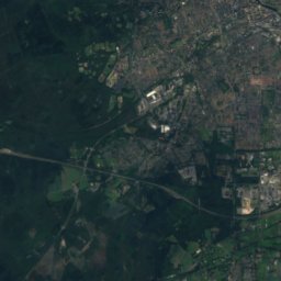
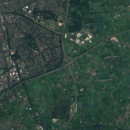
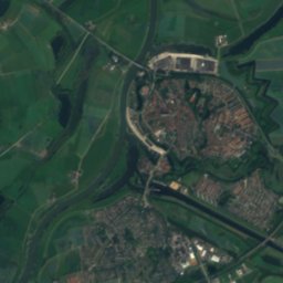
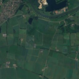
Satellite: Sentinel-2 cloudless 2016 by EOX IT Services GmbH · CC BY 4.0 · Contains modified Copernicus Sentinel data 2016
Torenberg
107 m

Heritage

Nederlands Hervormde Kerk, Bronkhorst
Rijksmonument · 1500
Photo: Trudi Dorreboom-Rosenboom · CC BY-SA 3.0 · Wikimedia CommonsReport this photo · linked, not stored
De Wildbaan
Rijksmonument · 1910

Photo: Quistnix at nl.wikipedia · CC BY-SA 2.5 · Wikimedia CommonsReport this photo · linked, not stored
Bronkhorstermolen
Rijksmonument
Museums
Satellite: Sentinel-2 cloudless 2016 by EOX IT Services GmbH · CC BY 4.0 · Contains modified Copernicus Sentinel data 2016
Toy Gallery
Toy museum


