Skip to content
Destinations
Weather & climate
Nature
Outdoors
Culture
Events
Sky & live
D27
Photo: Andre Engels · CC BY 1.0 · Wikimedia Commons
D27Report this photo · linked, not stored
Hunebedstraat 2, Borger
Photo: Gouwenaar · Public domain · Wikimedia Commons
Hunebedstraat 2, BorgerReport this photo · linked, not stored
Hunebedstraat 2, Borger
Hoofdstraat 19, Borger
Photo: Gouwenaar · CC0 · Wikimedia Commons
Hoofdstraat 19, BorgerReport this photo · linked, not stored
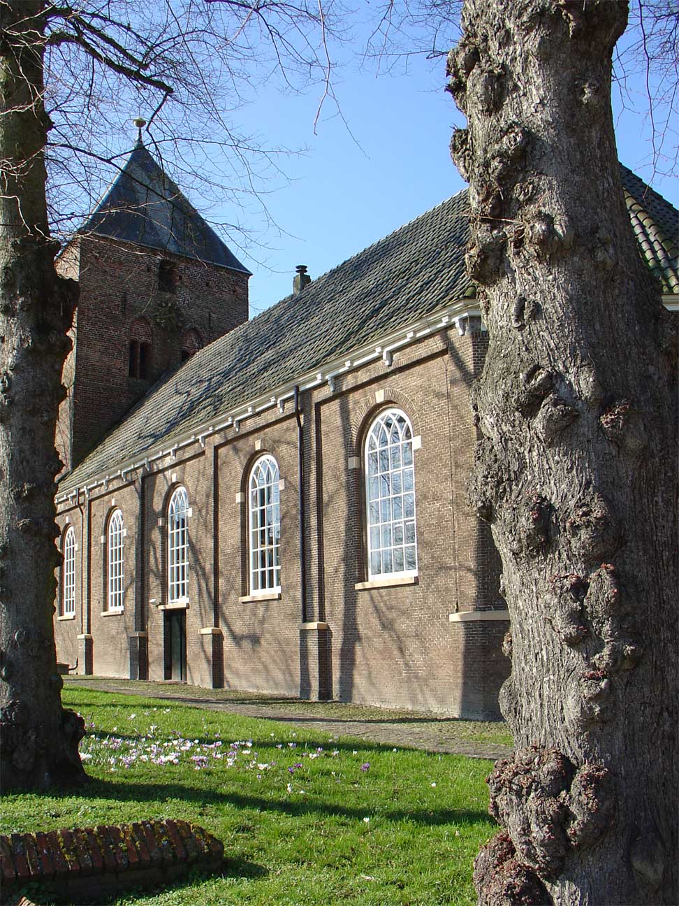
Hoofdstraat 19, Borger
Willibrord Church
Photo: Gouwenaar · Public domain · Wikimedia Commons
Willibrord ChurchReport this photo · linked, not stored
Willibrord Church
D26
Photo: Gouwenaar · Public domain · Wikimedia Commons
D26Report this photo · linked, not stored
D26
dolmenBorger, Drenthe

D27

Rijksmonument
Typedolmen
Built–
Best monthsMay–Jun · Sepweather in Borger
52.93° N, 6.80° EUTC+1 · Central European Standard Time
When to goBorger · weather score
JanFebMarAprMayJunJulAugSepOctNovDec40October
Best timeMay–Jun · Sep
October: high / low14° / 7°
iAbout

D27 in brief

D27 is a dolmen in Borger, Drenthe, Netherlands.

It holds the designation Rijksmonument.

For a visit, the weather in Borger is best in May, June and September; in October afternoons average 14°.

Borger: weather and travel guide

Facts

Type
dolmen
Designation
Rijksmonument
Nearest town
Borger
Region
Drenthe
Coordinates
52.93001, 6.79744
iiLocation

Where to find it

iiiWhen to visit

Weather in Borger

Climate guide

Month score for sightseeing

Best May–Jun · Sep
15
Jan
21
Feb
23
Mar
52
Apr
67
May
66
Jun
64
Jul
64
Aug
66
Sep
40
Oct
15
Nov
15
Dec
ivNearby

More heritage close by

All monuments in the Netherlands
Hunebedstraat 2, Borger
Photo: Gouwenaar · Public domain · Wikimedia CommonsReport this photo · linked, not stored

Hunebedstraat 2, Borger

0.5 km SW
Rijksmonument
Hunebedstraat 2, Borger
Hoofdstraat 19, Borger
Photo: Gouwenaar · CC0 · Wikimedia CommonsReport this photo · linked, not stored

Hoofdstraat 19, Borger

0.7 km SW
Rijksmonument
Hoofdstraat 19, Borger
Willibrord Church
Photo: Gouwenaar · Public domain · Wikimedia CommonsReport this photo · linked, not stored

Willibrord Church

0.8 km SW
Rijksmonument
Willibrord Church
D26
Photo: Gouwenaar · Public domain · Wikimedia CommonsReport this photo · linked, not stored

D26

2.1 km NW
Rijksmonument
D26
Dorpsstraat 17 van Bronneger
Photo: Gouwenaar · CC0 · Wikimedia CommonsReport this photo · linked, not stored

Dorpsstraat 17 van Bronneger

2.3 km NE
Provincial monument
Dorpsstraat 17 van Bronneger
transformatorhuisje, Buinen
Photo: Gouwenaar · CC0 · Wikimedia CommonsReport this photo · linked, not stored

transformatorhuisje, Buinen

2.8 km E
Provincial monument
transformatorhuisje, Buinen
Around here

Borger and around

Borger
Photo: Gouwenaar · Public domain · Wikimedia CommonsReport this photo · linked, not stored

Borger

Drenthe · Netherlands
May–Jun · Sepbest months
23°July high
15 maltitude
Borger

Nature

Drentsche Aa National Park
Photo: Gouwenaar · Public domain · Wikimedia CommonsReport this photo · linked, not stored
16 km NW

Drentsche Aa National Park

National park
Drentsche Aa National Park
Zuidlaardermeer
Photo: Gouwenaar · Public domain · Wikimedia CommonsReport this photo · linked, not stored
23 km N

Zuidlaardermeer

Lake · -2 m
Zuidlaardermeer
Hunze
Photo: Wutsje / Wikimedia Commons · CC BY-SA 3.0 · Wikimedia CommonsReport this photo · linked, not stored
21 km N

Hunze

River
Hunze

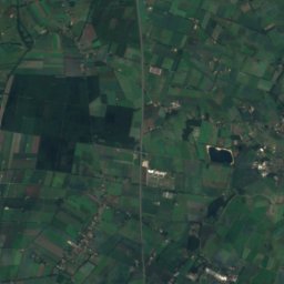
Mountains

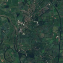
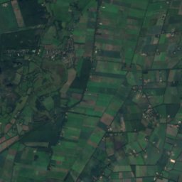
Satellite: Sentinel-2 cloudless 2016 by EOX IT Services GmbH · CC BY 4.0 · Contains modified Copernicus Sentinel data 2016
26 km E

Hasseberg

14 m
Hasseberg

Heritage

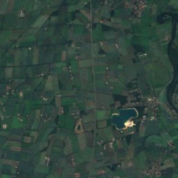
Satellite: Sentinel-2 cloudless 2016 by EOX IT Services GmbH · CC BY 4.0 · Contains modified Copernicus Sentinel data 2016
0.2 km NW

Willibrord Church

Rijksmonument · 1826
Willibrord Church
Hoofdstraat 19, Borger
Photo: Gouwenaar · CC0 · Wikimedia CommonsReport this photo · linked, not stored
0.3 km NW

Hoofdstraat 19, Borger

Rijksmonument
Hoofdstraat 19, Borger
D26
Photo: Gouwenaar · Public domain · Wikimedia CommonsReport this photo · linked, not stored
2.5 km NW

D26

Rijksmonument
D26

Museums

Hunebedden Centrum Borger
Photo: Gouwenaar · Public domain · Wikimedia CommonsReport this photo · linked, not stored
0.9 km NE

Hunebedden Centrum Borger

1959
Hunebedden Centrum Borger
Ellert en Brammert
Photo: Tim Strater from Rotterdam, Nederland · CC BY-SA 2.0 · Wikimedia CommonsReport this photo · linked, not stored
8.4 km S

Ellert en Brammert

Ellert en Brammert
STAR
Photo: Jan Oosterhuis · CC BY-SA 3.0 · Wikimedia CommonsReport this photo · linked, not stored
13 km NE

STAR

Heritage railway
STAR