

Skip to content
Destinations
Weather & climate
Nature
Outdoors
Culture
Events
Sky & live
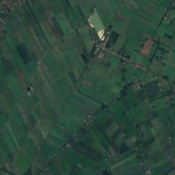
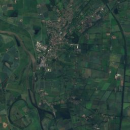
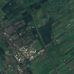
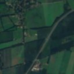
Satellite: Sentinel-2 cloudless 2016 by EOX IT Services GmbH · CC BY 4.0 · Contains modified Copernicus Sentinel data 2016
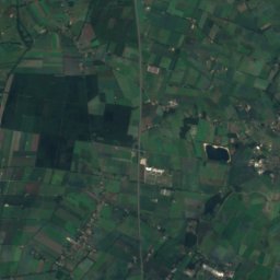
Hoeve Hofsteenge
Photo: Anthony Ruijtenbeek · CC BY 4.0 · Wikimedia Commons
Hoeve HofsteengeReport this photo · linked, not stored
Hoeve Hofsteenge
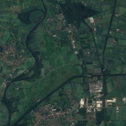
D16
Photo: Gouwenaar · Public domain · Wikimedia Commons
D16Report this photo · linked, not stored
D16
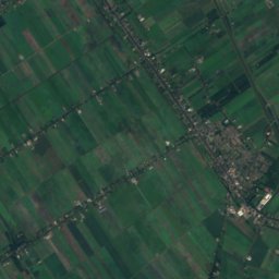
Bedrijfspand Industrieweg 38 (Assen)
Photo: Anthony Ruijtenbeek · CC BY 4.0 · Wikimedia Commons
Bedrijfspand Industrieweg 38 (Assen)Report this photo · linked, not stored
Bedrijfspand Industrieweg 38 (Assen)
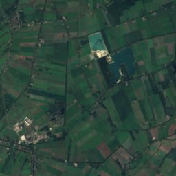
Amelte 1
Photo: Anthony Ruijtenbeek · CC BY-SA 4.0 · Wikimedia Commons
Amelte 1Report this photo · linked, not stored
Amelte 1
dolmenLoon, Drenthe

D15

Rijksmonument
Typedolmen
Built–
Best monthsMay–Julweather in Loon
53.02° N, 6.61° EUTC+1 · Central European Standard Time
When to goLoon · weather score
JanFebMarAprMayJunJulAugSepOctNovDec40October
Best timeMay–Jul
October: high / low14° / 6°
iAbout

D15 in brief

D15 is a dolmen in Loon, Drenthe, Netherlands.

It holds the designation Rijksmonument.

For a visit, the weather in Loon is best in May, June and July; in October afternoons average 14°.

Loon: weather and travel guide

Facts

Type
dolmen
Designation
Rijksmonument
Nearest town
Loon
Region
Drenthe
Coordinates
53.02250, 6.61250
iiLocation

Where to find it

iiiWhen to visit

Weather in Loon

Climate guide

Month score for sightseeing

Best May–Jul
15
Jan
19
Feb
23
Mar
53
Apr
68
May
65
Jun
64
Jul
64
Aug
63
Sep
40
Oct
16
Nov
15
Dec
ivNearby

More heritage close by

All monuments in the Netherlands
Hoeve Hofsteenge
Photo: Anthony Ruijtenbeek · CC BY 4.0 · Wikimedia CommonsReport this photo · linked, not stored

Hoeve Hofsteenge

1.4 km NE
Provincial monument
Hoeve Hofsteenge
D16
Photo: Gouwenaar · Public domain · Wikimedia CommonsReport this photo · linked, not stored

D16

2.5 km S
Rijksmonument
D16
Bedrijfspand Industrieweg 38 (Assen)
Photo: Anthony Ruijtenbeek · CC BY 4.0 · Wikimedia CommonsReport this photo · linked, not stored

Bedrijfspand Industrieweg 38 (Assen)

3.3 km SW
Provincial monument
Bedrijfspand Industrieweg 38 (Assen)
Amelte 1
Photo: Anthony Ruijtenbeek · CC BY-SA 4.0 · Wikimedia CommonsReport this photo · linked, not stored

Amelte 1

3.7 km SW
municipal monument in the Netherlands
Amelte 1
D10
Photo: Vincent van Zeijst · CC BY-SA 4.0 · Wikimedia CommonsReport this photo · linked, not stored

D10

3.7 km NE
Rijksmonument
D10
Teenslaan 3
Photo: Anthony Ruijtenbeek · CC BY-SA 4.0 · Wikimedia CommonsReport this photo · linked, not stored

Teenslaan 3

3.8 km SW
municipal monument in the Netherlands
Teenslaan 3
Around here

Loon and around

Loon
Photo: Gouwenaar · Public domain · Wikimedia CommonsReport this photo · linked, not stored

Loon

Drenthe · Netherlands
May–Julbest months
23°July high
11 maltitude
Loon

Nature

Drentsche Aa National Park
Photo: Gouwenaar · Public domain · Wikimedia CommonsReport this photo · linked, not stored
4.0 km NE

Drentsche Aa National Park

National park
Drentsche Aa National Park
Hunze
Photo: Wutsje / Wikimedia Commons · CC BY-SA 3.0 · Wikimedia CommonsReport this photo · linked, not stored
11 km NE

Hunze

River
Hunze
Zuidlaardermeer
Photo: Gouwenaar · Public domain · Wikimedia CommonsReport this photo · linked, not stored
13 km NE

Zuidlaardermeer

Lake · -2 m
Zuidlaardermeer

Mountains

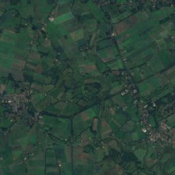
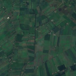
Satellite: Sentinel-2 cloudless 2016 by EOX IT Services GmbH · CC BY 4.0 · Contains modified Copernicus Sentinel data 2016
39 km E

Hasseberg

14 m
Hasseberg

Heritage

Teenslaan 3
Photo: Anthony Ruijtenbeek · CC BY-SA 4.0 · Wikimedia CommonsReport this photo · linked, not stored
2.9 km SW

Teenslaan 3

municipal monument in the Netherlands · 1950
Teenslaan 3
Amelte 1
Photo: Anthony Ruijtenbeek · CC BY-SA 4.0 · Wikimedia CommonsReport this photo · linked, not stored
2.9 km SW

Amelte 1

municipal monument in the Netherlands · 1855
Amelte 1
Bedrijfspand Industrieweg 38 (Assen)
Photo: Anthony Ruijtenbeek · CC BY 4.0 · Wikimedia CommonsReport this photo · linked, not stored
2.9 km W

Bedrijfspand Industrieweg 38 (Assen)

Provincial monument
Bedrijfspand Industrieweg 38 (Assen)

Museums

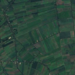
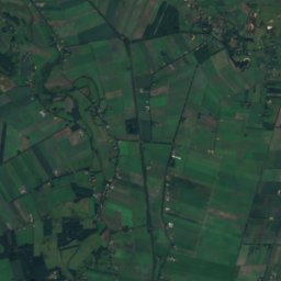
Satellite: Sentinel-2 cloudless 2016 by EOX IT Services GmbH · CC BY 4.0 · Contains modified Copernicus Sentinel data 2016
3.9 km SW

Drents Museum

1854
Drents Museum
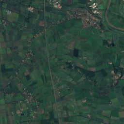
Satellite: Sentinel-2 cloudless 2016 by EOX IT Services GmbH · CC BY 4.0 · Contains modified Copernicus Sentinel data 2016
14 km N

International Wooden Shoe Museum Eelde

1990
International Wooden Shoe Museum Eelde
Museum De Buitenplaats
Photo: Wstoter · CC BY-SA 3.0 · Wikimedia CommonsReport this photo · linked, not stored
14 km N

Museum De Buitenplaats

1996
Museum De Buitenplaats