
Photo: Rijksdienst voor het Cultureel Erfgoed · CC BY-SA 4.0 · Wikimedia Commons
BlankenbergReport this photo · linked, not stored
BlankenbergReport this photo · linked, not stored

Photo: AWossink · CC BY-SA 4.0 · Wikimedia Commons
Huis VerwoldeReport this photo · linked, not stored
Huis VerwoldeHuis VerwoldeReport this photo · linked, not stored

Photo: Kasteelbeer · CC BY-SA 3.0 nl · Wikimedia Commons
Havezate OoldeReport this photo · linked, not stored
Havezate OoldeHavezate OoldeReport this photo · linked, not stored

Photo: Michielverbeek · CC BY-SA 3.0 · Wikimedia Commons
Lantaarnpaal bij Markt 26, LochemReport this photo · linked, not stored
Lantaarnpaal bij Markt 26, LochemLantaarnpaal bij Markt 26, LochemReport this photo · linked, not stored

Photo: Michielverbeek · CC BY-SA 3.0 · Wikimedia Commons
Stadhuis, LochemReport this photo · linked, not stored
Stadhuis, LochemStadhuis, LochemReport this photo · linked, not stored
buildingLaren, Gelderland
Blankenberg
Rijksmonument
Typebuilding
Built–
Best monthsMay–Jun · Sepweather in Laren
52.21° N, 6.41° EUTC+1 · Central European Standard Time
When to goLaren · weather score
Best timeMay–Jun · Sep
October: high / low15° / 7°
iAbout
Blankenberg in brief
Blankenberg is a building in Laren, Gelderland, Netherlands.
It holds the designation Rijksmonument.
For a visit, the weather in Laren is best in May, June and September; in October afternoons average 15°.
Facts
- Type
- building
- Designation
- Rijksmonument
- Nearest town
- Laren
- Region
- Gelderland
- Coordinates
- 52.20524, 6.40873
iiLocation
Where to find it
iiiWhen to visit
Climate guideWeather in Laren
Month score for sightseeing
Best May–Jun · Sep15
Jan
22
Feb
25
Mar
56
Apr
66
May
66
Jun
64
Jul
64
Aug
66
Sep
44
Oct
16
Nov
15
Dec
ivNearby
All monuments in the NetherlandsMore heritage close by
Satellite: Sentinel-2 cloudless 2016 by EOX IT Services GmbH · CC BY 4.0 · Contains modified Copernicus Sentinel data 2016
Nederlands Hervormde Kerk, Laren
3.2 km SW
Rijksmonument

Around here
Laren and around
Nature

Photo: © Günter Seggebäing, CC BY-SA 3.0 · CC BY-SA 3.0 · Wikimedia CommonsReport this photo · linked, not stored
Berkel
River

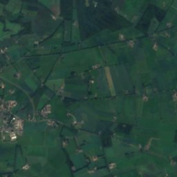
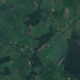
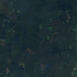
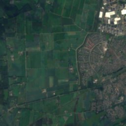
Satellite: Sentinel-2 cloudless 2016 by EOX IT Services GmbH · CC BY 4.0 · Contains modified Copernicus Sentinel data 2016
Sallandse Heuvelrug National Park
National park
Mountains

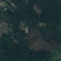
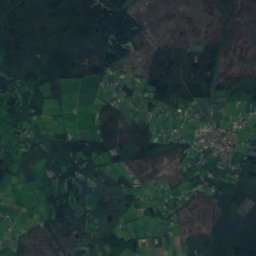
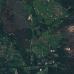
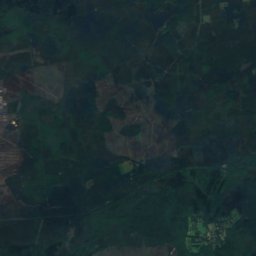
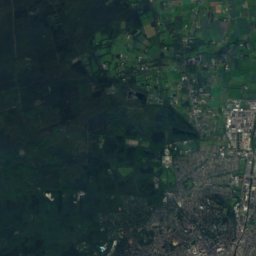
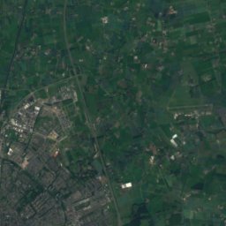
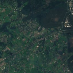
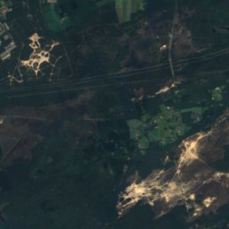
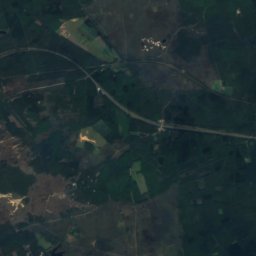
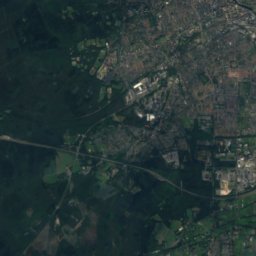
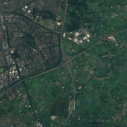
Satellite: Sentinel-2 cloudless 2016 by EOX IT Services GmbH · CC BY 4.0 · Contains modified Copernicus Sentinel data 2016
Torenberg
107 m

Heritage
Satellite: Sentinel-2 cloudless 2016 by EOX IT Services GmbH · CC BY 4.0 · Contains modified Copernicus Sentinel data 2016
Huis Verwolde
Rijksmonument
Satellite: Sentinel-2 cloudless 2016 by EOX IT Services GmbH · CC BY 4.0 · Contains modified Copernicus Sentinel data 2016
Nederlands Hervormde Kerk, Laren
Rijksmonument · 1830


