
Photo: © Vyacheslav Argenberg · CC BY 4.0 · Wikimedia Commons
BaganReport this photo · linked, not stored
BaganReport this photo · linked, not stored
archaeological siteNyaung-U, Mandalay Region
Bagan
Tentative World Heritage SiteWorld Heritage SiteBuilt 200
Typearchaeological site
Built200
Best monthsJan · Nov–Decweather in Nyaung-U
21.17° N, 94.86° EUTC+6:30 · Myanmar Time
Standing for1,826 years
built 200today 2026
When to goNyaung-U · weather score
Best timeJan · Nov–Dec
October: high / low31° / 24°
iAbout
Bagan in brief
Bagan is an archaeological site in Nyaung-U, Mandalay Region, Myanmar.
It holds the designations Tentative World Heritage Site and World Heritage Site.
The archaeological site dates from 200.
For a visit, the weather in Nyaung-U is best in January, November and December; in October afternoons average 31°.
Facts
- Type
- archaeological site
- Designation
- Tentative World Heritage Site
- World Heritage Site
- Built
- 200
- Nearest town
- Nyaung-U
- Region
- Mandalay Region
- Coordinates
- 21.17250, 94.86000
iiLocation
Where to find it
Around here
Nyaung-U and around

Nature
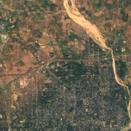
Mountains
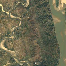
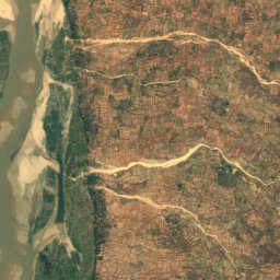
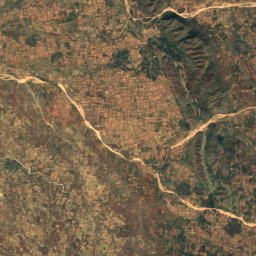
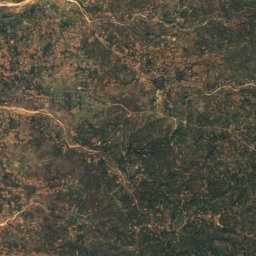
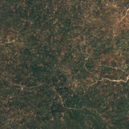
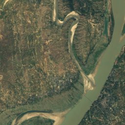
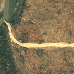
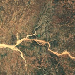
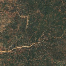
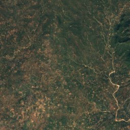
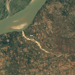
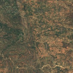
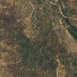
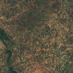
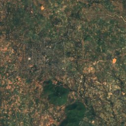
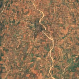
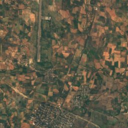
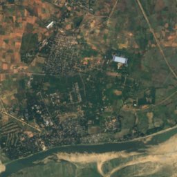
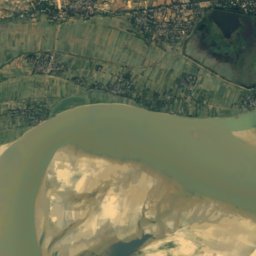
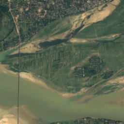
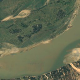
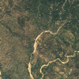
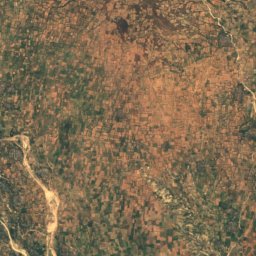
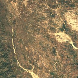
Satellite: Sentinel-2 cloudless 2016 by EOX IT Services GmbH · CC BY 4.0 · Contains modified Copernicus Sentinel data 2016
Shwedaungnyotaung
377 m
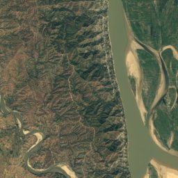
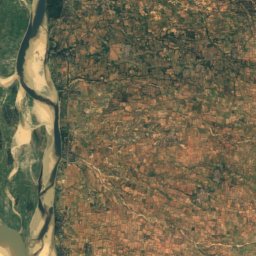
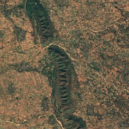
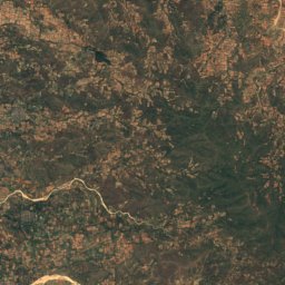
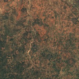
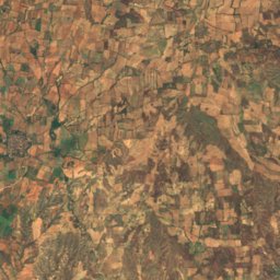
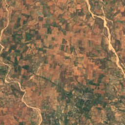
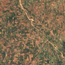
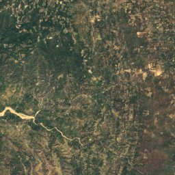
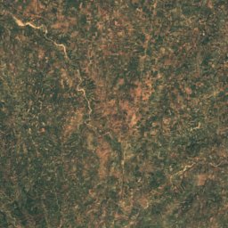
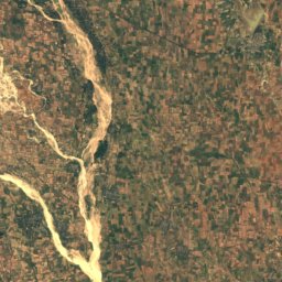
Satellite: Sentinel-2 cloudless 2016 by EOX IT Services GmbH · CC BY 4.0 · Contains modified Copernicus Sentinel data 2016
Pangonbin Taung
337 m
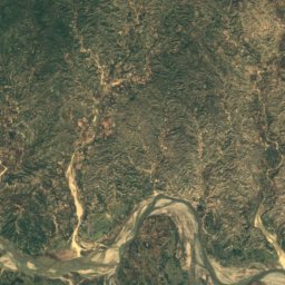
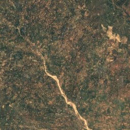
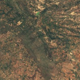
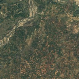
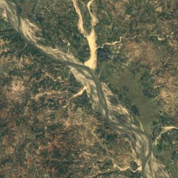
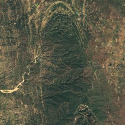
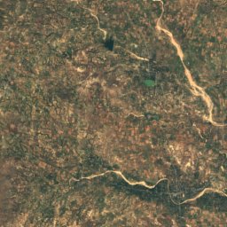
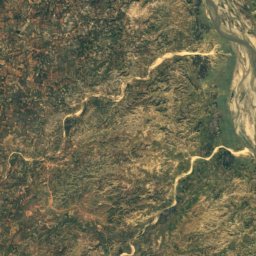
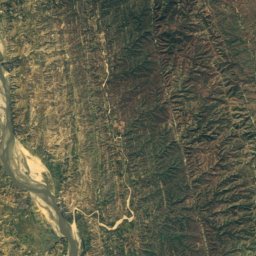
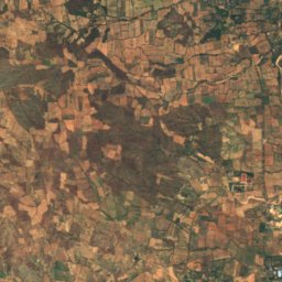
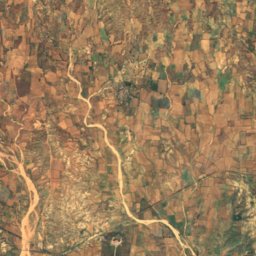
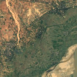
Satellite: Sentinel-2 cloudless 2016 by EOX IT Services GmbH · CC BY 4.0 · Contains modified Copernicus Sentinel data 2016
Tangyi Taung
310 m


