



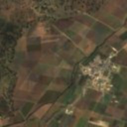


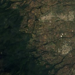
Satellite: Sentinel-2 cloudless 2016 by EOX IT Services GmbH · CC BY 4.0 · Contains modified Copernicus Sentinel data 2016
archaeological siteSan Felipe Sultepec, Tlaxcala
Tecoaque
Tentative World Heritage Site
Typearchaeological site
Built–
Best monthsJan–Marweather in San Felipe Sultepec
19.58° N, 98.62° WUTC−6 · Central Standard Time
When to goSan Felipe Sultepec · weather score
Best timeJan–Mar
October: high / low22° / 9°
iAbout
Tecoaque in brief
Tecoaque is an archaeological site in San Felipe Sultepec, Tlaxcala, Mexico. Aztec town.
It holds the designation Tentative World Heritage Site.
For a visit, the weather in San Felipe Sultepec is best in January, February and March; in October afternoons average 22°.
Facts
- Type
- archaeological site
- Designation
- Tentative World Heritage Site
- Nearest town
- San Felipe Sultepec
- Region
- Tlaxcala
- Coordinates
- 19.58495, -98.62489
iiLocation
Where to find it
iiiWhen to visit
Climate guideWeather in San Felipe Sultepec
Month score for sightseeing
Best Jan–Mar78
Jan
84
Feb
87
Mar
74
Apr
66
May
59
Jun
58
Jul
58
Aug
57
Sep
62
Oct
75
Nov
77
Dec
Around here
San Felipe Sultepec and around
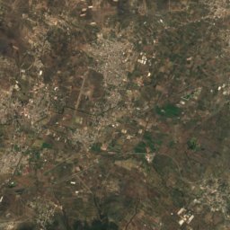
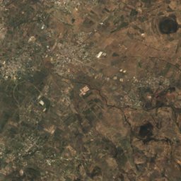
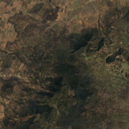
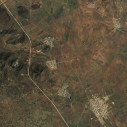
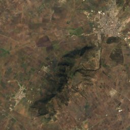
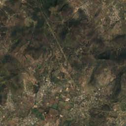
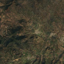
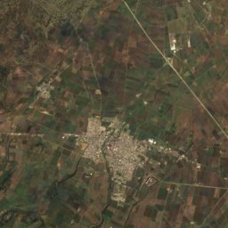
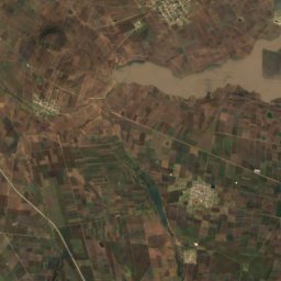
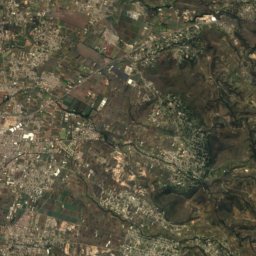
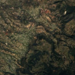
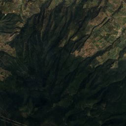
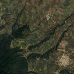
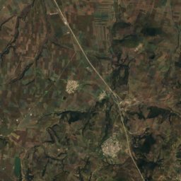
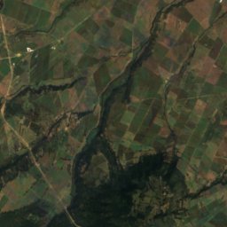
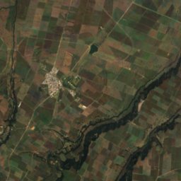
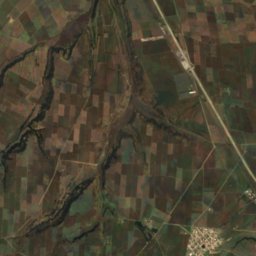
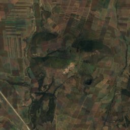
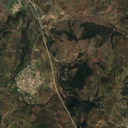
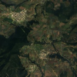
Satellite: Sentinel-2 cloudless 2016 by EOX IT Services GmbH · CC BY 4.0 · Contains modified Copernicus Sentinel data 2016
San Felipe Sultepec
Tlaxcala · Mexico
Jan–Marbest months
24°July high
2,607 maltitude
Nature

Molino de Flores Nezahualcóyotl National Park
National park
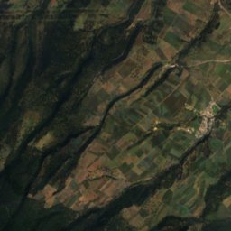
Mountains

Museums


Satellite: Sentinel-2 cloudless 2016 by EOX IT Services GmbH · CC BY 4.0 · Contains modified Copernicus Sentinel data 2016
Museo de Sitio Zultépec-Tecoaque
2012