
locality of MexicoTecate, Baja California
Tecate
Pueblos mágicosBuilt 1861
Typelocality of Mexico
Built1861
Best monthsApr–May · Novweather in Tecate
32.57° N, 116.63° WUTC−7 · Pacific Daylight Time
Standing for165 years
built 1861today 2026
When to goTecate · weather score
Best timeApr–May · Nov
October: high / low27° / 12°
iAbout
Tecate in brief
Tecate is a locality of mexico in Tecate, Baja California, Mexico.
It holds the designation Pueblos mágicos.
The locality of mexico dates from 1861.
For a visit, the weather in Tecate is best in April, May and November; in October afternoons average 27°.
Facts
- Type
- locality of Mexico
- Designation
- Pueblos mágicos
- Built
- 1861
- Nearest town
- Tecate
- Region
- Baja California
- Coordinates
- 32.57278, -116.62667
iiLocation
Where to find it
Around here
Tecate and around

Nature
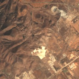
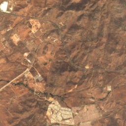
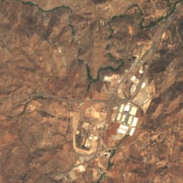
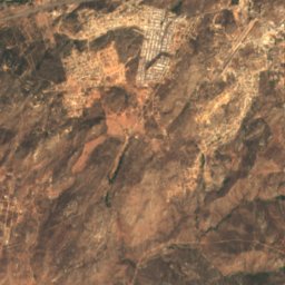
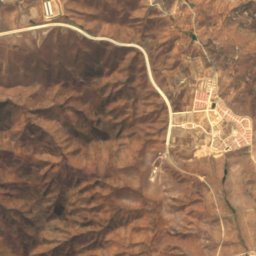
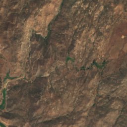
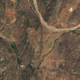
Satellite: Sentinel-2 cloudless 2016 by EOX IT Services GmbH · CC BY 4.0 · Contains modified Copernicus Sentinel data 2016
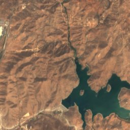
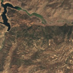
El Carrizo Reservoir
Lake · 280 m
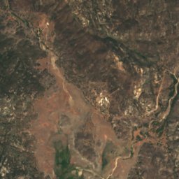
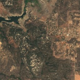
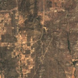
Satellite: Sentinel-2 cloudless 2016 by EOX IT Services GmbH · CC BY 4.0 · Contains modified Copernicus Sentinel data 2016
Morena Reservoir
Lake · 2,999 ft
Satellite: Sentinel-2 cloudless 2016 by EOX IT Services GmbH · CC BY 4.0 · Contains modified Copernicus Sentinel data 2016
Goat Island, Campo
Island
Mountains
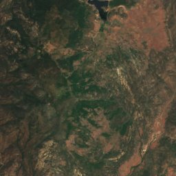
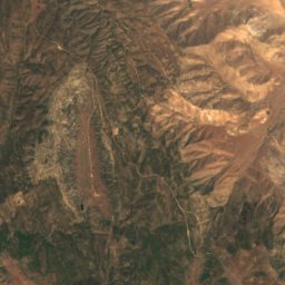
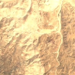
Satellite: Sentinel-2 cloudless 2016 by EOX IT Services GmbH · CC BY 4.0 · Contains modified Copernicus Sentinel data 2016
Cuyapaipe Mountain
6,387 ft · Laguna Mountains
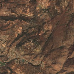
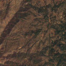
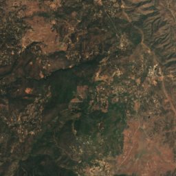
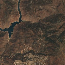
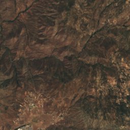
Satellite: Sentinel-2 cloudless 2016 by EOX IT Services GmbH · CC BY 4.0 · Contains modified Copernicus Sentinel data 2016
Oakzanita Peak
5,056 ft

Photo: Ken Lund from Reno, Nevada, USA · CC BY-SA 2.0 · Wikimedia CommonsReport this photo · linked, not stored
Viejas Mountain
4,189 ft
Heritage

Museums




Satellite: Sentinel-2 cloudless 2016 by EOX IT Services GmbH · CC BY 4.0 · Contains modified Copernicus Sentinel data 2016
Museo Comunitario Tecate
1997