
Photo: Ljuba brank at Slovenian Wikipedia · CC BY-SA 3.0 · Wikimedia Commons
PalenqueReport this photo · linked, not stored
PalenqueReport this photo · linked, not stored

Photo: Jan Harenburg · CC BY 4.0 · Wikimedia Commons
Temple of the InscriptionsReport this photo · linked, not stored
Temple of the InscriptionsTemple of the InscriptionsReport this photo · linked, not stored
archaeological sitePalenque, Chiapas
Palenque
Cultural property under special protectionWorld Heritage Site
Typearchaeological site
Built–
Best monthsJan–Marweather in Palenque
17.48° N, 92.05° WUTC−6 · Central Standard Time
When to goPalenque · weather score
Best timeJan–Mar
October: high / low29° / 22°
iAbout
Palenque in brief
Palenque is an archaeological site in Palenque, Chiapas, Mexico.
It holds the designations Cultural property under special protection and World Heritage Site.
For a visit, the weather in Palenque is best in January, February and March; in October afternoons average 29°.
iiLocation
Where to find it
ivNearby
All monuments in MexicoMore heritage close by
Around here
Palenque and around

Nature

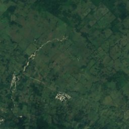
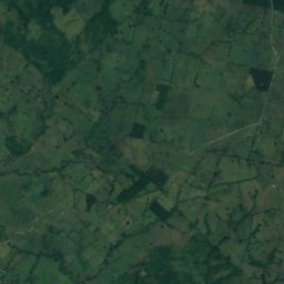
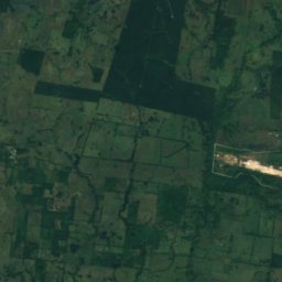
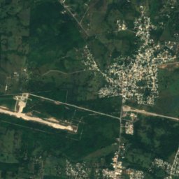
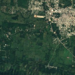
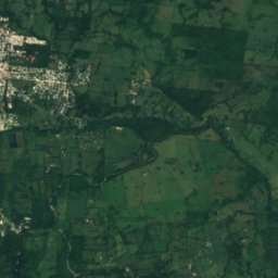
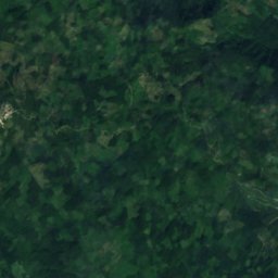
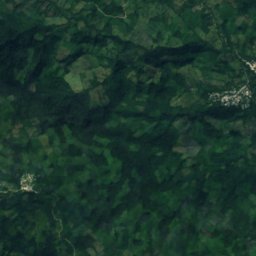
Satellite: Sentinel-2 cloudless 2016 by EOX IT Services GmbH · CC BY 4.0 · Contains modified Copernicus Sentinel data 2016
Cascada La Sombrilla
Waterfall · 84 m
Satellite: Sentinel-2 cloudless 2016 by EOX IT Services GmbH · CC BY 4.0 · Contains modified Copernicus Sentinel data 2016
Cascada Motiepa
Waterfall · 117 m
Heritage

Satellite: Sentinel-2 cloudless 2016 by EOX IT Services GmbH · CC BY 4.0 · Contains modified Copernicus Sentinel data 2016
Palenque, Chiapas
Pueblos mágicos · 1567
Museums





Satellite: Sentinel-2 cloudless 2016 by EOX IT Services GmbH · CC BY 4.0 · Contains modified Copernicus Sentinel data 2016
Museo de Sitio de Palenque Alberto Ruz L´Huillier
1994