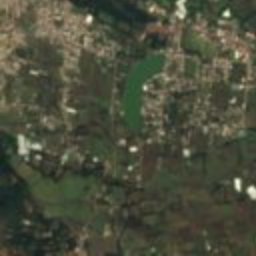
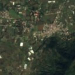
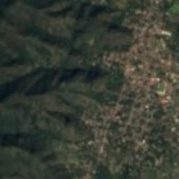
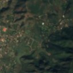

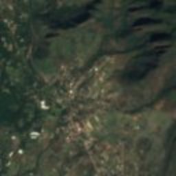
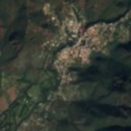
Satellite: Sentinel-2 cloudless 2016 by EOX IT Services GmbH · CC BY 4.0 · Contains modified Copernicus Sentinel data 2016
locality of MexicoMalinalco, México
Malinalco
Pueblos mágicos
Typelocality of Mexico
Built–
Best monthsJan · Nov–Decweather in Malinalco
18.95° N, 99.50° WUTC−6 · Central Standard Time
When to goMalinalco · weather score
Best timeJan · Nov–Dec
October: high / low25° / 13°
iAbout
Malinalco in brief
Malinalco is a locality of mexico in Malinalco, México, Mexico.
It holds the designation Pueblos mágicos.
For a visit, the weather in Malinalco is best in January, November and December; in October afternoons average 25°.
iiLocation
Where to find it
iiiWhen to visit
Climate guideWeather in Malinalco
Month score for sightseeing
Best Jan · Nov–Dec95
Jan
81
Feb
80
Mar
67
Apr
53
May
60
Jun
55
Jul
56
Aug
60
Sep
66
Oct
92
Nov
98
Dec
Around here
Malinalco and around
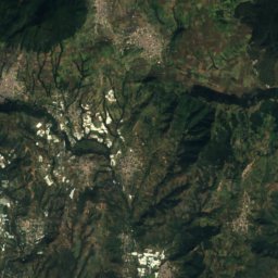
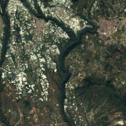
Nature
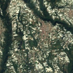
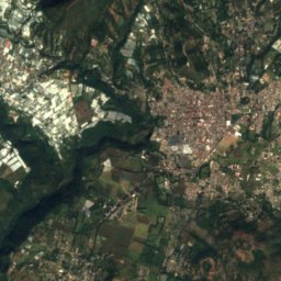
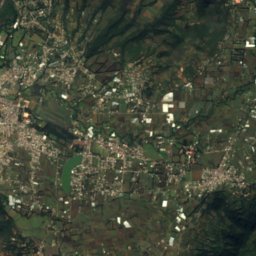
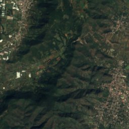
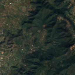
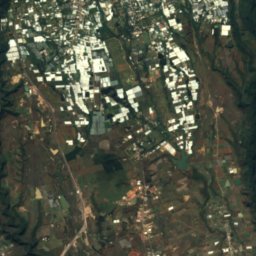
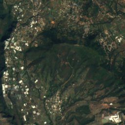
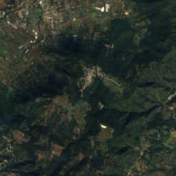
Satellite: Sentinel-2 cloudless 2016 by EOX IT Services GmbH · CC BY 4.0 · Contains modified Copernicus Sentinel data 2016
Desierto del Carmen National Park
National park

Mountains

Photo: México en Fotos, A.C. · CC BY-SA 2.0 · Wikimedia CommonsReport this photo · linked, not stored
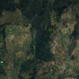
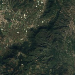
Nevado de Toluca
4,680 m · Trans-Mexican Volcanic Belt
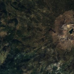
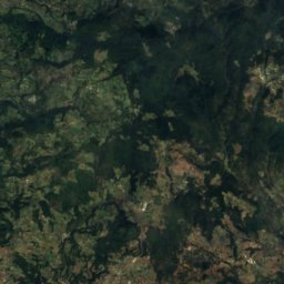
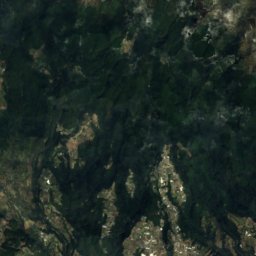
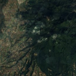
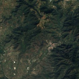
Satellite: Sentinel-2 cloudless 2016 by EOX IT Services GmbH · CC BY 4.0 · Contains modified Copernicus Sentinel data 2016
Pico El Fraile, México
4,645 m
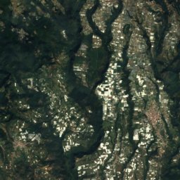
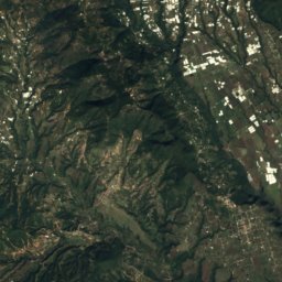
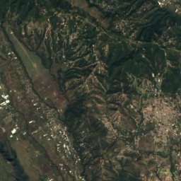
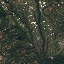
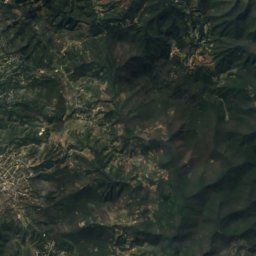
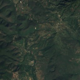
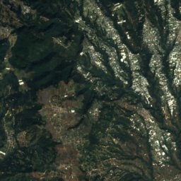
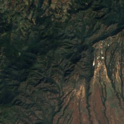
Satellite: Sentinel-2 cloudless 2016 by EOX IT Services GmbH · CC BY 4.0 · Contains modified Copernicus Sentinel data 2016
La Malinche
4,462 m
Museums

Satellite: Sentinel-2 cloudless 2016 by EOX IT Services GmbH · CC BY 4.0 · Contains modified Copernicus Sentinel data 2016
Museo Universitario Dr. Luis Mario Schneider
2001
Satellite: Sentinel-2 cloudless 2016 by EOX IT Services GmbH · CC BY 4.0 · Contains modified Copernicus Sentinel data 2016
Sala Introductoria a la Zona Arqueológica de Malinalco




Satellite: Sentinel-2 cloudless 2016 by EOX IT Services GmbH · CC BY 4.0 · Contains modified Copernicus Sentinel data 2016
Museo Arqueológico Colonial de Ocuilan
1994