
locality of MexicoFrontera, Tabasco
Frontera
Pueblos mágicosBuilt 1780
Typelocality of Mexico
Built1780
Best monthsJan–Marweather in Frontera
18.53° N, 92.65° WUTC−6 · Central Standard Time
Standing for246 years
built 1780today 2026
When to goFrontera · weather score
Best timeJan–Mar
October: high / low30° / 25°
iAbout
Frontera in brief
Frontera is a locality of mexico in Frontera, Tabasco, Mexico.
It holds the designation Pueblos mágicos.
The locality of mexico dates from 1780.
For a visit, the weather in Frontera is best in January, February and March; in October afternoons average 30°.
iiLocation
Where to find it
Around here
Frontera and around

Nature







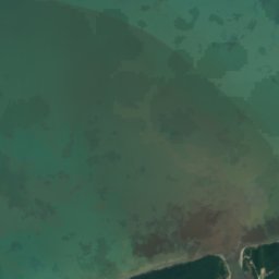
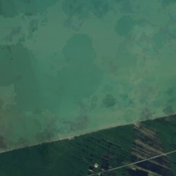
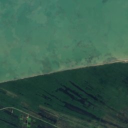
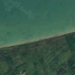
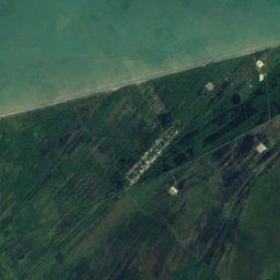
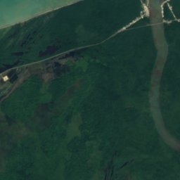
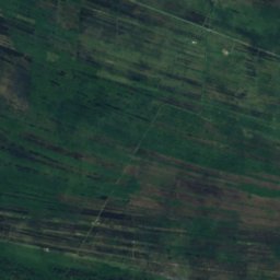
Satellite: Sentinel-2 cloudless 2016 by EOX IT Services GmbH · CC BY 4.0 · Contains modified Copernicus Sentinel data 2016
San Pedro y San Pablo River
River


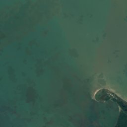
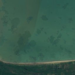
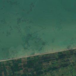

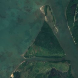

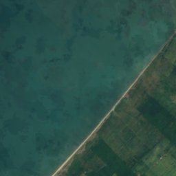
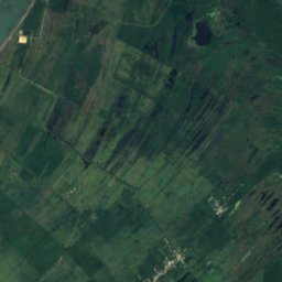
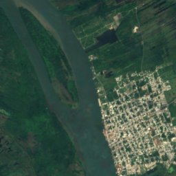
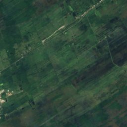


Satellite: Sentinel-2 cloudless 2016 by EOX IT Services GmbH · CC BY 4.0 · Contains modified Copernicus Sentinel data 2016
Isla Punta del Buey
Island · 9 m