
locality of MexicoCiudad Mier, Tamaulipas
Ciudad Mier
Pueblos mágicosBuilt 1753
Typelocality of Mexico
Built1753
Best monthsJan–Feb · Decweather in Ciudad Mier
26.43° N, 99.15° WUTC−6 · Central Standard Time
Standing for273 years
built 1753today 2026
When to goCiudad Mier · weather score
Best timeJan–Feb · Dec
October: high / low32° / 19°
iAbout
Ciudad Mier in brief
Ciudad Mier is a locality of mexico in Ciudad Mier, Tamaulipas, Mexico.
It holds the designation Pueblos mágicos.
The locality of mexico dates from 1753.
For a visit, the weather in Ciudad Mier is best in January, February and December; in October afternoons average 32°.
Facts
- Type
- locality of Mexico
- Designation
- Pueblos mágicos
- Built
- 1753
- Nearest town
- Ciudad Mier
- Region
- Tamaulipas
- Coordinates
- 26.43056, -99.14861
iiLocation
Where to find it
iiiWhen to visit
Climate guideWeather in Ciudad Mier
Month score for sightseeing
Best Jan–Feb · Dec86
Jan
89
Feb
74
Mar
57
Apr
41
May
40
Jun
39
Jul
40
Aug
25
Sep
54
Oct
83
Nov
87
Dec
Around here
Ciudad Mier and around

Nature

Photo: Image Science and Analysis Laboratory, NASA-Johnson Space Center. "The Gateway t · Public domain · Wikimedia CommonsReport this photo · linked, not stored
Falcon International Reservoir
Lake · 262 ft
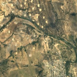
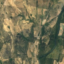
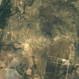
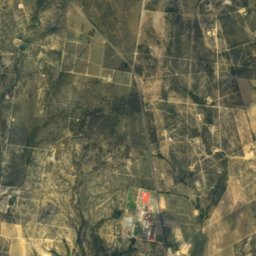
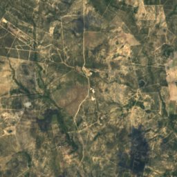
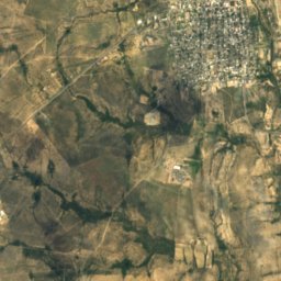
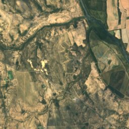
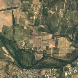
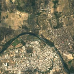
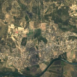
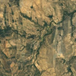
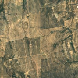
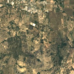
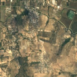
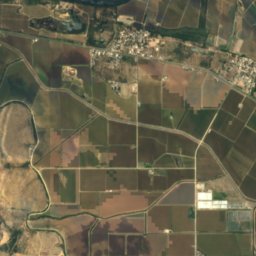
Satellite: Sentinel-2 cloudless 2016 by EOX IT Services GmbH · CC BY 4.0 · Contains modified Copernicus Sentinel data 2016
Fronton Island, Tamaulipas
Island · 54 m
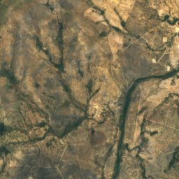
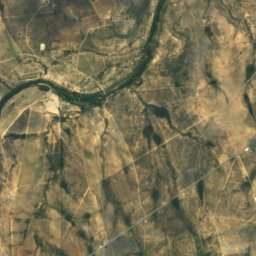
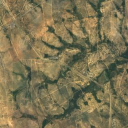
Satellite: Sentinel-2 cloudless 2016 by EOX IT Services GmbH · CC BY 4.0 · Contains modified Copernicus Sentinel data 2016
Isla Frontón
Island
Heritage


Satellite: Sentinel-2 cloudless 2016 by EOX IT Services GmbH · CC BY 4.0 · Contains modified Copernicus Sentinel data 2016
Roma Historic District
National Register of Historic Places listed place