
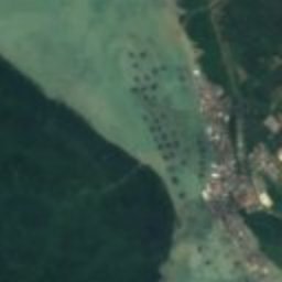





































Satellite: Sentinel-2 cloudless 2016 by EOX IT Services GmbH · CC BY 4.0 · Contains modified Copernicus Sentinel data 2016

Photo: D.W. Fisher-Freberg · CC BY-SA 3.0 · Wikimedia Commons
Tanjung Piai National ParkReport this photo · linked, not stored
Tanjung Piai National ParkTanjung Piai National ParkReport this photo · linked, not stored
capePekan Serkat, Johor
Cape Piai
Ramsar site
Typecape
Built–
Best monthsFeb · Jun–Julweather in Pekan Serkat
1.27° N, 103.51° EUTC+8 · Malaysia Time
When to goPekan Serkat · weather score
Best timeFeb · Jun–Jul
October: high / low28° / 26°
iAbout
Cape Piai in brief
Cape Piai is a cape in Pekan Serkat, Johor, Malaysia.
It holds the designation Ramsar site.
For a visit, the weather in Pekan Serkat is best in February, June and July; in October afternoons average 28°.
Facts
- Type
- cape
- Designation
- Ramsar site
- Nearest town
- Pekan Serkat
- Region
- Johor
- Coordinates
- 1.26611, 103.51083
iiLocation
Where to find it
iiiWhen to visit
Climate guideWeather in Pekan Serkat
Month score for sightseeing
Best Feb · Jun–Jul43
Jan
44
Feb
43
Mar
41
Apr
41
May
44
Jun
44
Jul
44
Aug
43
Sep
40
Oct
39
Nov
39
Dec
ivNearby
All monuments in MalaysiaMore heritage close by
Tanjung Piai National Park
0.3 km N
national natural historic site of Malaysia
Around here
Pekan Serkat and around
Nature


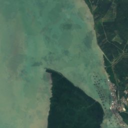
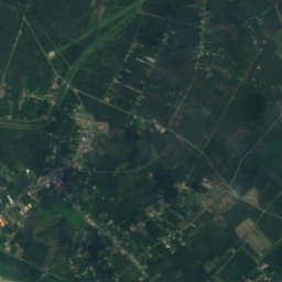
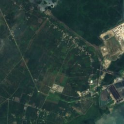
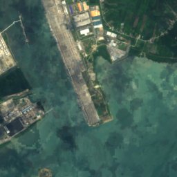




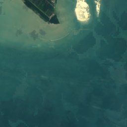

Satellite: Sentinel-2 cloudless 2016 by EOX IT Services GmbH · CC BY 4.0 · Contains modified Copernicus Sentinel data 2016
Tanjung Piai National Park
National park

Mountains

Heritage

Photo: Sengkang at English Wikipedia · Public domain · Wikimedia CommonsReport this photo · linked, not stored
Kukup Island
Ramsar site











Satellite: Sentinel-2 cloudless 2016 by EOX IT Services GmbH · CC BY 4.0 · Contains modified Copernicus Sentinel data 2016
Tanjung Piai National Park
national natural historic site of Malaysia


Satellite: Sentinel-2 cloudless 2016 by EOX IT Services GmbH · CC BY 4.0 · Contains modified Copernicus Sentinel data 2016
Pulai River
Ramsar site


