
Photo: Hejnjahns · CC BY-SA 4.0 · Wikimedia Commons
Schuttbourg CastleReport this photo · linked, not stored
Schuttbourg CastleReport this photo · linked, not stored
castleKautenbach, Wiltz
Schuttbourg Castle
Built 1400
Typecastle
Built1400
Best monthsJun–Jul · Sepweather in Kautenbach
49.96° N, 6.03° EUTC+2 · Central European Summer Time
Standing for626 years
built 1400today 2026
When to goKautenbach · weather score
Best timeJun–Jul · Sep
October: high / low14° / 6°
iAbout
Schuttbourg Castle in brief
Schuttbourg Castle is a castle in Kautenbach, Wiltz, Luxembourg. Castle in Luxenbourg.
The castle dates from 1400.
For a visit, the weather in Kautenbach is best in June, July and September; in October afternoons average 14°.
Facts
- Type
- castle
- Built
- 1400
- Nearest town
- Kautenbach
- Region
- Wiltz
- Coordinates
- 49.96450, 6.02630
iiLocation
Where to find it
iiiWhen to visit
Climate guideWeather in Kautenbach
Month score for sightseeing
Best Jun–Jul · Sep13
Jan
18
Feb
20
Mar
51
Apr
63
May
65
Jun
65
Jul
65
Aug
72
Sep
37
Oct
14
Nov
12
Dec
Around here
Kautenbach and around

Nature

Photo: Les Meloures at Luxembourgish Wikipedia · CC BY-SA 1.0 · Wikimedia CommonsReport this photo · linked, not stored
Wiltz
River

Photo: Jwh at Wikipedia Luxembourg · CC BY-SA 3.0 lu · Wikimedia CommonsReport this photo · linked, not stored
Clerve
River · 257 m

Mountains

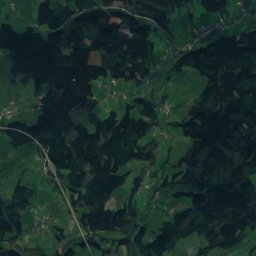
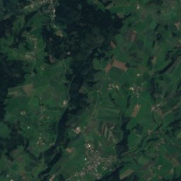
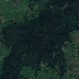
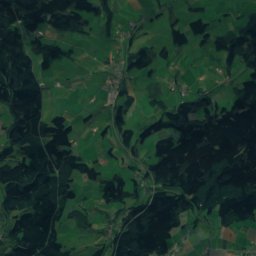
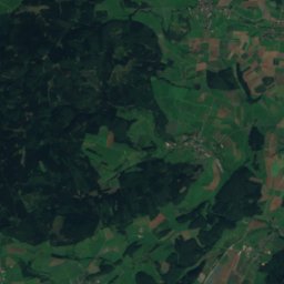
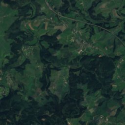
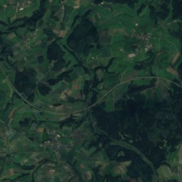
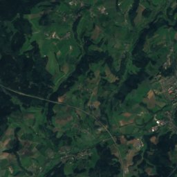
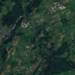
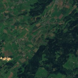
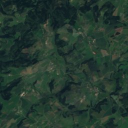
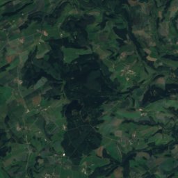
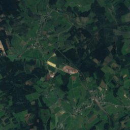
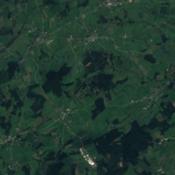
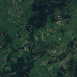
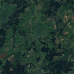
Satellite: Sentinel-2 cloudless 2016 by EOX IT Services GmbH · CC BY 4.0 · Contains modified Copernicus Sentinel data 2016
Hardtkopf (Eifel)
602 m · Schneifel
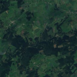
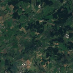
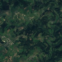
Satellite: Sentinel-2 cloudless 2016 by EOX IT Services GmbH · CC BY 4.0 · Contains modified Copernicus Sentinel data 2016
Eilen Berg
500 m
Heritage


Museums

National Museum of Military History
Military museum · 1984


