

Photo: Eli+ · Public domain · Wikimedia Commons
Temple of EshmunReport this photo · linked, not stored
Temple of EshmunTemple of EshmunReport this photo · linked, not stored
big citySidon, South Governorate
Sidon
Tentative World Heritage Site
Typebig city
Built–
Best monthsApr–Junweather in Sidon
33.56° N, 35.38° EUTC+3 · Eastern European Summer Time
When to goSidon · weather score
Best timeApr–Jun
October: high / low28° / 18°
iAbout
Sidon in brief
Sidon is a big city in Sidon, South Governorate, Lebanon.
It holds the designation Tentative World Heritage Site.
For a visit, the weather in Sidon is best in April, May and June; in October afternoons average 28°.
Facts
- Type
- big city
- Designation
- Tentative World Heritage Site
- Nearest town
- Sidon
- Region
- South Governorate
- Coordinates
- 33.56056, 35.37583
iiLocation
Where to find it
ivNearby
All monuments in LebanonMore heritage close by
Around here
Sidon and around

Nature


Photo: Charles William Meredith van de Velde · Public domain · Wikimedia CommonsReport this photo · linked, not stored
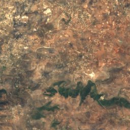
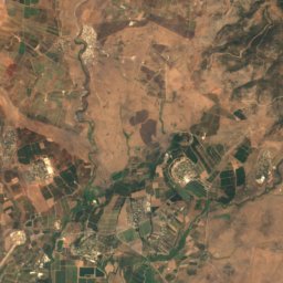
Zahrani River
River



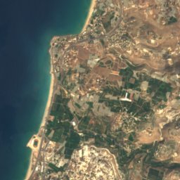


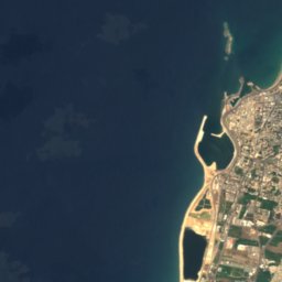
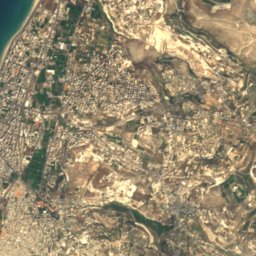
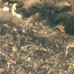


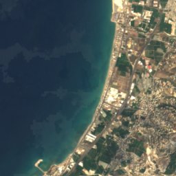
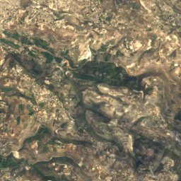
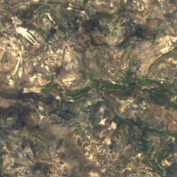
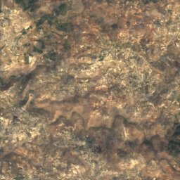
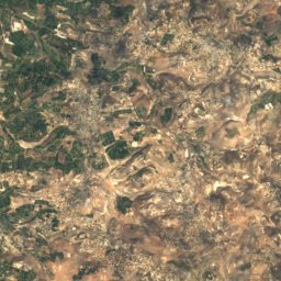
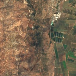
Satellite: Sentinel-2 cloudless 2016 by EOX IT Services GmbH · CC BY 4.0 · Contains modified Copernicus Sentinel data 2016
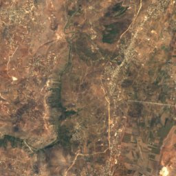
Sayniq River
River
Mountains

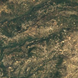
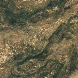
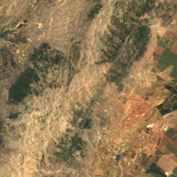
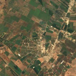
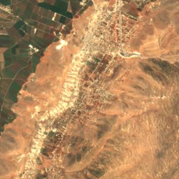
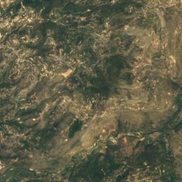
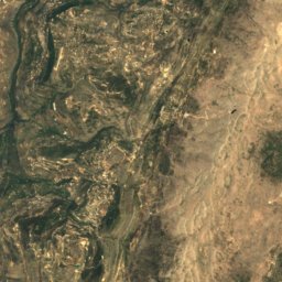
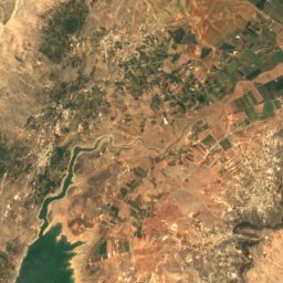
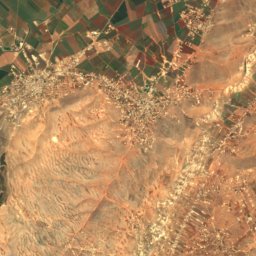
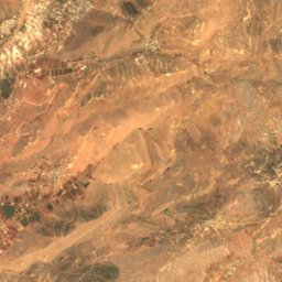
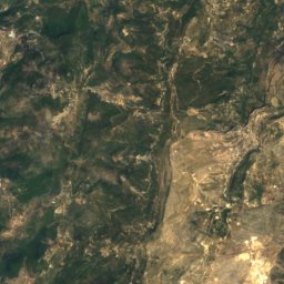
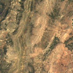
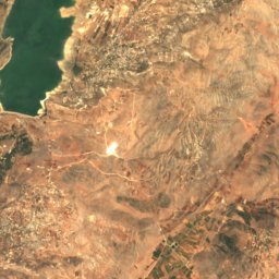
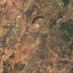
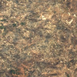
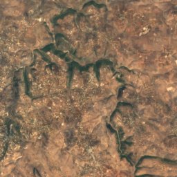
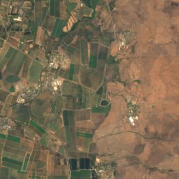
Satellite: Sentinel-2 cloudless 2016 by EOX IT Services GmbH · CC BY 4.0 · Contains modified Copernicus Sentinel data 2016
Aach ed Djâjé
1,304 m
Heritage
Museums

Photo: Personal photographer of the Soap Museum · CC BY-SA 4.0 · Wikimedia CommonsReport this photo · linked, not stored
Sidon Soap Museum









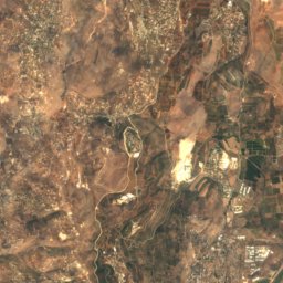
Satellite: Sentinel-2 cloudless 2016 by EOX IT Services GmbH · CC BY 4.0 · Contains modified Copernicus Sentinel data 2016