
Photo: Raidarmax · CC BY-SA 3.0 · Wikimedia Commons
Aberdare RangeReport this photo · linked, not stored
Aberdare RangeReport this photo · linked, not stored
mountain rangeNdunyu Njeru, Nyandarua County
Aberdare Range
Tentative World Heritage Site
Typemountain range
Built–
Best monthsJan–Marweather in Ndunyu Njeru
0.42° S, 36.63° EUTC+3 · East Africa Time
When to goNdunyu Njeru · weather score
Best timeJan–Mar
October: high / low18° / 9°
iAbout
Aberdare Range in brief
Aberdare Range is a mountain range in Ndunyu Njeru, Nyandarua County, Kenya.
It holds the designation Tentative World Heritage Site.
For a visit, the weather in Ndunyu Njeru is best in January, February and March; in October afternoons average 18°.
Facts
- Type
- mountain range
- Designation
- Tentative World Heritage Site
- Nearest town
- Ndunyu Njeru
- Region
- Nyandarua County
- Coordinates
- -0.41667, 36.63333
iiLocation
Where to find it
iiiWhen to visit
Climate guideWeather in Ndunyu Njeru
Month score for sightseeing
Best Jan–Mar74
Jan
78
Feb
66
Mar
60
Apr
62
May
57
Jun
50
Jul
53
Aug
65
Sep
63
Oct
61
Nov
66
Dec
Around here
Ndunyu Njeru and around

Nature

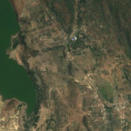
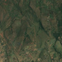
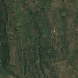
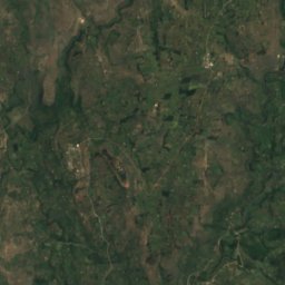
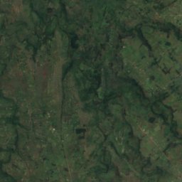
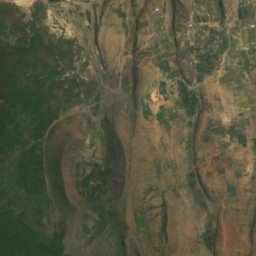
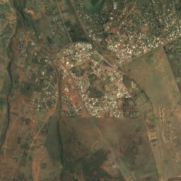
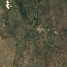
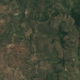
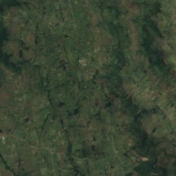
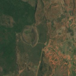
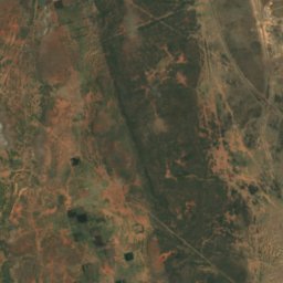
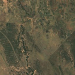
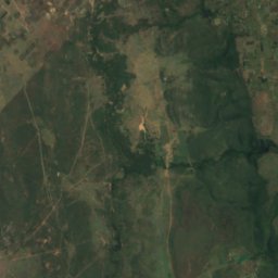
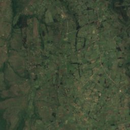
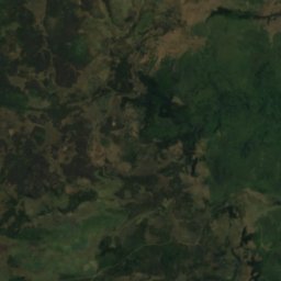
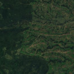
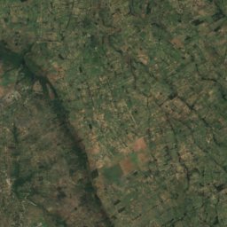
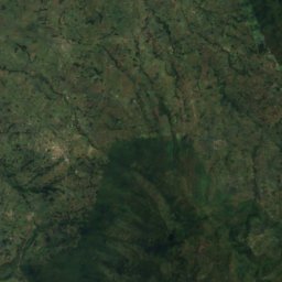
Satellite: Sentinel-2 cloudless 2016 by EOX IT Services GmbH · CC BY 4.0 · Contains modified Copernicus Sentinel data 2016
Turasha River
River
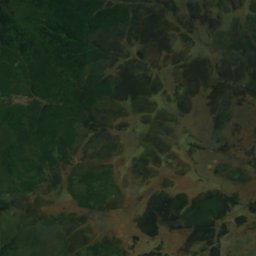
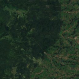
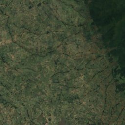
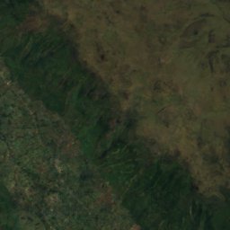
Satellite: Sentinel-2 cloudless 2016 by EOX IT Services GmbH · CC BY 4.0 · Contains modified Copernicus Sentinel data 2016
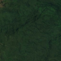
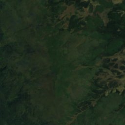
Gura Waterfall
Waterfall
Mountains

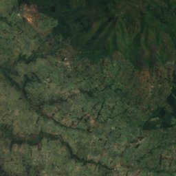
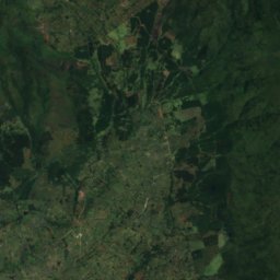
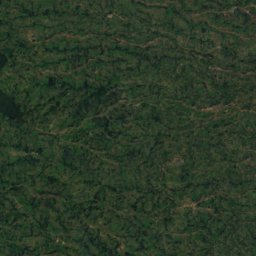
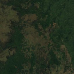
Satellite: Sentinel-2 cloudless 2016 by EOX IT Services GmbH · CC BY 4.0 · Contains modified Copernicus Sentinel data 2016
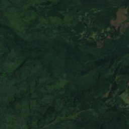
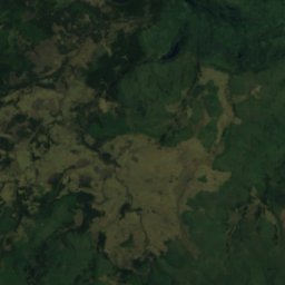
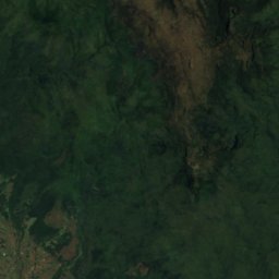
Mount Kinangop
3,906 m · Aberdare Range
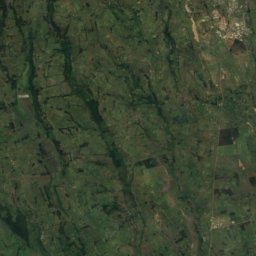
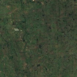
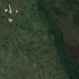
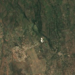
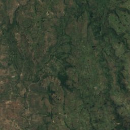


Satellite: Sentinel-2 cloudless 2016 by EOX IT Services GmbH · CC BY 4.0 · Contains modified Copernicus Sentinel data 2016
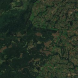
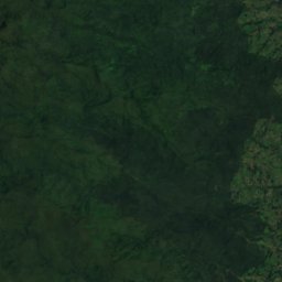
Mount Kipipiri
3,349 m