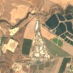
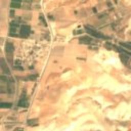
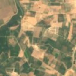
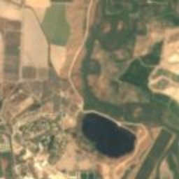
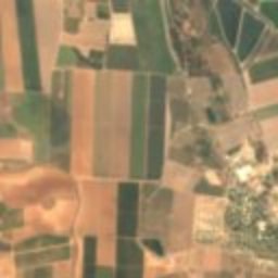
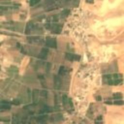
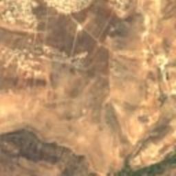
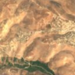
Satellite: Sentinel-2 cloudless 2016 by EOX IT Services GmbH · CC BY 4.0 · Contains modified Copernicus Sentinel data 2016
archaeological sitePella, Irbid
Pella
Tentative World Heritage Site
Typearchaeological site
Built–
Best monthsFeb–Mar · Novweather in Pella
32.45° N, 35.62° EUTC+3
When to goPella · weather score
Best timeFeb–Mar · Nov
October: high / low32° / 18°
iAbout
Pella in brief
Pella is an archaeological site in Pella, Irbid, Jordan.
It holds the designation Tentative World Heritage Site.
For a visit, the weather in Pella is best in February, March and November; in October afternoons average 32°.
iiLocation
Where to find it
iiiWhen to visit
Climate guideWeather in Pella
Month score for sightseeing
Best Feb–Mar · Nov72
Jan
78
Feb
84
Mar
78
Apr
64
May
58
Jun
58
Jul
58
Aug
57
Sep
64
Oct
84
Nov
78
Dec
Around here
Pella and around
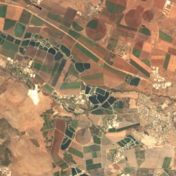
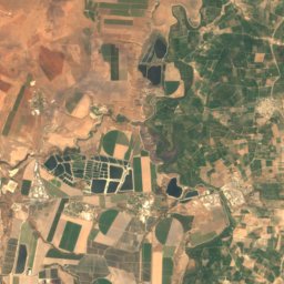
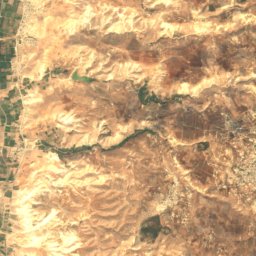
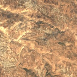
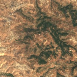
Nature


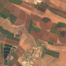
Mountains
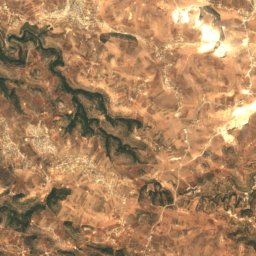
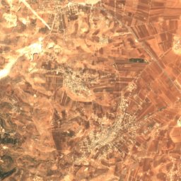
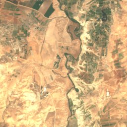
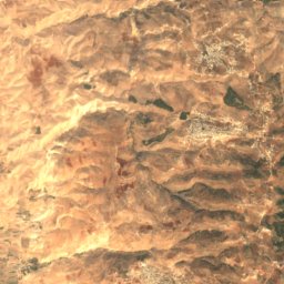
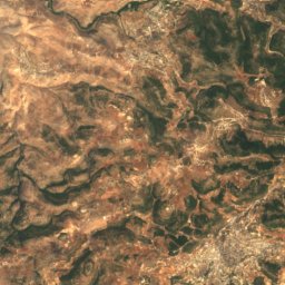
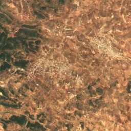
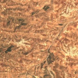
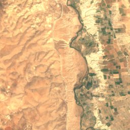
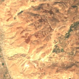
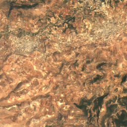
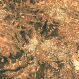
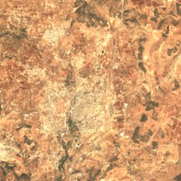
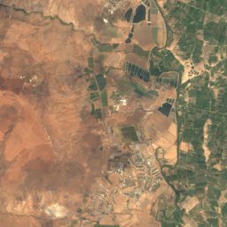
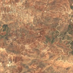
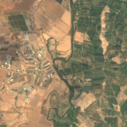
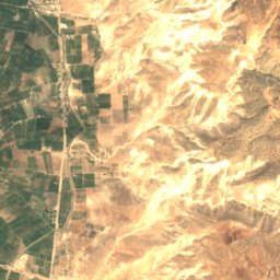
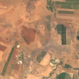
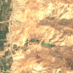
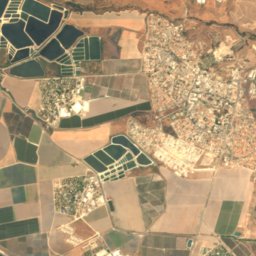
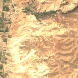
Satellite: Sentinel-2 cloudless 2016 by EOX IT Services GmbH · CC BY 4.0 · Contains modified Copernicus Sentinel data 2016
Mount Umm Daraj
1,247 m


Heritage

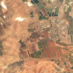
Photo: Roded Shlomo Pikiwiki Israel · CC BY 2.5 · Wikimedia CommonsReport this photo · linked, not stored
Beit She'an
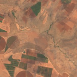
national park of Israel · 3999 BC

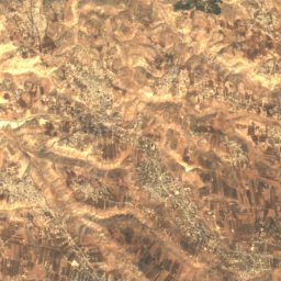
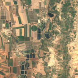
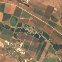
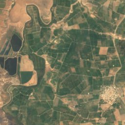
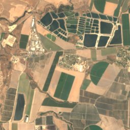
Satellite: Sentinel-2 cloudless 2016 by EOX IT Services GmbH · CC BY 4.0 · Contains modified Copernicus Sentinel data 2016
Beit She'an former Railway Station
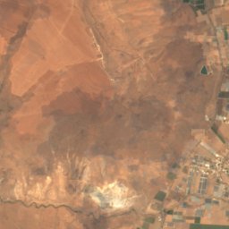
heritage site in Israel · 1904
Museums
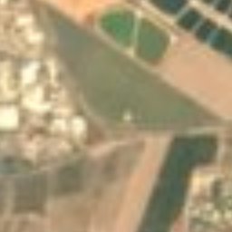


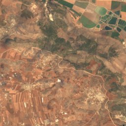
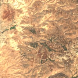
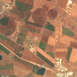
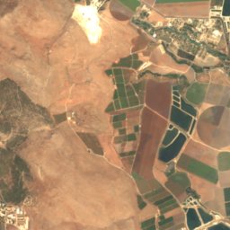
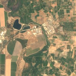
Satellite: Sentinel-2 cloudless 2016 by EOX IT Services GmbH · CC BY 4.0 · Contains modified Copernicus Sentinel data 2016