
Photo: Qurren · CC BY-SA 4.0 · Wikimedia Commons
Mitsuke SchoolReport this photo · linked, not stored
Mitsuke SchoolReport this photo · linked, not stored
 Iwata Bunko

Photo: Qurren · CC BY-SA 4.0 · Wikimedia Commons
Tōtōmi Kokubun-ji TempleReport this photo · linked, not stored
Tōtōmi Kokubun-ji TempleTōtōmi Kokubun-ji TempleReport this photo · linked, not stored

Photo: Saigen Jiro · CC0 · Wikimedia Commons
Kawarakezuka KofunReport this photo · linked, not stored
Kawarakezuka KofunKawarakezuka KofunReport this photo · linked, not stored
elementary school in the Empire of JapanIwata, Shizuoka
Mitsuke School
Historic Site of Japan
Typeelementary school in the Empire of JapanGiyōfū
Built–by Itō Heizaemon IX
Best monthsApr · Oct–Novweather in Iwata
34.73° N, 137.86° EUTC+9 · Japan Standard Time
When to goIwata · weather score
Best timeApr · Oct–Nov
October: high / low22° / 16°
iAbout
Mitsuke School in brief
Mitsuke School is an elementary school in the empire of japan in Iwata, Shizuoka, Japan.
It holds the designation Historic Site of Japan.
The elementary school in the empire of japan was designed by Itō Heizaemon IX and is built in the Giyōfū style.
For a visit, the weather in Iwata is best in April, October and November; in October afternoons average 22°.
iiLocation
Where to find it
ivNearby
All monuments in JapanMore heritage close by
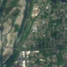
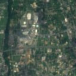
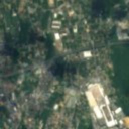
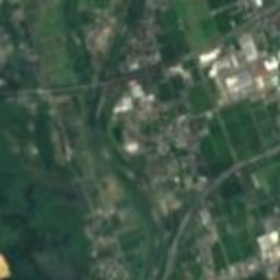
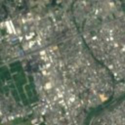
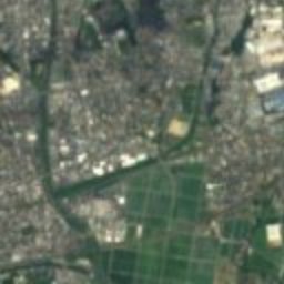
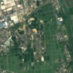
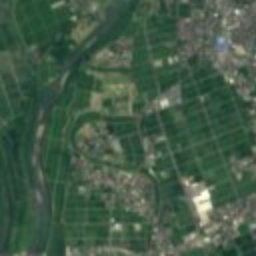
Satellite: Sentinel-2 cloudless 2016 by EOX IT Services GmbH · CC BY 4.0 · Contains modified Copernicus Sentinel data 2016
Mikuriya Kofun Group
3.0 km E
Historic Site of Japan
Around here
Iwata and around

Nature
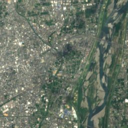
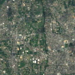
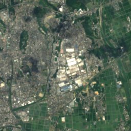
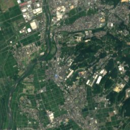
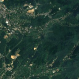
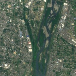
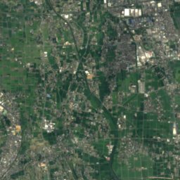
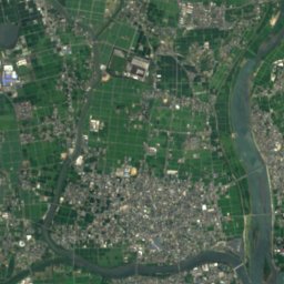
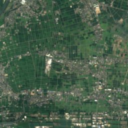
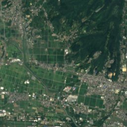
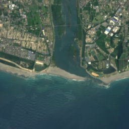
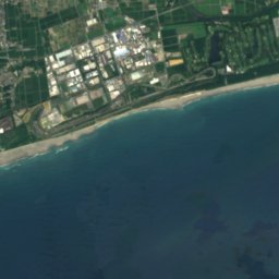
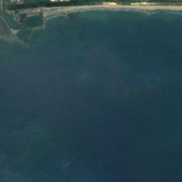
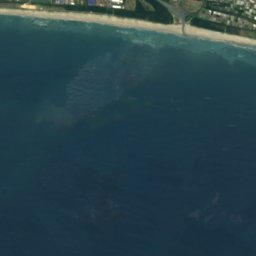
Satellite: Sentinel-2 cloudless 2016 by EOX IT Services GmbH · CC BY 4.0 · Contains modified Copernicus Sentinel data 2016
Ōta River, Shizuoka
River
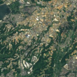
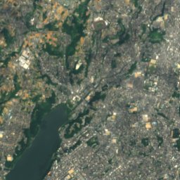
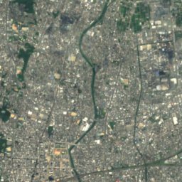
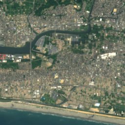
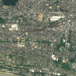
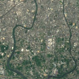

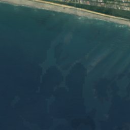
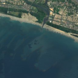
Satellite: Sentinel-2 cloudless 2016 by EOX IT Services GmbH · CC BY 4.0 · Contains modified Copernicus Sentinel data 2016
Magome River
River
Satellite: Sentinel-2 cloudless 2016 by EOX IT Services GmbH · CC BY 4.0 · Contains modified Copernicus Sentinel data 2016
Anma River
River
Mountains
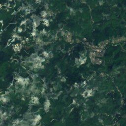
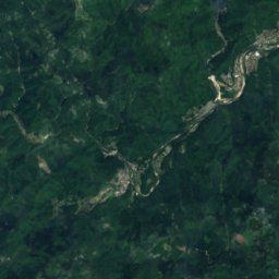
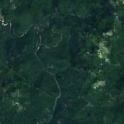
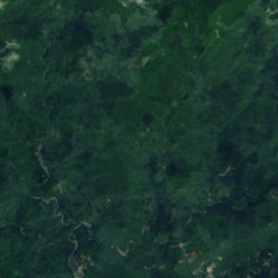
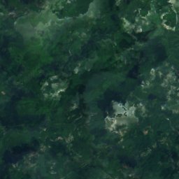
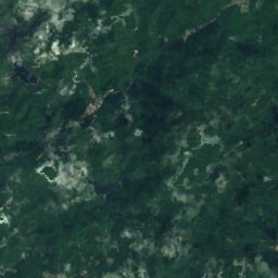
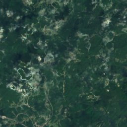
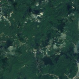
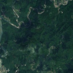
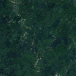
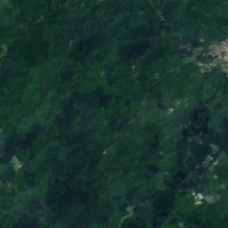
Satellite: Sentinel-2 cloudless 2016 by EOX IT Services GmbH · CC BY 4.0 · Contains modified Copernicus Sentinel data 2016
Akiha-san
873 m
Satellite: Sentinel-2 cloudless 2016 by EOX IT Services GmbH · CC BY 4.0 · Contains modified Copernicus Sentinel data 2016
Mount Akiha
866 m · Akaishi Mountains

Heritage

Tōtōmi-Ichinomiya Station
Registered Tangible Cultural Property of Japan · 1940
Museums

Satellite: Sentinel-2 cloudless 2016 by EOX IT Services GmbH · CC BY 4.0 · Contains modified Copernicus Sentinel data 2016
The Museum of Fragrance, Iwata
1997


