


























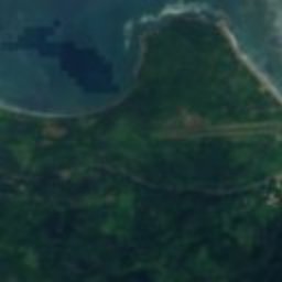





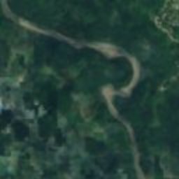

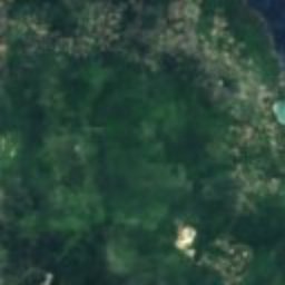
Satellite: Sentinel-2 cloudless 2016 by EOX IT Services GmbH · CC BY 4.0 · Contains modified Copernicus Sentinel data 2016
lighthousePort Antonio, Portland Parish
Folly Lighthouse
national monumentBuilt 1888
Typelighthouse
Built1888
Best monthsJan–Marweather in Port Antonio
18.19° N, 76.44° WUTC−5 · Eastern Standard Time
Standing for138 years
built 1888today 2026
When to goPort Antonio · weather score
Best timeJan–Mar
October: high / low31° / 25°
iAbout
Folly Lighthouse in brief
Folly Lighthouse is a lighthouse in Port Antonio, Portland Parish, Jamaica.
It holds the designation national monument.
The lighthouse dates from 1888.
For a visit, the weather in Port Antonio is best in January, February and March; in October afternoons average 31°.
Facts
- Type
- lighthouse
- Designation
- national monument
- Built
- 1888
- Nearest town
- Port Antonio
- Region
- Portland Parish
- Coordinates
- 18.18879, -76.44334
iiLocation
Where to find it
iiiWhen to visit
Climate guideWeather in Port Antonio
Month score for sightseeing
Best Jan–Mar61
Jan
68
Feb
64
Mar
54
Apr
44
May
38
Jun
38
Jul
38
Aug
36
Sep
38
Oct
43
Nov
50
Dec
Around here
Port Antonio and around




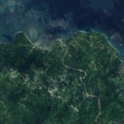

Satellite: Sentinel-2 cloudless 2016 by EOX IT Services GmbH · CC BY 4.0 · Contains modified Copernicus Sentinel data 2016
Port Antonio
Portland Parish · Jamaica
Jan–Marbest months
32°July high
2 maltitude
Nature
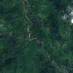
Satellite: Sentinel-2 cloudless 2016 by EOX IT Services GmbH · CC BY 4.0 · Contains modified Copernicus Sentinel data 2016
Guava River
River

Blue and John Crow Mountains National Park
National park

Mountains
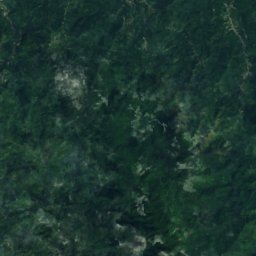
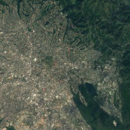
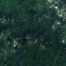
Satellite: Sentinel-2 cloudless 2016 by EOX IT Services GmbH · CC BY 4.0 · Contains modified Copernicus Sentinel data 2016
Blue Mountain Peak
2,256 m · Blue Mountains
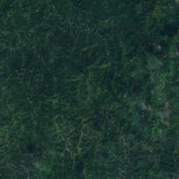
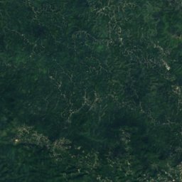
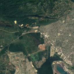


Satellite: Sentinel-2 cloudless 2016 by EOX IT Services GmbH · CC BY 4.0 · Contains modified Copernicus Sentinel data 2016
Sir Johns Peak
1,477 m · Blue Mountains