
Photo: Paolo Querci · CC BY-SA 3.0 · Wikimedia Commons
Torre MozzaReport this photo · linked, not stored
Torre MozzaReport this photo · linked, not stored
towerVignale Riotorto, Tuscany
Torre Mozza
Italian national heritageBuilt 1500
Typetower
Built1500
Best monthsApr–May · Octweather in Vignale Riotorto
42.95° N, 10.69° EUTC+1 · Central European Standard Time
Standing for526 years
built 1500today 2026
When to goVignale Riotorto · weather score
Best timeApr–May · Oct
October: high / low22° / 13°
iAbout
Torre Mozza in brief
Torre Mozza is a tower in Vignale Riotorto, Tuscany, Italy.
It holds the designation Italian national heritage.
The tower dates from 1500.
For a visit, the weather in Vignale Riotorto is best in April, May and October; in October afternoons average 22°.
Facts
- Type
- tower
- Designation
- Italian national heritage
- Built
- 1500
- Nearest town
- Vignale Riotorto
- Region
- Tuscany
- Coordinates
- 42.94565, 10.69417
iiLocation
Where to find it
iiiWhen to visit
Climate guideWeather in Vignale Riotorto
Month score for sightseeing
Best Apr–May · Oct49
Jan
52
Feb
65
Mar
76
Apr
77
May
75
Jun
69
Jul
65
Aug
75
Sep
77
Oct
64
Nov
49
Dec
Around here
Vignale Riotorto and around

Photo: Prof.Quatermass at Italian Wikipedia · Public domain · Wikimedia CommonsReport this photo · linked, not stored
Vignale Riotorto
Tuscany · Italy
Apr–May · Octbest months
30°July high
52 maltitude
Nature


Mountains


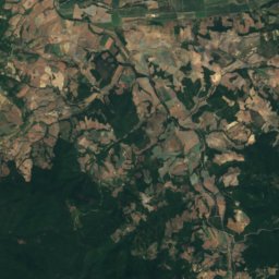
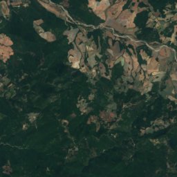
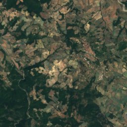
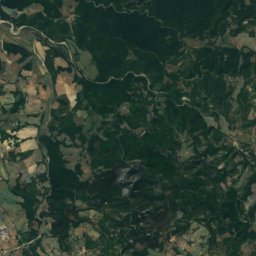
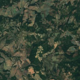
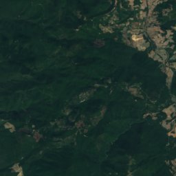
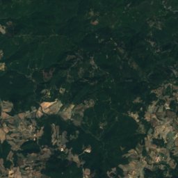
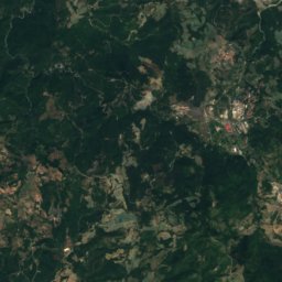
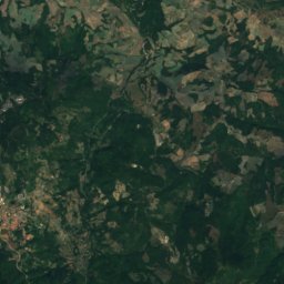
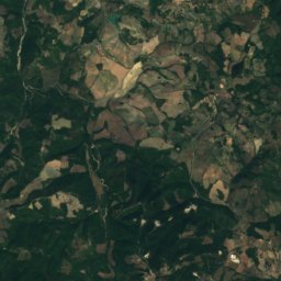
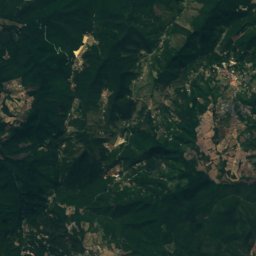
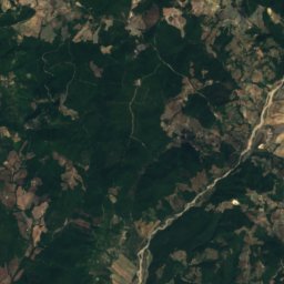
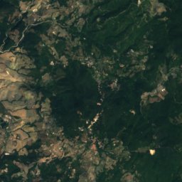
Satellite: Sentinel-2 cloudless 2016 by EOX IT Services GmbH · CC BY 4.0 · Contains modified Copernicus Sentinel data 2016
Monte Aia dei Diavoli
855 m · Colline Metallifere
Heritage

Photo: Prof.Quatermass at Italian Wikipedia · Public domain · Wikimedia CommonsReport this photo · linked, not stored
Sant'Antimo, Piombino
Italian national heritage · 1377


Parco Archeominerario di San Silvestro
Italian national heritage · 1996
Museums



Satellite: Sentinel-2 cloudless 2016 by EOX IT Services GmbH · CC BY 4.0 · Contains modified Copernicus Sentinel data 2016
Archaeological Museum of Populonia
History museum · 2001


Museo delle arti in ghisa nella Maremma
Industry museum · 1998