
Roman cityConza della Campania, Campania
Compsa
Italian national heritage
TypeRoman city
Built–
Best monthsMay–Jun · Sepweather in Conza della Campania
40.87° N, 15.33° EUTC+2 · Central European Summer Time
When to goConza della Campania · weather score
Best timeMay–Jun · Sep
October: high / low19° / 11°
iAbout
Compsa in brief
Compsa is a roman city in Conza della Campania, Campania, Italy.
It holds the designation Italian national heritage.
For a visit, the weather in Conza della Campania is best in May, June and September; in October afternoons average 19°.
Facts
- Type
- Roman city
- Designation
- Italian national heritage
- Nearest town
- Conza della Campania
- Region
- Campania
- Coordinates
- 40.86930, 15.33080
iiLocation
Where to find it
iiiWhen to visit
Climate guideWeather in Conza della Campania
Month score for sightseeing
Best May–Jun · Sep27
Jan
32
Feb
43
Mar
65
Apr
79
May
82
Jun
74
Jul
70
Aug
79
Sep
77
Oct
46
Nov
25
Dec
Around here
Conza della Campania and around

Conza della Campania
Campania · Italy
May–Jun · Sepbest months
28°July high
486 maltitude
Nature


Mountains
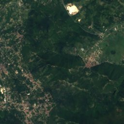
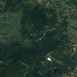
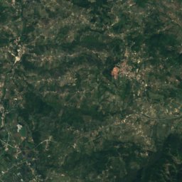
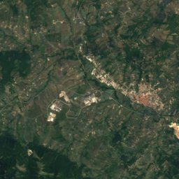
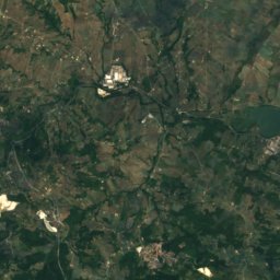
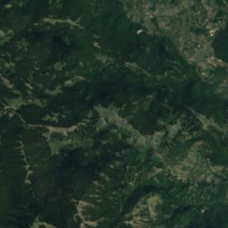
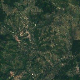
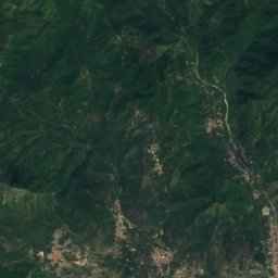
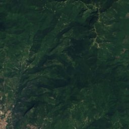
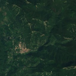
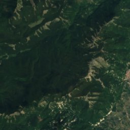
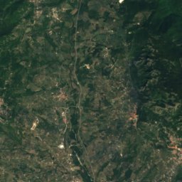
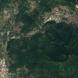
Satellite: Sentinel-2 cloudless 2016 by EOX IT Services GmbH · CC BY 4.0 · Contains modified Copernicus Sentinel data 2016
Cervialto
1,809 m · Monti Picentini
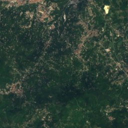
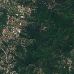
Satellite: Sentinel-2 cloudless 2016 by EOX IT Services GmbH · CC BY 4.0 · Contains modified Copernicus Sentinel data 2016
Monti Picentini
1,809 m · Campanian Apennine

Heritage

Photo: Niognulo at Italian Wikipedia · Public domain · Wikimedia CommonsReport this photo · linked, not stored
Villa D'Ayala
Italian national heritage
Museums
Satellite: Sentinel-2 cloudless 2016 by EOX IT Services GmbH · CC BY 4.0 · Contains modified Copernicus Sentinel data 2016
Museum of Pottery, Calitri
Archaeological museum · 2008



Satellite: Sentinel-2 cloudless 2016 by EOX IT Services GmbH · CC BY 4.0 · Contains modified Copernicus Sentinel data 2016
Museo della Civiltà Contadina e Artigiana
Ethnographic museum