
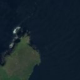
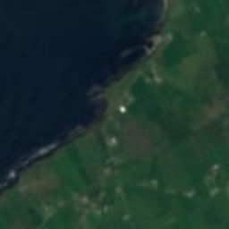
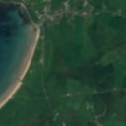
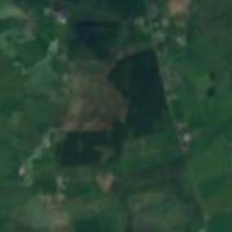
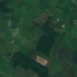
Satellite: Sentinel-2 cloudless 2016 by EOX IT Services GmbH · CC BY 4.0 · Contains modified Copernicus Sentinel data 2016

Photo: Patrice78500 · Public domain · Wikimedia Commons
KilmalkedarReport this photo · linked, not stored
KilmalkedarKilmalkedarReport this photo · linked, not stored

Photo: Ingo Mehling · CC BY-SA 3.0 · Wikimedia Commons
Gallarus OratoryReport this photo · linked, not stored
Gallarus OratoryGallarus OratoryReport this photo · linked, not stored

Photo: Seandálaí · CC BY-SA 4.0 · Wikimedia Commons
Temple-ManaghanReport this photo · linked, not stored
Temple-ManaghanTemple-ManaghanReport this photo · linked, not stored
monastery ruinsDingle, Munster
Reenconnell
national monument of Ireland
Typemonastery ruins
Built–
Best monthsJul–Sepweather in Dingle
52.19° N, 10.30° WUTC+0 · Greenwich Mean Time
When to goDingle · weather score
Best timeJul–Sep
October: high / low15° / 10°
iAbout
Reenconnell in brief
Reenconnell is a monastery ruins in Dingle, Munster, Ireland.
It holds the designation national monument of Ireland.
For a visit, the weather in Dingle is best in July, August and September; in October afternoons average 15°.
iiLocation
Where to find it
iiiWhen to visit
Climate guideWeather in Dingle
Month score for sightseeing
Best Jul–Sep16
Jan
16
Feb
21
Mar
32
Apr
43
May
53
Jun
58
Jul
59
Aug
54
Sep
41
Oct
27
Nov
19
Dec
ivNearby
All monuments in IrelandMore heritage close by
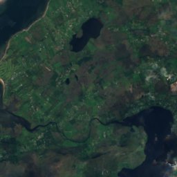
Satellite: Sentinel-2 cloudless 2016 by EOX IT Services GmbH · CC BY 4.0 · Contains modified Copernicus Sentinel data 2016
Caherdorgan North
2.6 km W
national monument of Ireland
Satellite: Sentinel-2 cloudless 2016 by EOX IT Services GmbH · CC BY 4.0 · Contains modified Copernicus Sentinel data 2016
Gallarus Castle
3.8 km W
national monument of Ireland
Around here
Dingle and around

Photo: Bjørn Christian Tørrissen · CC BY-SA 3.0 · Wikimedia CommonsReport this photo · linked, not stored
Dingle
Munster · Ireland
Jul–Sepbest months
18°July high
12 maltitude
Nature
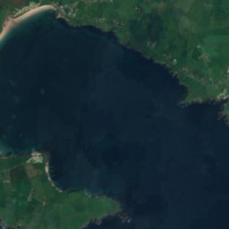
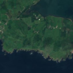
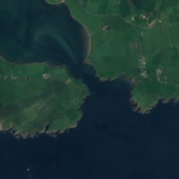
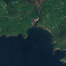
Satellite: Sentinel-2 cloudless 2016 by EOX IT Services GmbH · CC BY 4.0 · Contains modified Copernicus Sentinel data 2016
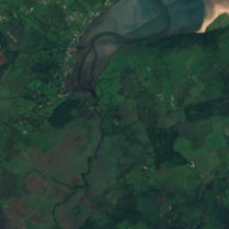
Milltown River
River
Satellite: Sentinel-2 cloudless 2016 by EOX IT Services GmbH · CC BY 4.0 · Contains modified Copernicus Sentinel data 2016
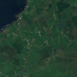
Monagh River
River
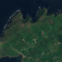
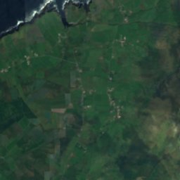
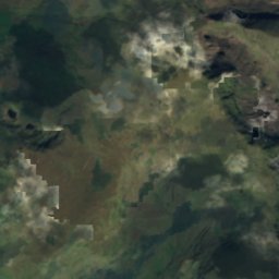
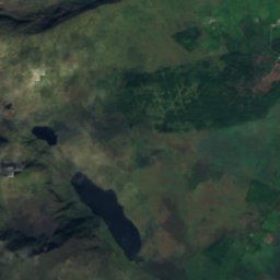
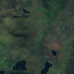
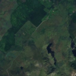
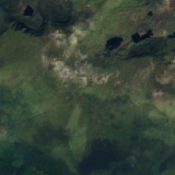
Satellite: Sentinel-2 cloudless 2016 by EOX IT Services GmbH · CC BY 4.0 · Contains modified Copernicus Sentinel data 2016
Lough Coumeenoughter
Lake · 107 m
Mountains
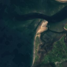
Satellite: Sentinel-2 cloudless 2016 by EOX IT Services GmbH · CC BY 4.0 · Contains modified Copernicus Sentinel data 2016
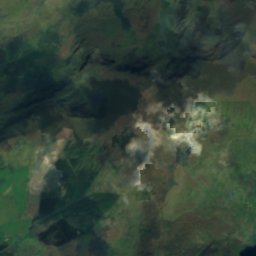
Carrauntoohil
1,039 m · MacGillycuddy's Reeks


