

Photo: فرشید منتخب · CC BY-SA 4.0 · Wikimedia Commons
Bisotun CaveReport this photo · linked, not stored
Bisotun CaveBisotun CaveReport this photo · linked, not stored

Photo: Ziegler175 · CC BY-SA 3.0 · Wikimedia Commons
Gotarzes II relief (Bisotun)Report this photo · linked, not stored
Gotarzes II relief (Bisotun)Gotarzes II relief (Bisotun)Report this photo · linked, not stored

Photo: فرشید منتخب · CC BY-SA 4.0 · Wikimedia Commons
Bisotun SpringReport this photo · linked, not stored
Bisotun SpringBisotun SpringReport this photo · linked, not stored

Photo: Lord aras · CC BY-SA 4.0 · Wikimedia Commons
Median FortressReport this photo · linked, not stored
Median FortressMedian FortressReport this photo · linked, not stored
cultural propertyBisotun, Kermanshah Province
Heracles statue
Iranian National HeritageBuilt 147 BC
Typecultural property
Built147 BC
Best monthsApr–May · Octweather in Bisotun
34.39° N, 47.44° EUTC+3:30 · Iran Standard Time
Standing for2,173 years
built 147 BCtoday 2026
When to goBisotun · weather score
Best timeApr–May · Oct
October: high / low24° / 11°
iAbout
Heracles statue in brief
Heracles statue is a cultural property in Bisotun, Kermanshah Province, Iran.
It holds the designation Iranian National Heritage.
The cultural property dates from 147 bc.
For a visit, the weather in Bisotun is best in April, May and October; in October afternoons average 24°.
Facts
- Type
- cultural property
- Designation
- Iranian National Heritage
- Built
- 147 BC
- Nearest town
- Bisotun
- Region
- Kermanshah Province
- Coordinates
- 34.39044, 47.43739
iiLocation
Where to find it
iiiWhen to visit
Climate guideWeather in Bisotun
Month score for sightseeing
Best Apr–May · Oct40
Jan
38
Feb
48
Mar
85
Apr
90
May
67
Jun
58
Jul
58
Aug
70
Sep
98
Oct
67
Nov
40
Dec
ivNearby
All monuments in IranMore heritage close by
Satellite: Sentinel-2 cloudless 2016 by EOX IT Services GmbH · CC BY 4.0 · Contains modified Copernicus Sentinel data 2016
Gotarzes I relief (Bisotun)
under 100 m SW
Iranian National Heritage

Around here
Bisotun and around

Photo: Ninara from Helsinki, Finland · CC BY 2.0 · Wikimedia CommonsReport this photo · linked, not stored
Bisotun
Kermanshah Province · Iran
Apr–May · Octbest months
37°July high
1,297 maltitude
Nature
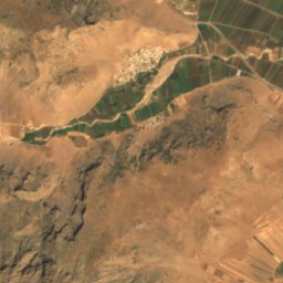
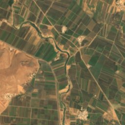
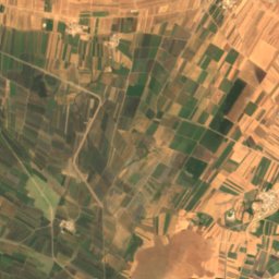
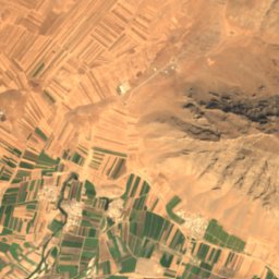
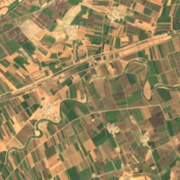
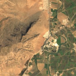
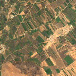
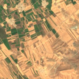
Satellite: Sentinel-2 cloudless 2016 by EOX IT Services GmbH · CC BY 4.0 · Contains modified Copernicus Sentinel data 2016
Markharal Cave
Cave
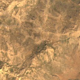
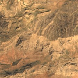
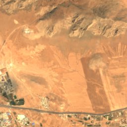
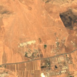
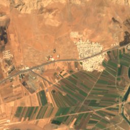
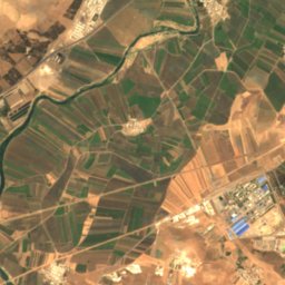
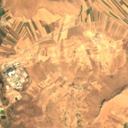
Satellite: Sentinel-2 cloudless 2016 by EOX IT Services GmbH · CC BY 4.0 · Contains modified Copernicus Sentinel data 2016
Maraftab Cave
Cave
Mountains

Photo: Ali Heidari - علی حیدری · CC BY-SA 4.0 · Wikimedia CommonsReport this photo · linked, not stored
Mount Paraw
3,386 m · Zagros Mountains
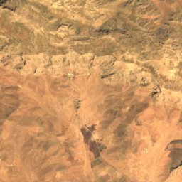
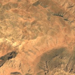
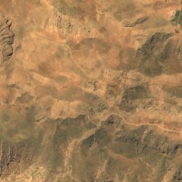
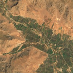
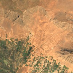
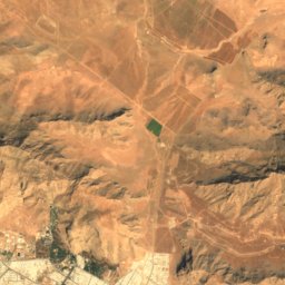
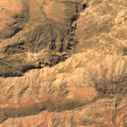
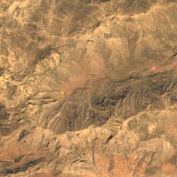
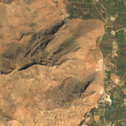
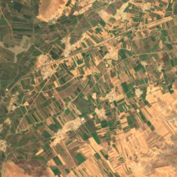
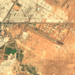
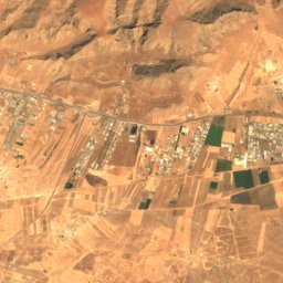
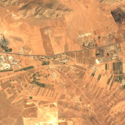
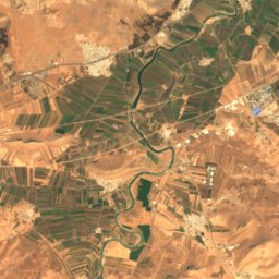
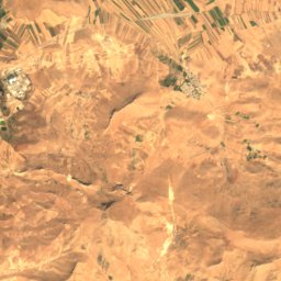
Satellite: Sentinel-2 cloudless 2016 by EOX IT Services GmbH · CC BY 4.0 · Contains modified Copernicus Sentinel data 2016
Zanhan
2,855 m

Heritage


Shah Abbasi Caravanserai of Bisotun
Iranian National Heritage