


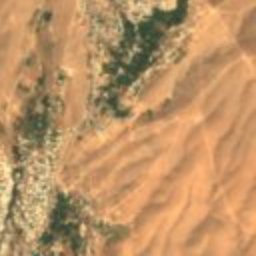
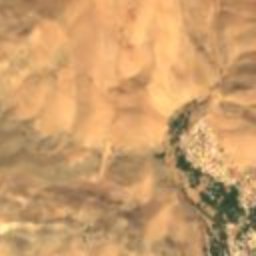
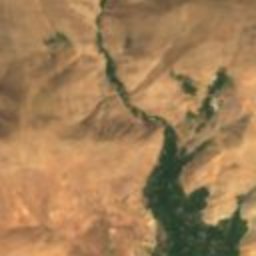
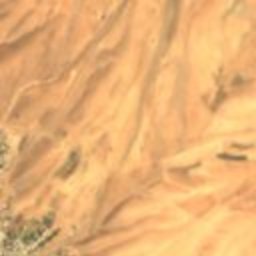

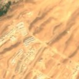
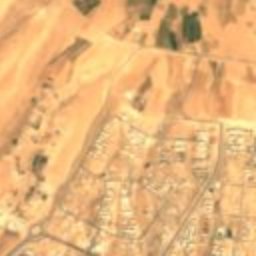
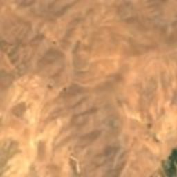
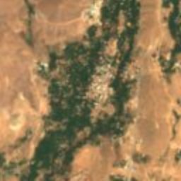
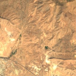
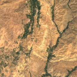
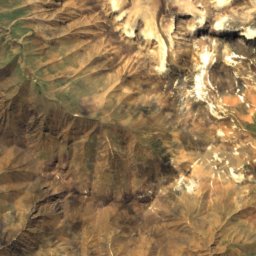
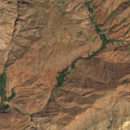
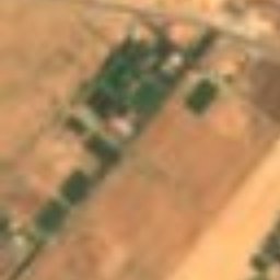
Satellite: Sentinel-2 cloudless 2016 by EOX IT Services GmbH · CC BY 4.0 · Contains modified Copernicus Sentinel data 2016
human settlementFashand, Alborz Province
Fashand
Iranian National Heritage
Typehuman settlement
Built–
Best monthsMay–Jun · Sepweather in Fashand
36.03° N, 50.76° EUTC+3:30 · Iran Standard Time
When to goFashand · weather score
Best timeMay–Jun · Sep
October: high / low19° / 8°
iAbout
Fashand in brief
Fashand is a human settlement in Fashand, Alborz Province, Iran.
It holds the designation Iranian National Heritage.
For a visit, the weather in Fashand is best in May, June and September; in October afternoons average 19°.
Facts
- Type
- human settlement
- Designation
- Iranian National Heritage
- Nearest town
- Fashand
- Region
- Alborz Province
- Coordinates
- 36.03278, 50.75611
iiLocation
Where to find it
iiiWhen to visit
Climate guideWeather in Fashand
Month score for sightseeing
Best May–Jun · Sep33
Jan
34
Feb
33
Mar
65
Apr
88
May
78
Jun
62
Jul
62
Aug
75
Sep
73
Oct
33
Nov
34
Dec
Around here
Fashand and around
Nature


Mountains
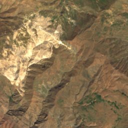
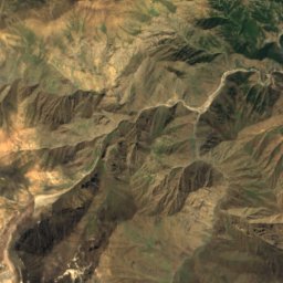
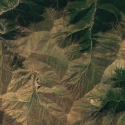
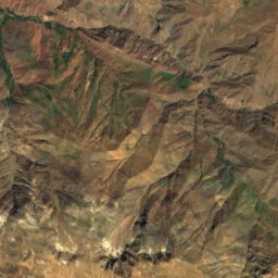
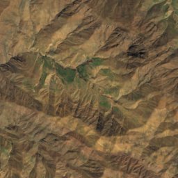
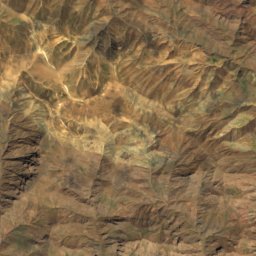
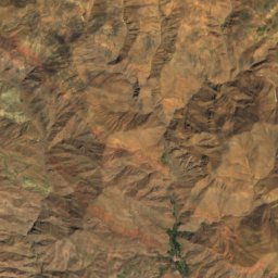
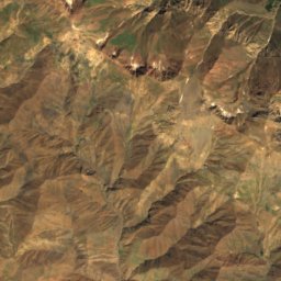
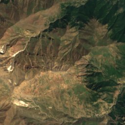
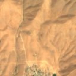
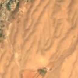
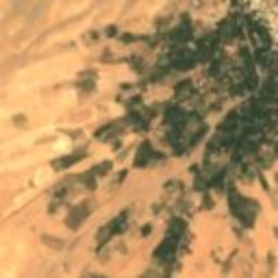
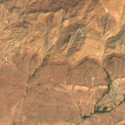
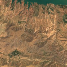
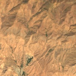
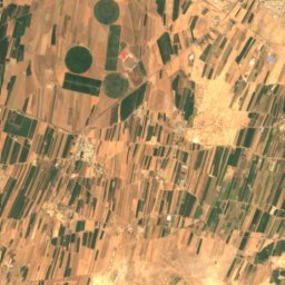
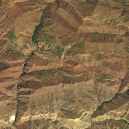
Satellite: Sentinel-2 cloudless 2016 by EOX IT Services GmbH · CC BY 4.0 · Contains modified Copernicus Sentinel data 2016
Gardoon Kuh
4,402 m
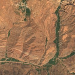
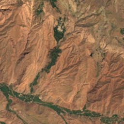
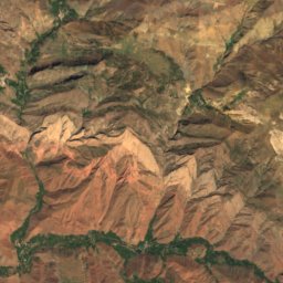
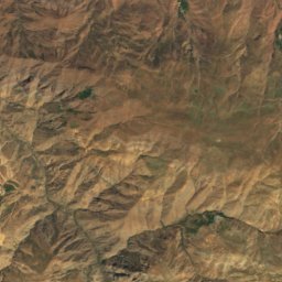
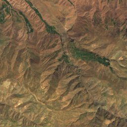
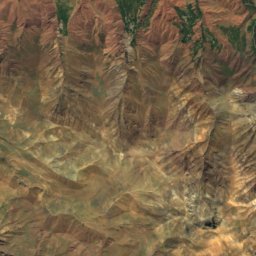
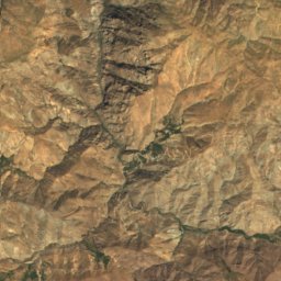
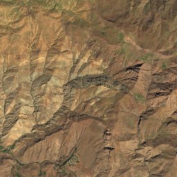
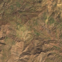
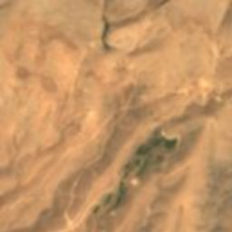
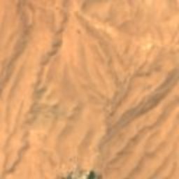
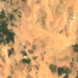
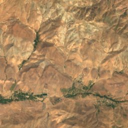
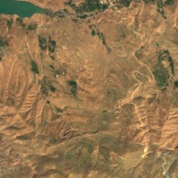
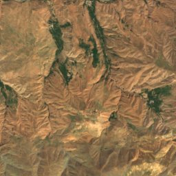
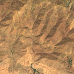
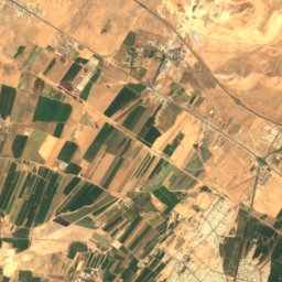
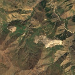
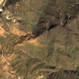
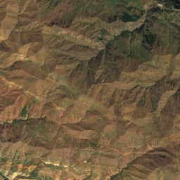
Satellite: Sentinel-2 cloudless 2016 by EOX IT Services GmbH · CC BY 4.0 · Contains modified Copernicus Sentinel data 2016
Shah Alborz
4,200 m · Alborz
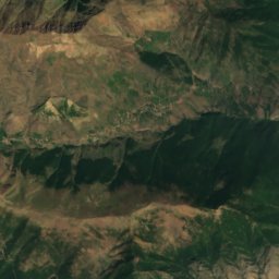
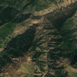
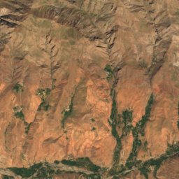
Heritage







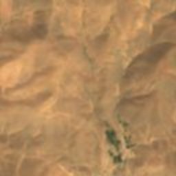
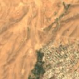
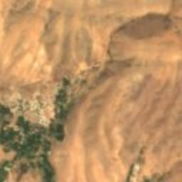
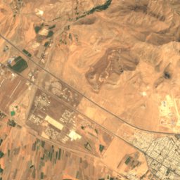
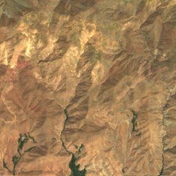
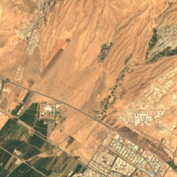
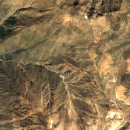
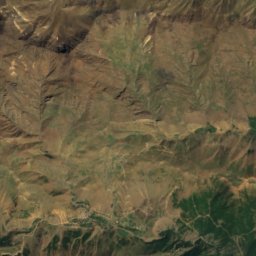
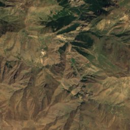
Satellite: Sentinel-2 cloudless 2016 by EOX IT Services GmbH · CC BY 4.0 · Contains modified Copernicus Sentinel data 2016
Imamzadeh Husayn (Kordan)
Iranian National Heritage