
Photo: MyName (Coffeetalkh (talk)) · CC BY-SA 3.0 · Wikimedia Commons
Do-Ashkaft CaveReport this photo · linked, not stored
Do-Ashkaft CaveReport this photo · linked, not stored

Photo: Ali Heidari - علی حیدری · CC BY-SA 4.0 · Wikimedia Commons
Taq-e BostanReport this photo · linked, not stored
Taq-e BostanTaq-e BostanReport this photo · linked, not stored

Photo: dynamosquito from France · CC BY-SA 2.0 · Wikimedia Commons
Coronation of Ardashir IIReport this photo · linked, not stored
Coronation of Ardashir IICoronation of Ardashir IIReport this photo · linked, not stored

Photo: MyName (Coffeetalkh (talk)) · CC BY-SA 3.0 · Wikimedia Commons
Khosrow Parviz Hunting GroundReport this photo · linked, not stored
Khosrow Parviz Hunting GroundKhosrow Parviz Hunting GroundReport this photo · linked, not stored
cultural propertyDeh Pahn, Kermanshah Province
Do-Ashkaft Cave
Iranian National Heritage
Typecultural property
Built–
Best monthsApr–May · Octweather in Deh Pahn
34.40° N, 47.13° EUTC+3:30 · Iran Standard Time
When to goDeh Pahn · weather score
Best timeApr–May · Oct
October: high / low24° / 10°
iAbout
Do-Ashkaft Cave in brief
Do-Ashkaft Cave is a cultural property in Deh Pahn, Kermanshah Province, Iran.
It holds the designation Iranian National Heritage.
For a visit, the weather in Deh Pahn is best in April, May and October; in October afternoons average 24°.
Facts
- Type
- cultural property
- Designation
- Iranian National Heritage
- Nearest town
- Deh Pahn
- Region
- Kermanshah Province
- Coordinates
- 34.40095, 47.13081
iiLocation
Where to find it
iiiWhen to visit
Climate guideWeather in Deh Pahn
Month score for sightseeing
Best Apr–May · Oct41
Jan
39
Feb
50
Mar
85
Apr
90
May
69
Jun
58
Jul
58
Aug
71
Sep
98
Oct
67
Nov
40
Dec
ivNearby
All monuments in IranMore heritage close by
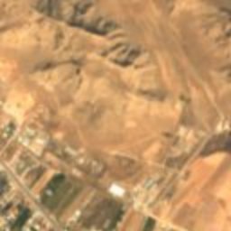
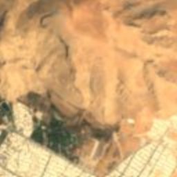
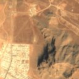
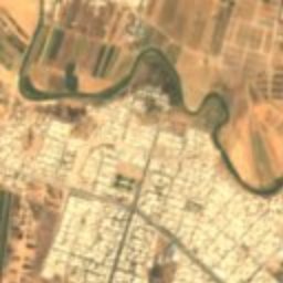
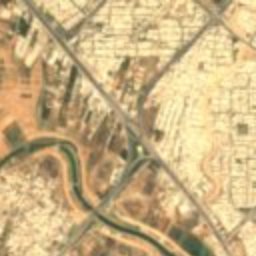
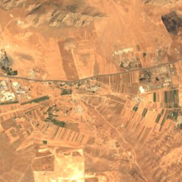
Satellite: Sentinel-2 cloudless 2016 by EOX IT Services GmbH · CC BY 4.0 · Contains modified Copernicus Sentinel data 2016
Relief of Shapur II and Shapur III
1.5 km S
Iranian National Heritage
Photo: Ali Heidari - علی حیدری · CC BY-SA 4.0 · Wikimedia CommonsReport this photo · linked, not stored
Taq-e Bostan
1.5 km S
Tentative World Heritage Site
Satellite: Sentinel-2 cloudless 2016 by EOX IT Services GmbH · CC BY 4.0 · Contains modified Copernicus Sentinel data 2016
Masudiyeh Mansion, Deh Pahn
1.5 km S
Iranian National Heritage
Photo: dynamosquito from France · CC BY-SA 2.0 · Wikimedia CommonsReport this photo · linked, not stored
Coronation of Ardashir II
1.5 km S
Iranian National Heritage
Satellite: Sentinel-2 cloudless 2016 by EOX IT Services GmbH · CC BY 4.0 · Contains modified Copernicus Sentinel data 2016
Plane of Shirin and Farhad
1.5 km S
Iranian National Natural Heritage
Photo: MyName (Coffeetalkh (talk)) · CC BY-SA 3.0 · Wikimedia CommonsReport this photo · linked, not stored
Khosrow Parviz Hunting Ground
3.0 km S
Iranian National Heritage
Around here
Deh Pahn and around
Photo: Ali Heidari - علی حیدری · CC BY-SA 4.0 · Wikimedia CommonsReport this photo · linked, not stored
Deh Pahn
Kermanshah Province · Iran
Apr–May · Octbest months
37°July high
1,306 maltitude
Nature
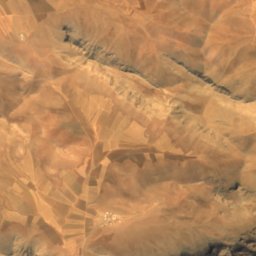
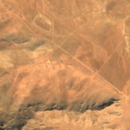
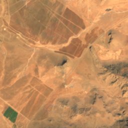
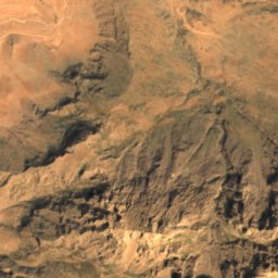
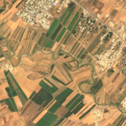
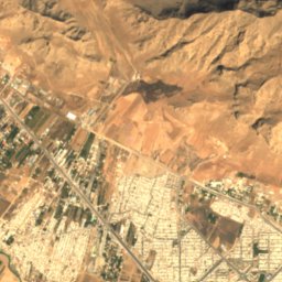
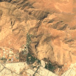
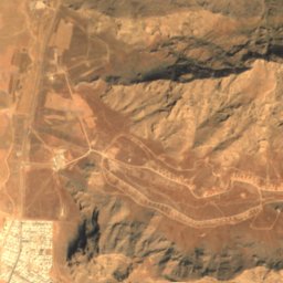
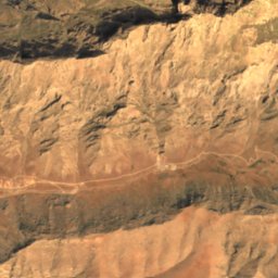
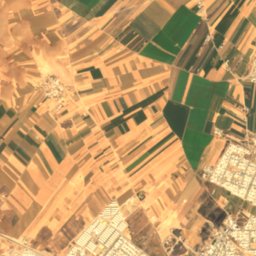
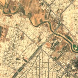
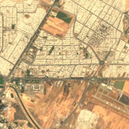
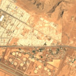
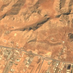
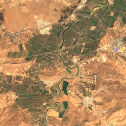
Satellite: Sentinel-2 cloudless 2016 by EOX IT Services GmbH · CC BY 4.0 · Contains modified Copernicus Sentinel data 2016
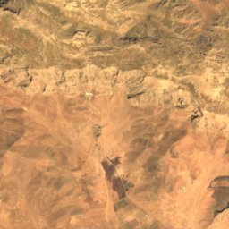
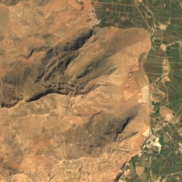
Taq-e Bostan Lake
Lake · 1,323 m
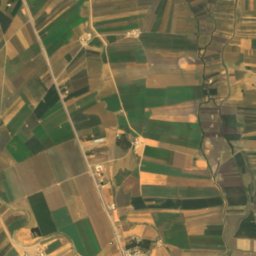
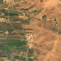
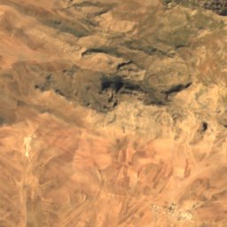
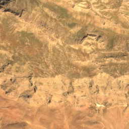
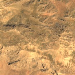
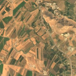
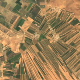
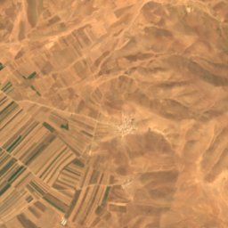
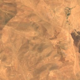
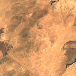
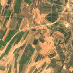
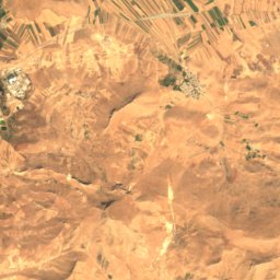
Satellite: Sentinel-2 cloudless 2016 by EOX IT Services GmbH · CC BY 4.0 · Contains modified Copernicus Sentinel data 2016
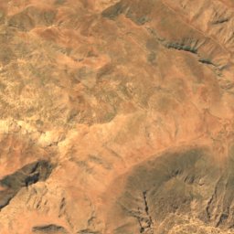
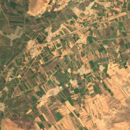
Warwasi
Cave
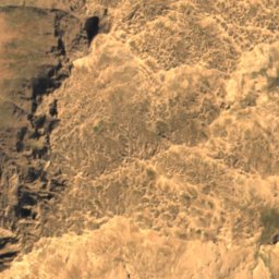
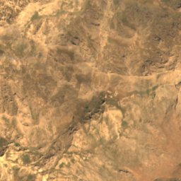
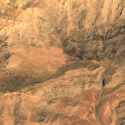
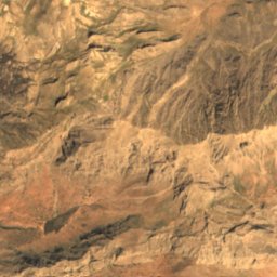
Satellite: Sentinel-2 cloudless 2016 by EOX IT Services GmbH · CC BY 4.0 · Contains modified Copernicus Sentinel data 2016
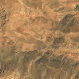
Paraw Cave
Cave · 3,050 m
Mountains

Photo: Ali Heidari - علی حیدری · CC BY-SA 4.0 · Wikimedia CommonsReport this photo · linked, not stored
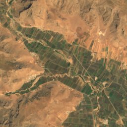
Mount Paraw
3,386 m · Zagros Mountains

Heritage
Satellite: Sentinel-2 cloudless 2016 by EOX IT Services GmbH · CC BY 4.0 · Contains modified Copernicus Sentinel data 2016
Tepe Sarab
Iranian National Heritage

Satellite: Sentinel-2 cloudless 2016 by EOX IT Services GmbH · CC BY 4.0 · Contains modified Copernicus Sentinel data 2016
Taq-e Bostan
Tentative World Heritage Site

Photo: Ninara from Helsinki, Finland · CC BY 2.0 · Wikimedia CommonsReport this photo · linked, not stored
Moaven al-Molk Tekiyeh
Iranian National Heritage · 1902
Museums
Satellite: Sentinel-2 cloudless 2016 by EOX IT Services GmbH · CC BY 4.0 · Contains modified Copernicus Sentinel data 2016
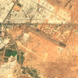
Zagros Paleolithic Museum
Paleontological museum · 2007
Satellite: Sentinel-2 cloudless 2016 by EOX IT Services GmbH · CC BY 4.0 · Contains modified Copernicus Sentinel data 2016
Taq-e Bostan Stone Museum
Archaeological museum


Satellite: Sentinel-2 cloudless 2016 by EOX IT Services GmbH · CC BY 4.0 · Contains modified Copernicus Sentinel data 2016
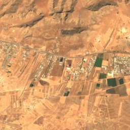
Kermanshah Anthropology Museum
1990